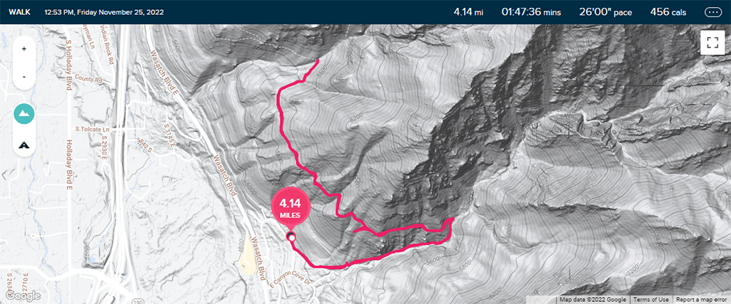
Hello, Heughs Canyon and Bonneville Shoreline Trails in Holladay, Utah

I had a small internal conflict about whether I should publish this blog post and these photos or not, because when I went hiking at this trail, I forgot my regular camera so I just snapped some quick shots from my phone.

What is extra problematic for me is that the views from this trail were actually pretty amazing, so not only does my phone not produce high-quality photo­graphs, but it doubly does not give the trail justice because of how vast and sweeping the real views were.

Ultimately, I decided to just post these anyway because I didn’t want to fall into the trap of content creators striving too much for perfection and being too hard on themselves. The entire point of my blog is supposed to be for me to leave a trail of memories to look back at, and this will still definitely serve that purpose.

The trailhead for the Heughs Canyon Trail is inside Canyon Cove, a wealthy neighborhood in Holladay, Utah. The “parking lot” for the trail is at the out­side of the subdivision and was just a short row of angled street parking spaces, but as I approached it, I didn’t notice it at first. I was driving too quickly and didn’t have enough space to slow down to get into a spot, so I just continued on into the neighborhood.

There were a lot of areas in the neighborhood that had “No Parking” signs, but I managed to find a clear area close to the trailhead, on Oak Canyon Drive. I’m not sure why, but there were three Greater Salt Lake Unified Police Department SUVs parked there in a row, so I just parked right alongside them in an effort to blend in and pretend like I belonged. That ended up working, because by the time I finished my hike and got back to my truck, I didn’t have a parking ticket.

Being able to park here was actually a pretty big deal, because the neighborhood is built on a hill and it would’ve added an extra 100 feet or so of el­e­va­tion gain and about half a mile round-trip onto my hike. This way, I was able to save my energy for the actual hike, as opposed to just walking to the trail­head.

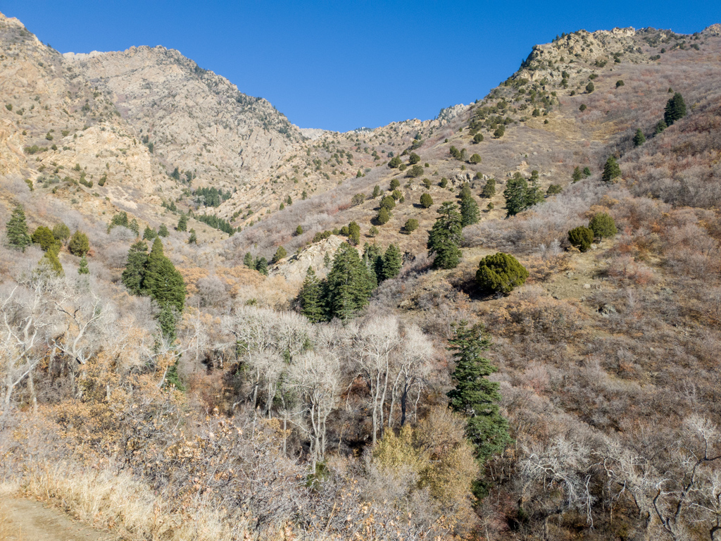
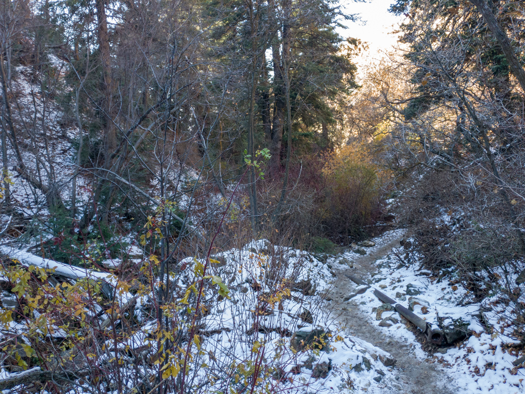
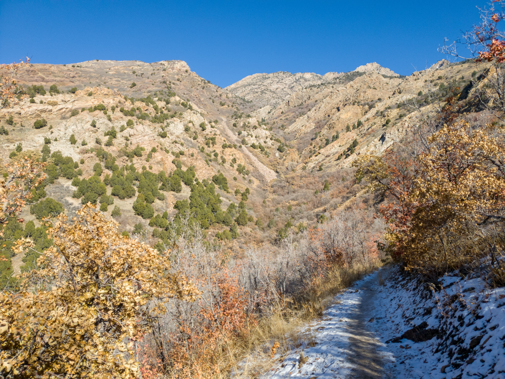
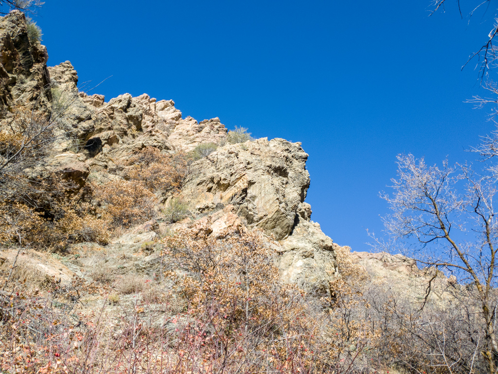
The beginning of the trail was basically just a straight shot deeper into the mountains via a narrow valley. This area was heavily shaded from the sun, so a lot of areas still had snow coverage, and some areas were even icy.

A little under a mile into the hike, I had an option of continuing deeper on Heughs Canyon Trail, but I instead took a switchback and connected onto Bonneville Shoreline Trail. I’m not really quite sure why it is called a “shoreline” trail; the elevation here was over a mile above sea level and about a thousand feet above the rest of Holladay, so if the water level rose that much, then I guess it could’ve technically been a path along the shoreline.

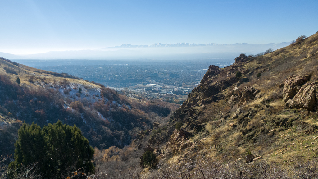
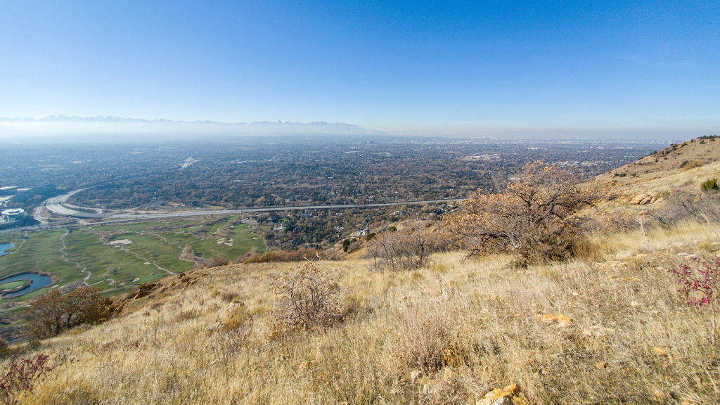
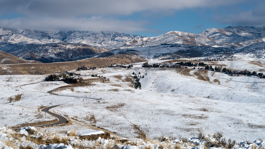
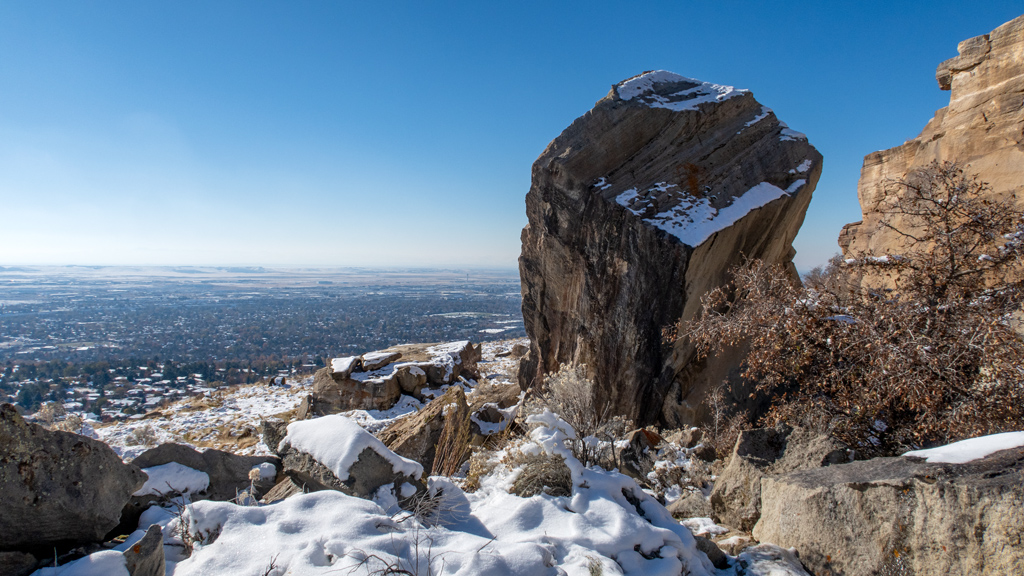
After making that switchback, I started seeing the amazing views into the Salt Lake City metropolitan area.

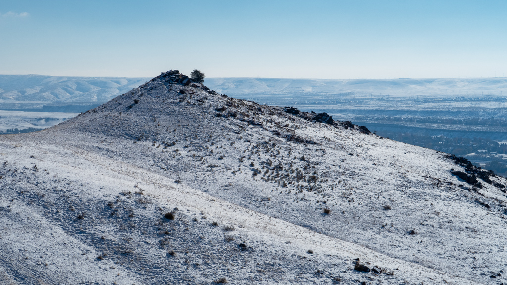
I continued on along the trail, which progressively opened up better and better views of the city. Again, I’m disappointed that I only had my phone to take photos because its optical zoom is highly limited (as you can tell) and anything above its optical zoom limit is just digital zoom, so you can’t really pick up much detail of the cities and mountains.

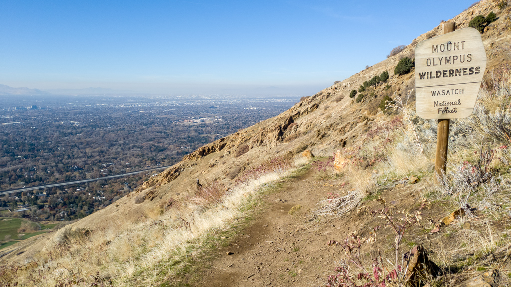
Part-way through my hike, I entered the Mount Olympus Wilderness, part of the Wasatch National Forest.

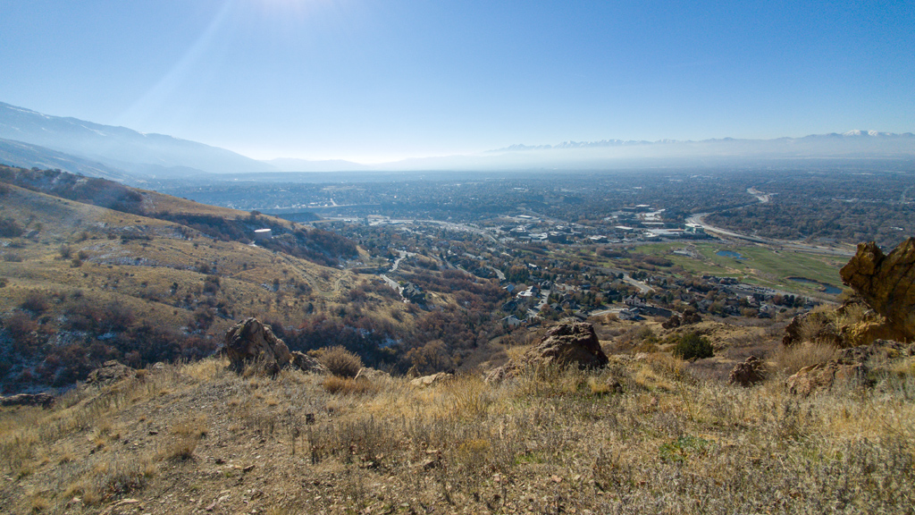
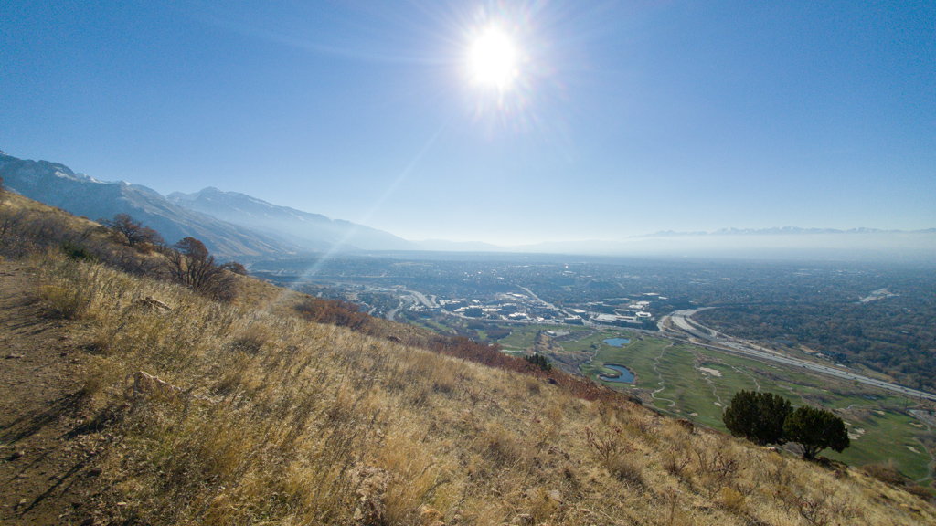
The trail slightly curved along the mountainside, so as I continued to walk, it progressively opened up slightly new angles of perspective of the view of the city.

I loved that there was some very low haze coverage on this day, presumably of some thicker mist or moisture. It created a narrow layer of white above the horizon, but the skies were still clear, so the tips of the mountains to the west still stuck out above the haze, which made for a very interesting sight.

Once I reached the intersection with Mount Olympus Trail, I retraced my steps back and returned to my truck.

My round-trip hike ended up being a little bit over 4 miles (which is just over 6.5 kilometers). I didn’t have a working altimeter so I don’t know for sure, but based on the topographical map, it appears like my total elevation gain for the hike was about 900 feet (or about 275 meters).


—§—


Hello, Land Cruiser Heritage Museum in Salt Lake City, Utah

After traveling across the United States and a portion of Canada for about a year and a half now, it feels like I’ve seen most of what there is to see.

When I go to a new city, I like to go to something that the city is known for (like the Indianapolis Motor Speedway in Indianapolis, or the Kentucky Derby Mu­se­um in Louisville), but some areas don’t really have anything that iconic. Yes, most places will have some sort of regional history museum, but it’s not nec­es­sar­i­ly going to be something with nationwide prestige.

Alternatively, I try to look for specialty museums—museums that might not be tied to a specific place, but are so unique and one-of-a-kind that I likely won’t see a variant of it again anywhere else.

While visiting Salt Lake City, Utah, I found a great example of something exactly like that: the Land Cruiser Heritage Museum, a museum dedicated to Toyota Land Cruisers and other related Toyota vehicles.

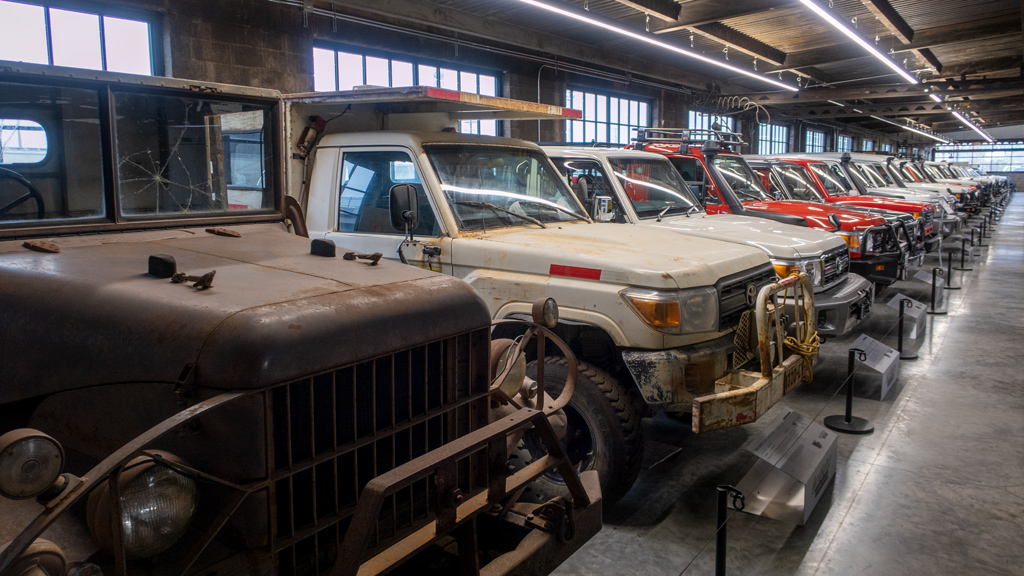
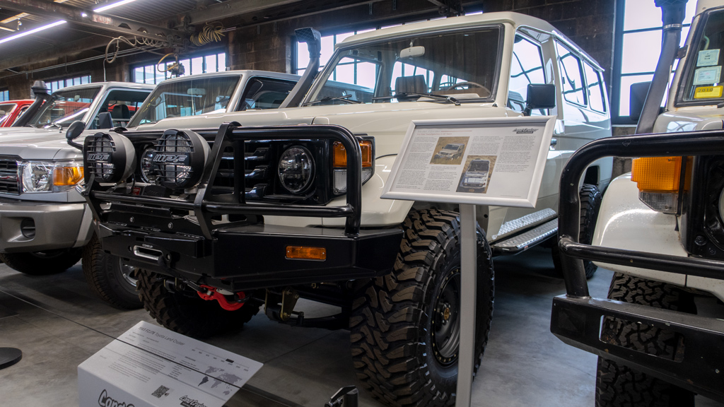
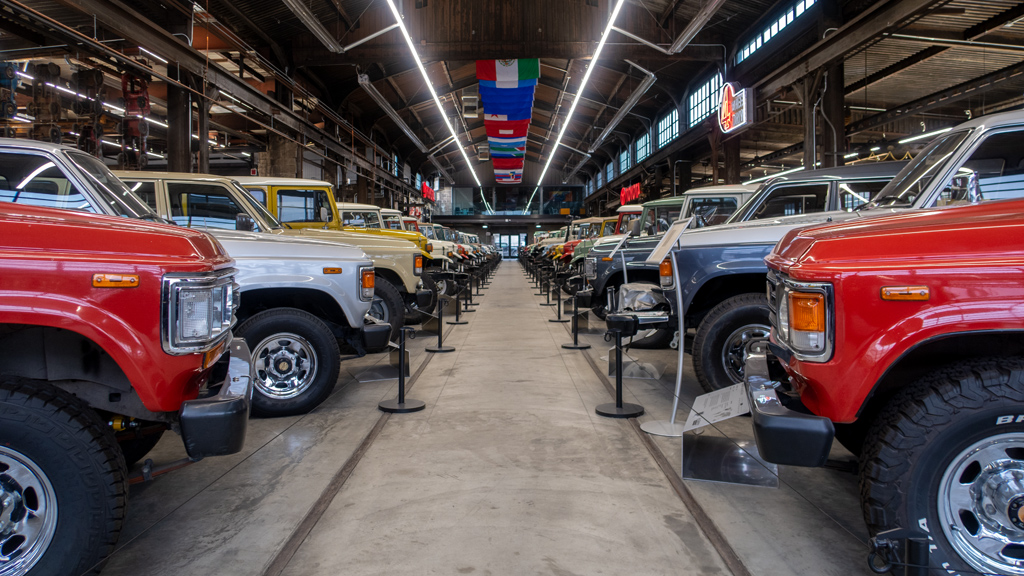
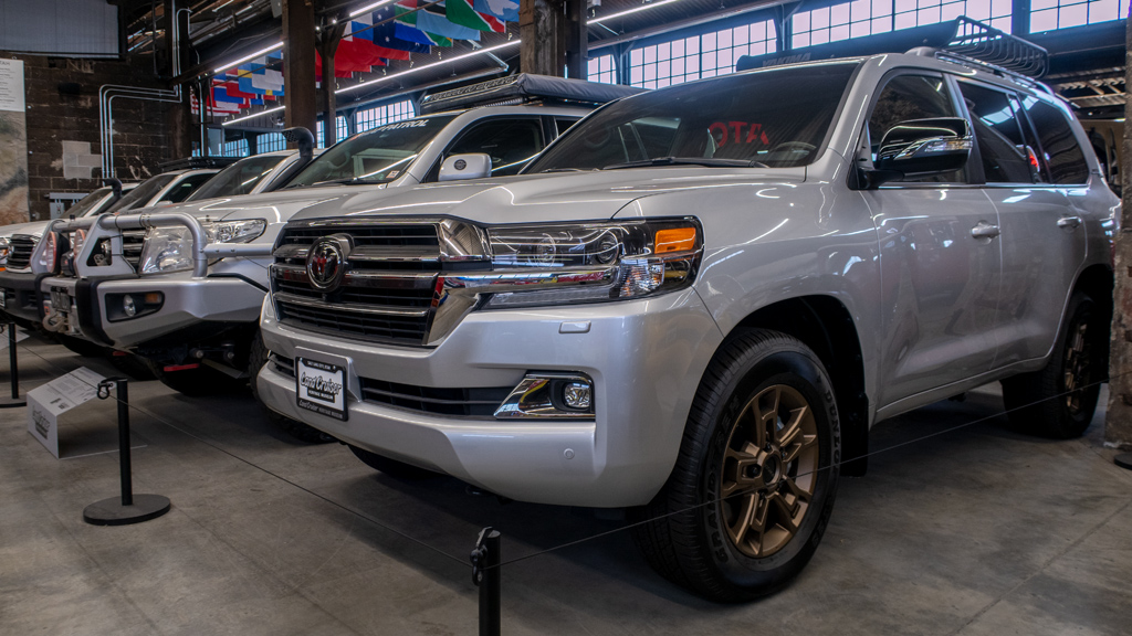
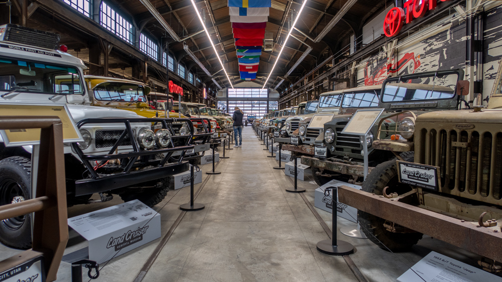
This museum had multiple rows of Land Cruiser trucks and SUVs ranging from models from 1953 all the way to 2021. Beside each vehicle was a very thor­ough description that provided specifications, gave a summary of the general model, and shared a history of that particular vehicle (i.e., what it did dur­ing its lifetime and how it ended up at the museum).

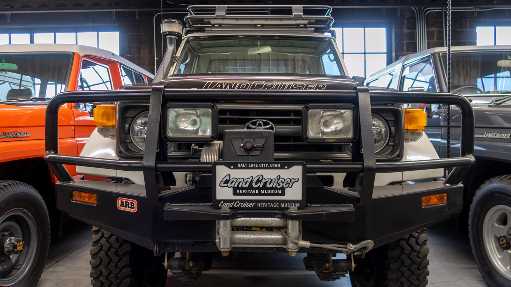
Many of the Land Cruisers had modifications for functionality. One of my favorite things about pickup trucks and body-on-frame SUVs is their easy mod­ability and how owners can change specific parts to their liking to serve their own unique and personalized purpose. It’s fun looking at various up­grades and making the connection of how it was relevant to the vehicle’s story.

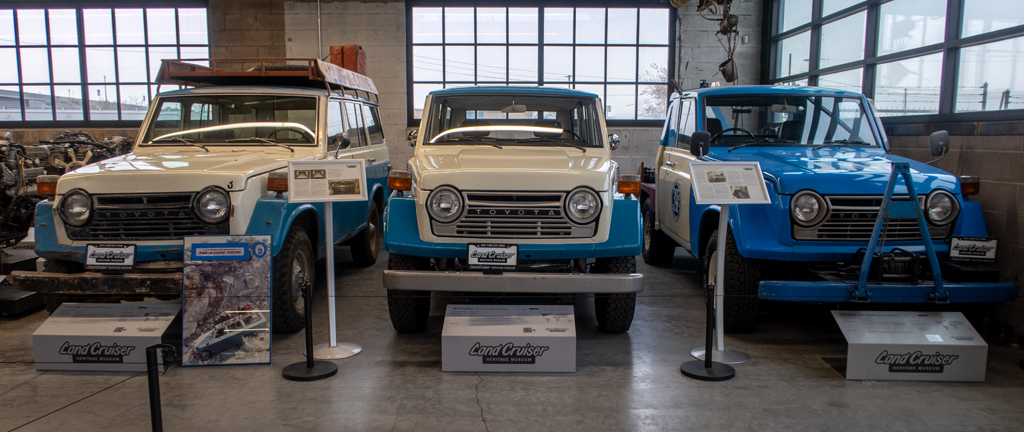
These dark baby blue and white Land Cruisers were FJ models. If I remember correctly, the one on the right was used as a tow truck.

As I looped around one row of Land Cruisers, I turned around the bend and looked down two more parallel rows of even more Land Cruisers.

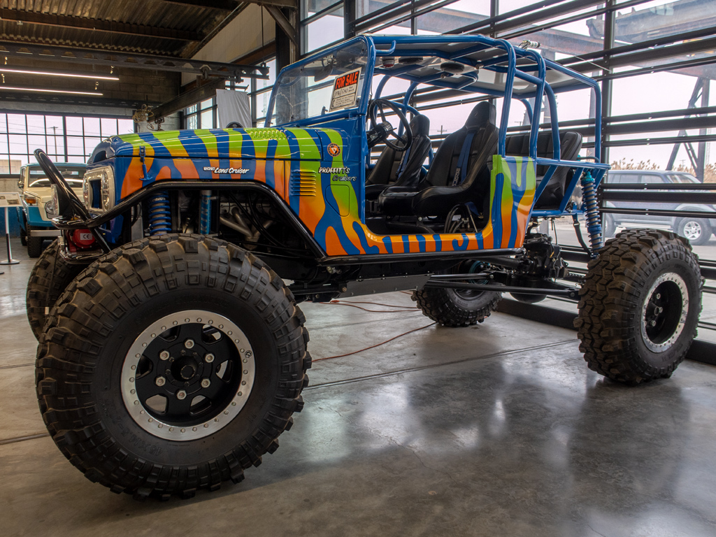
Apparently this monster truck version of a Land Cruiser was for sale.

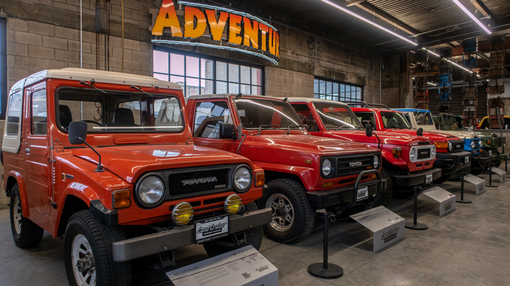
Here are some more FJ models, these from the “Adventure” section. The one thing I remember from this section was that, I’m not sure why, but one of these vehicles had never been used and was straight out of the factory. This meant that a dealership didn’t even have the opportunity yet to remove any of the protective plastic and prepare it for sale. You see the protective plastic film on electronics all the time, but it was very unexpected to see it on the outside of a motor vehicle.

Of course, a Land Cruiser collection wouldn’t be complete without the latest 2021 model. For those who don’t keep up with trucks and SUVs, Toyota de­cid­ed to discontinue the Land Cruiser, so this will be the last model made. I’m curious how this museum is going to react to that—whether they will start bringing in some Sequoias instead, or just focus purely on historical models.

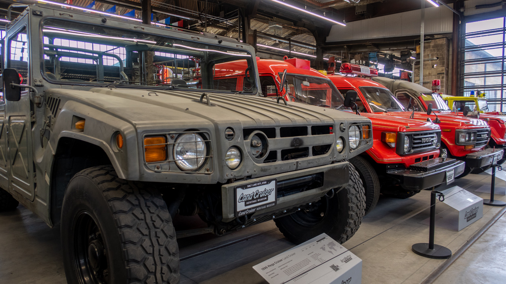
This is a Mega Cruiser from the 1990s designed to be a military vehicle. It is extremely boxy, so it looks unmanageably gigantic. Funny enough, though, I checked the specifications on the info placard and discovered from the dimensions that the width of this Mega Cruiser is actually narrower than the Ram TRX and Ford F-150 Raptor.

This reminded me of when Tesla first unveiled the Cybertruck and people thought it was massive… without realizing that the published dimensions made it nearly identical in size to a traditional full-size pickup truck like a Ford F-150 or Chevrolet Silverardo. This goes to show how much body lines and other aesthetic factors have a play in a vehicle’s perceived size.

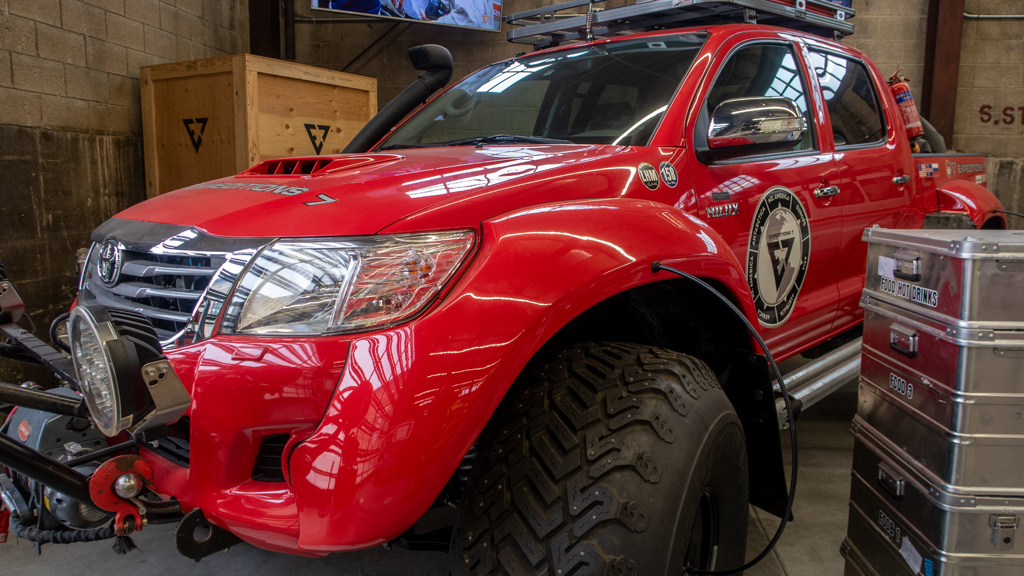
This is clearly a Toyota Hilux and not a Land Cruiser, but the reason it was included in this museum, and the reason I included it in my blog post, is due to its incredible story. This Hilux was part of the “Arctic Trucks” collection and served on some of the harshest expeditions across Antarctica and Green­land.

There was a lot of information posted about these expedition vehicles, and reading through all of them made me gain a lot of respect for the people who decide to conquer the most remote areas of the planet in a small group, and along the way, demonstrating great self-reliance by overcoming catastrophic levels of vehicular damage inflicted by unexpected obstacles.

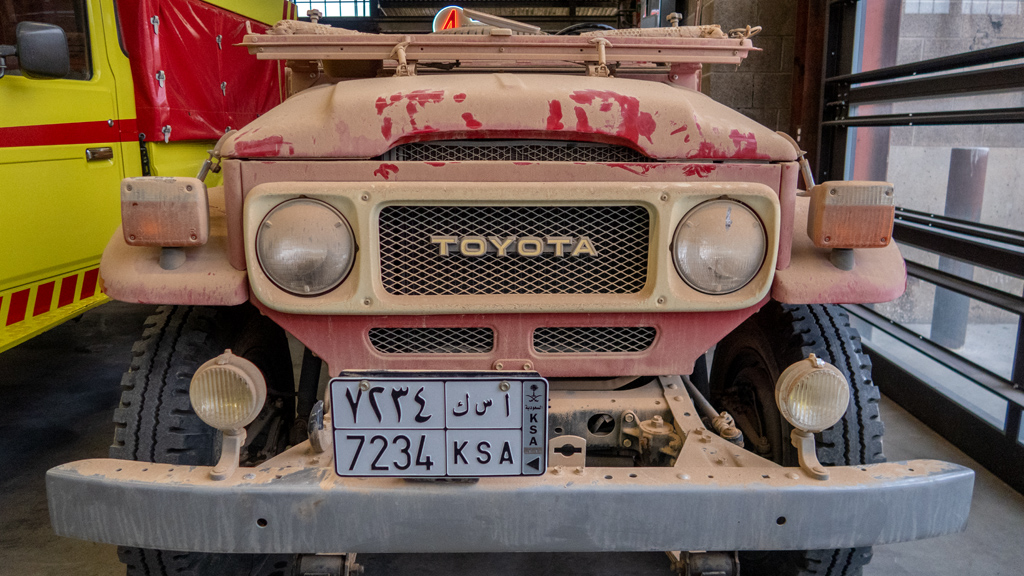
I took a picture of this vehicle because I found it funny that it arrived at the museum with all its Middle Eastern dirt and dust intact. You can see where people had touched it, which I imagine is what prompted the museum to further place an additional sign reminding people not to touch it.

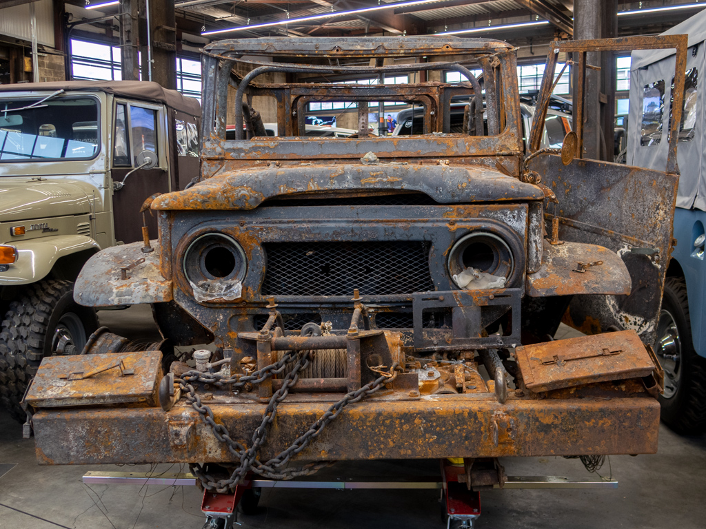
This charred FJ Land Cruiser had my favorite story behind it, albeit a sad one. Owned by a former Butte County sheriff, this Land Cruiser was engulfed in flames during the 2018 Camp Fire in Paradise, California—a fire that I specifically remember hearing and reading about as it was happening four years ago. It is the most destructive Californian wildfire to date, and it took about three weeks for the fire to be fully contained.

This Land Cruiser sits in the museum to remind us of the fragility of life, the speed at which things can be abruptly taken from us, and the importance of cherishing and appreciating the people and belongings we love.

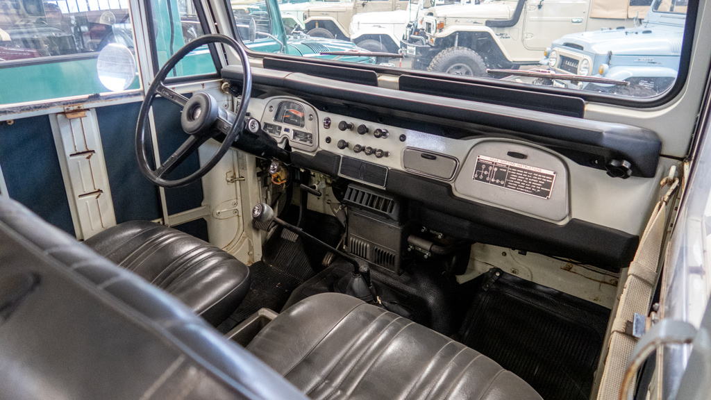
It was difficult to get any interior shots because of how the museum was organized and how cramped the vehicles were placed alongside each other (which was sort of a necessity due to the vast quantity of vehicles on display and the limited space in the building), but I was able to peek into some of the Land Cruisers that were on the corner edges by the aisles.

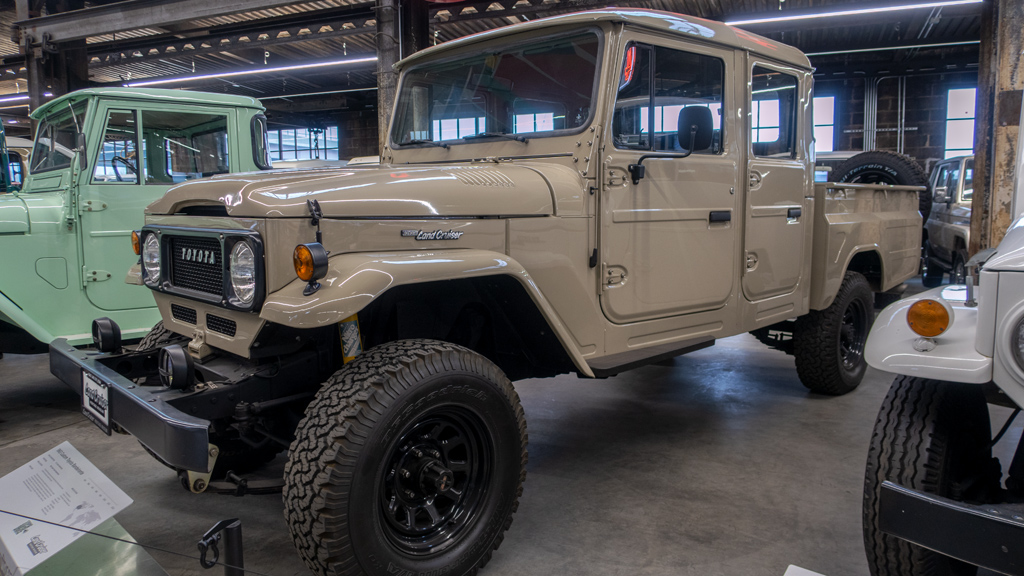
Of course, being a pickup truck fan, I had to post at least one photo of a pickup truck—this is a Bandeirante concept prototype that ultimately became the FJ Cruiser.

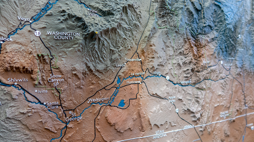
On the theme of the off-road potential of Land Cruisers, the museum had a very intricate and detailed topographical map of the state of Utah on display on one of the walls. I thought it was extremely well-built, so I snapped a photo of the southwest corner of Utah near St. George, my next destination after Salt Lake City.

If you don’t care at all about cars, this is absolutely not the museum for you. Admission was US$18.00, and someone who is not actually interested in Land Cruisers will probably stroll through in 20 minutes or less, and it won’t be worth the price to get in.

However, if you are a fan of trucks, SUVs, and/or off-roading, this museum is probably going to be a dream come true for you. I personally spent a few hours slowly going through every vehicle, reading almost every single vehicle’s story, and revisiting some aisles twice. There were also some videos play­ing in the ad­ven­ture section, and I stuck around watching decent portions of them to see the brutal expeditions that the trucks sitting directly in front of me had been on.

And there above is the final shot I took down the center of the museum from the entrance/exit.

I’m not really sure where this museum gets the funding to be able to afford all these Land Cruisers and cover the upkeep and maintenance for the fa­cil­i­ty, but I sure hope they can keep it going, because this was definitely a one-of-a-kind experience.


—§—


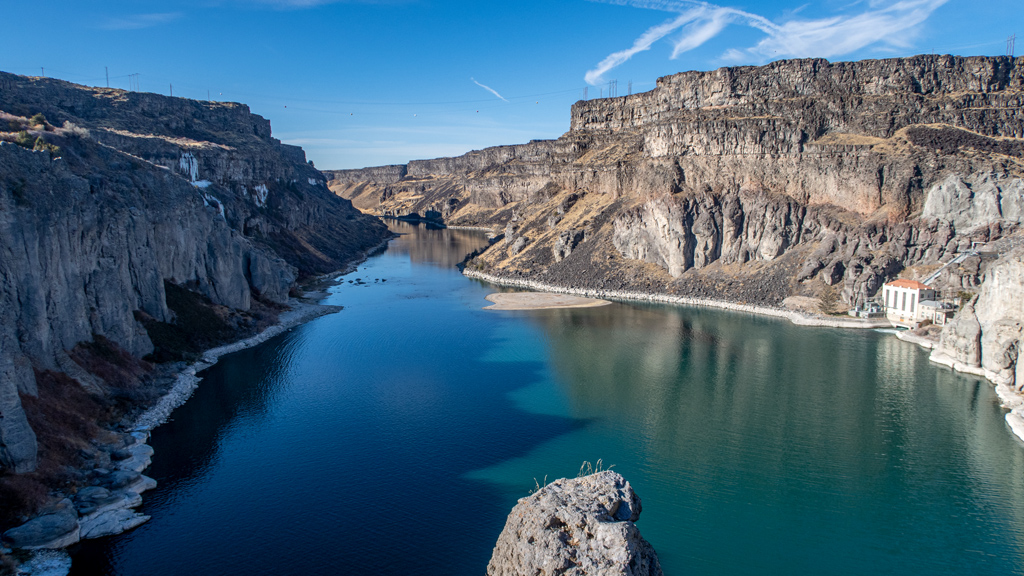
Hello, Shoshone Falls in Twin Falls, Idaho

On my way from Boise, Idaho to Utah, I made a quick stop part-way there in Twin Falls, Idaho for a few days.

This stop coincided with an eventful few days for my Corporate Op­er­a­tions Department at Tempo. On top of that, I wanted to play through the World of Warcraft Dragonflight pre-expansion patch con­tent be­fore re­lease day coming up (I don’t plan on binging and rushing through the new expansion right after it comes out, but I still want to experience the pre-patch storyline in its “To be continued…” state before that op­por­tu­ni­ty expires). And finally, it was also de­bil­i­tat­ing­ly cold outside most of the time.

The fact that my stay was relatively short, along with all these other rea­sons combined, meant that I only got to do one major tourist ac­tiv­i­ty in Twin Falls. I decided to pick the spot that Twin Falls is best known for: Shoshone Falls.

Back when I was still in Boise, I met someone who is originally from Twin Falls, and she claimed that Shoshone Falls can sometimes have wa­ter volume greater than Niagara Falls. That set my expectations pret­ty high, but I was also rational enough to realize that that’s prob­a­bly on­ly the case during the late spring when all the snow from the north is melt­ing and flowing down.

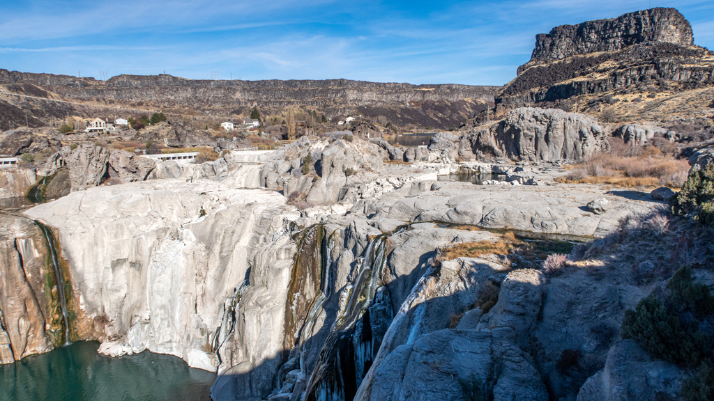
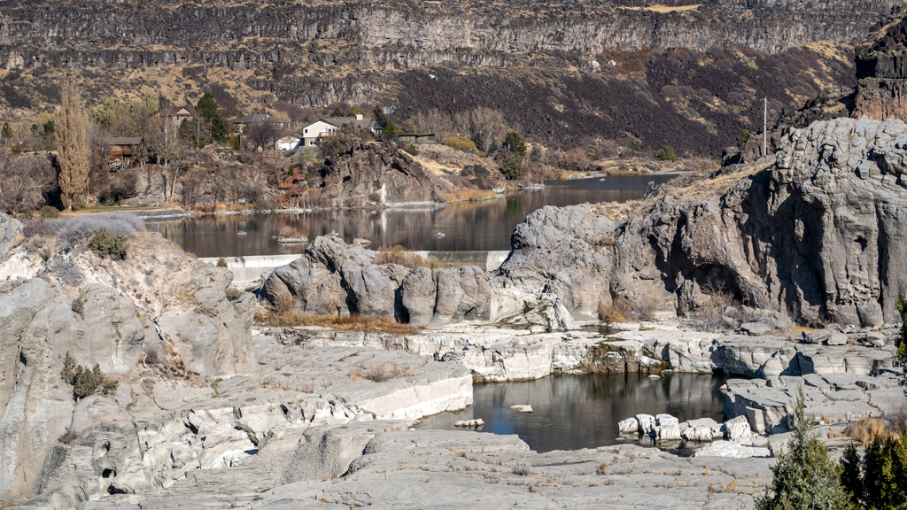
Needless to say, I was pret­ty disappointed at Shoshone Falls. The wa­ter­fall was a trickle at best. If it’s any consolation, at least I was able to en­ter for free, when otherwise there is usually a US$5.00 en­trance fee.

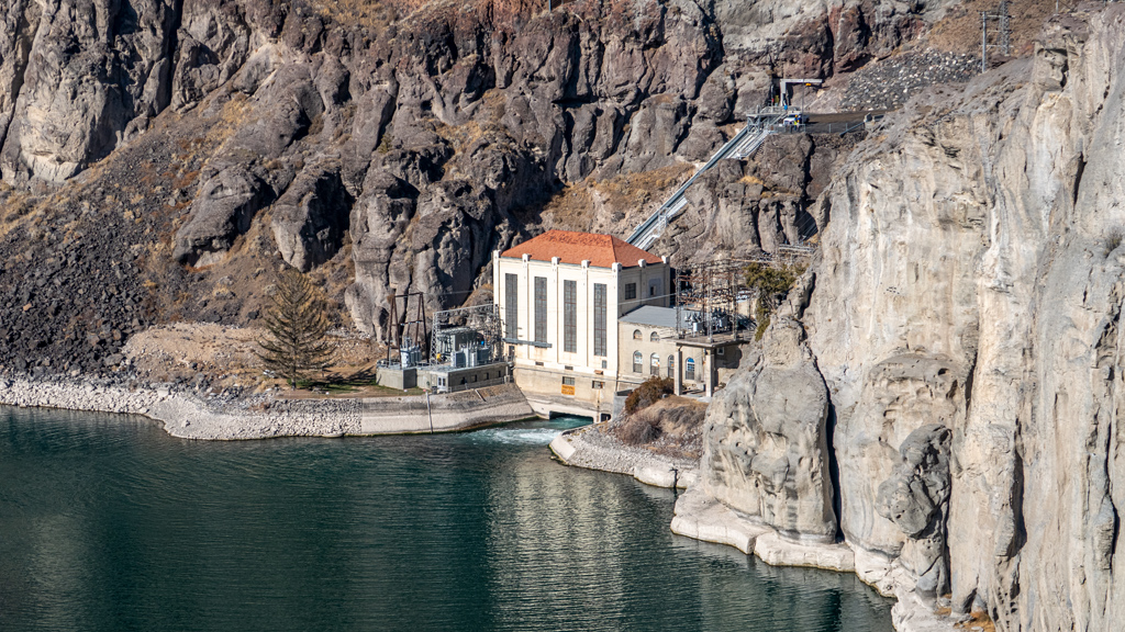
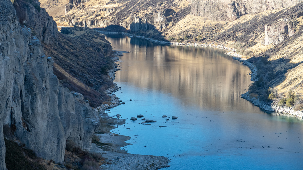
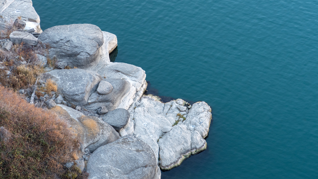
After observing from the main area, I made my way around to the side, where I found a short trail which led to a small clearing with nice views of the Snake River from a different angle.

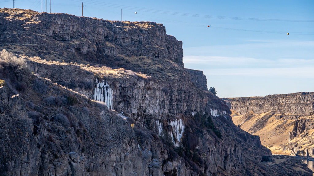
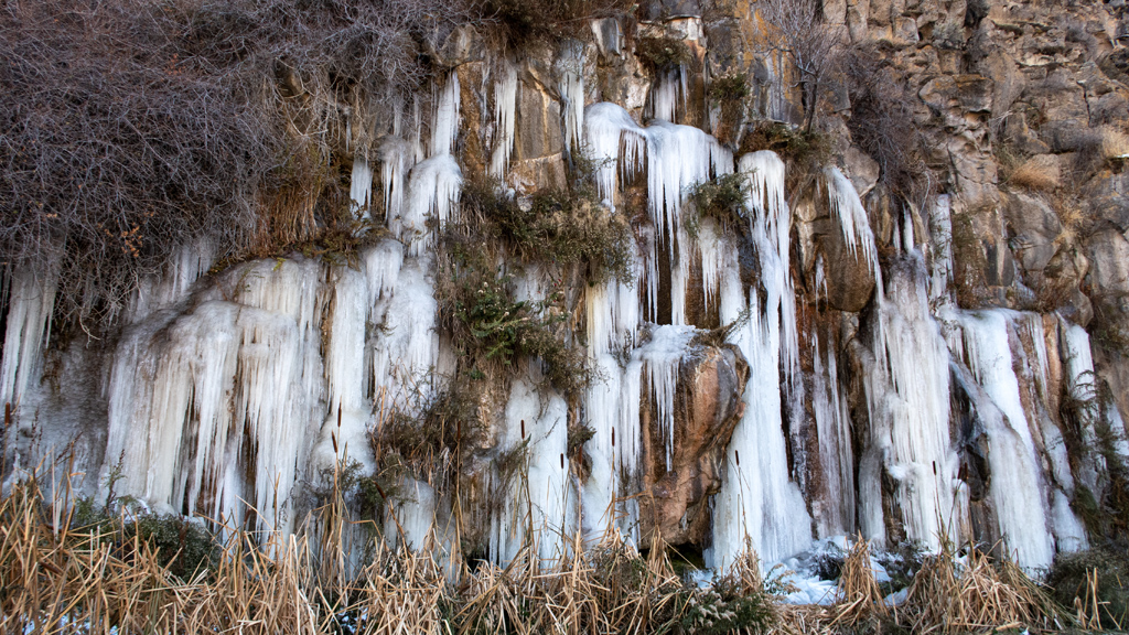
The most interesting part about this alternative angle is that it seemed like portions of waterfall were deep inside the rocky cliffsides, and where there were openings, the water splashed out enough that it created icicles.

After enjoying what I could of Shoshone Falls, I made my way back onto Champlin Road and drove up the grade. The cliffs hugging the side of this road had a similar situation as the bluffs pictured above, where a smaller waterfall blanketed the rocks with icicles.

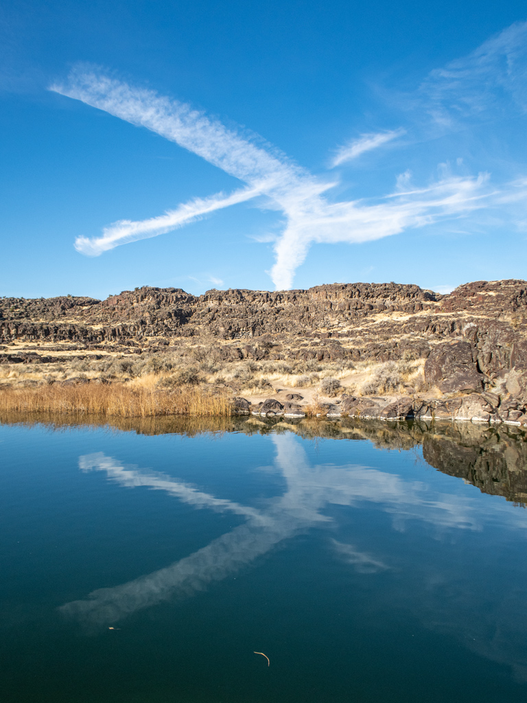
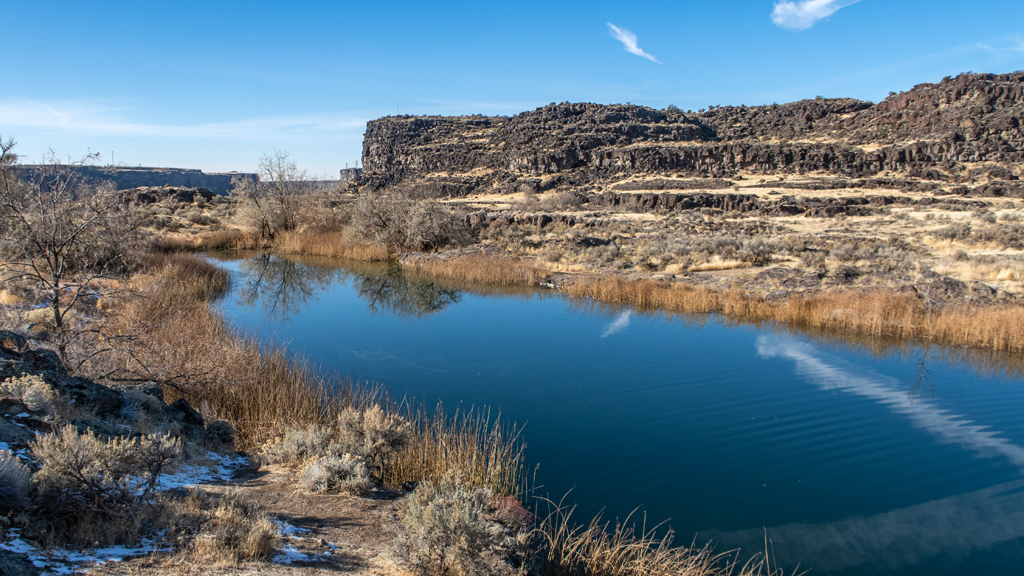
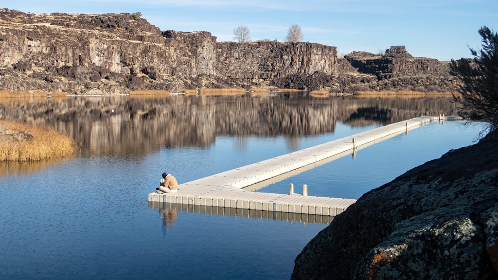
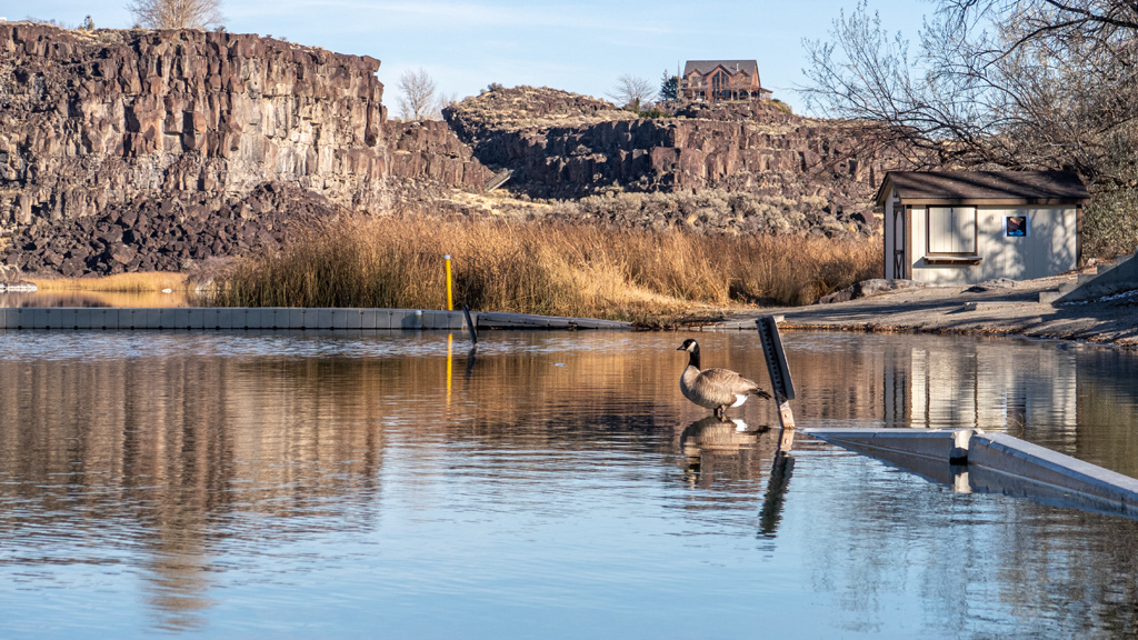
Wanting to see a bit more before leaving, I continued on East 3400 North eastbound to Dierkes Lake.

I like exploring the outdoors, and Twin Falls was conveniently located close to Interstate 84, so it was definitely worth it for me. However, if you’re planning a special trip to this area and want the best experience, it’s looking like late spring (or maybe even early summer) is going to be the optimal time to go for the most impressive sights.


—§—


Goodbye Boise, Idaho

After two weeks, my stay in Boise, Idaho comes to an end. Unfortunately, I lost a few days to getting food poisoning from eating lobster soup, and an­oth­er few days because I had a small work-related emergency come up that I needed to help resolve immediately, but I still got to go out and explore the cit­y a lot.

The hotel I stayed at was the Fairfield Inn & Suites by Marriott Boise West. It’s a newly-constructed hotel at Town Square, which the locals apparently call “the mall” (because apparently there is only one major mall in Boise). The location was extremely convenient, and I probably would’ve walked a­round the area some more if it wasn’t so cold. There were plenty of restaurants nearby so I could eat something different every day.

Like pretty much all new-generation Fairfield Inns, this hotel was perfectly to my liking. Everything was clean and modern, the desk was nice and large, the breakfast offering was decent, the hot coffee station in the lobby was available 24/7, there was convenient stair and side door access, parking was am­ple, and everything was simple and peaceful (though the walls were a bit thin, so during a few nights, I heard my next door neighbor snoring).

It will probably be a disappointment for people looking for a resort hotel while on vacation, but for a long-term traveler like me, I don’t think I could’ve asked for anything better.

On the day of my arrival, it was a bit rainy, but after I had brought all my stuff inside and set up my workstation, I was welcomed with a nice rainbow.
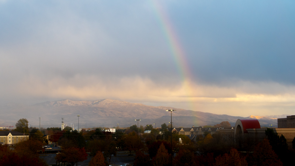
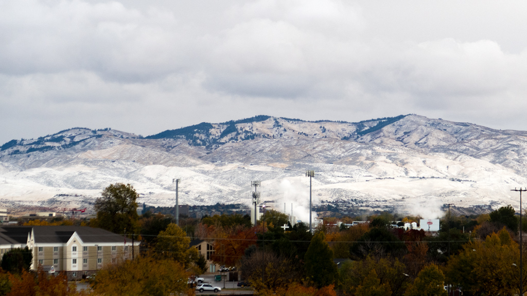
The day after that, there was some light snowfall. There wasn’t enough for it to accumulate too much on the ground beyond just a thin blanket on the grass, but it was enough to cover the mountains in white.
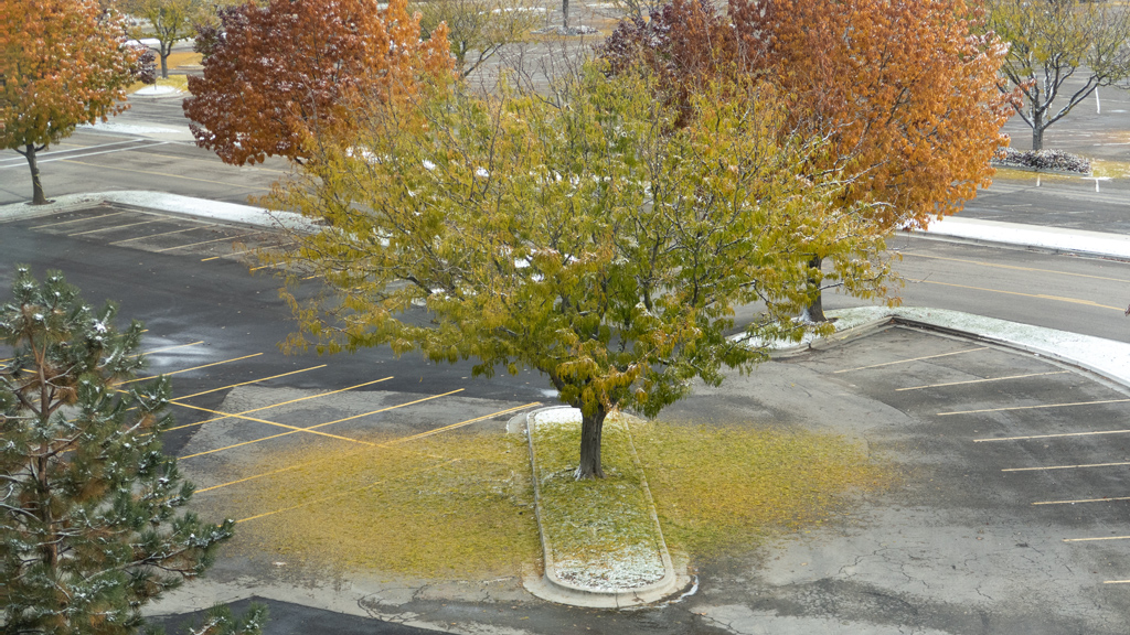
There was a particular tree that was visible from my hotel room window. It seems to have gotten extremely surprised by the snowfall… so much so, that it for­got to turn its leaves orange prior to dumping all of them onto the ground.
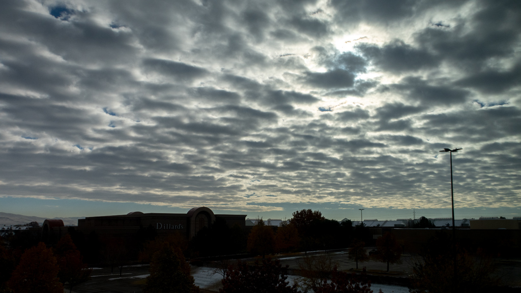
I don’t remember what the context was for this photo, but I imagine I took it because of how interesting the cloud coverage looked. This was during the middle of the day, and the sun was out bright, but the clouds were so thick that it almost felt like it was already the evening.
One of the places I visited that I didn’t write a blog post about was the Boise Art Museum. The reason it didn’t get its own standalone blog post, and is just being bundled into this round-up… is because photography was not permitted. If I had known this, I would’ve just spent the day going to the Idaho State Museum next door instead, but the front desk attendant didn’t tell me about the no-photography rule until after I had already purchased my ticket.

At first, the Boise Art Museum was incredibly underwhelming. There was a ton of neon art, but I wasn’t really able to understand the significance or im­por­tance of it. Shaped neon tube lights are mass-produced, so I’m not sure if I’m just desensitized to it, but it wasn’t particularly impressive. Another strange thing I noticed about the neon section was that some of the descriptions blatantly said that some of the items were purchased off eBay. This tech­ni­cal­ly means that the “art” aspect of it was the juxtaposition of the items, rather than the items themselves…? I wasn’t really able to pinpoint any­thing spe­cial about this exhibit.

After that, there were an insane number of sketches displayed everywhere—I’m talking about probably in the hundreds. They looked like rough drafts that came out of someone’s sketch book, and again, I wasn’t really able to understand why they were special or appealing. Later, I Googled the artist, Jacob Hashimoto; the art I saw pop up on Google Images were visually complex, multi-layered, and overall very awesome. This made me realize that this art museum probably didn’t have the funding to get Hashimoto’s full art pieces, but they still wanted to make an exhibit of his work, so instead, they just put up a ton of his sketches.

The middle section of the art museum was very traditional and just felt like a normal museum—not bad, but also not too revolutionary or inspiring.

Things got a bit better at the end. One of the final exhibits near the back was a recreated piece of Félix González-Torres’, a Cuban-American artist. One of the themes of his art was replenishment and audience participation.

The art museum’s messaging alongside this piece was that, during the COVID-19 pandemic, the community drifted apart due to the quarantines im­ple­mented to minimize the spread of the coronavirus, but now that things have returned to normal, it is time for people to come back together. One of the ways to do this is for visitors to interact with art pieces together. Titled “Untitled,” the art piece was an “endless supply” of individually-wrapped apple-flavored green candies that together form a shape, and visitors were permitted to take a piece of candy.

If you’re a huge fan of art museums, you may like the Boise Art Museum, but if you’re just a general tourist exploring Boise and don’t have unlimited time, I highly recommend visiting something else. It is also very unfortunate that they don’t permit personal photography, so you won’t be able to cap­ture memories and trigger them later in life when you look back at old pictures.

 
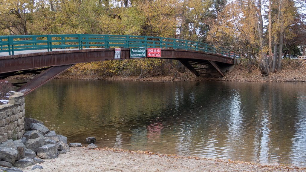
Another place I visited that I didn’t write a dedicated blog post about was Ann Morrison Park. I wouldn’t say there was anything particularly stunning about this park, but it was still nice. There were quite a few other people just going for walks or playing with their kids, and the park gave off family-friendly and community-bonding vibes.
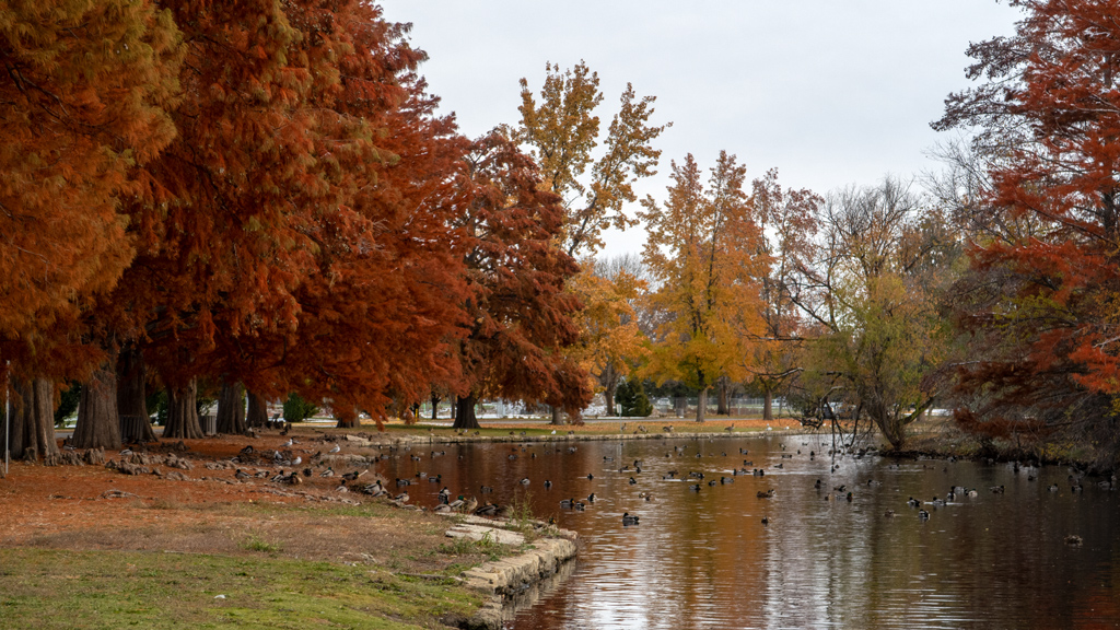
The park hugged the Boise River, so I walked a trail alongside the water.
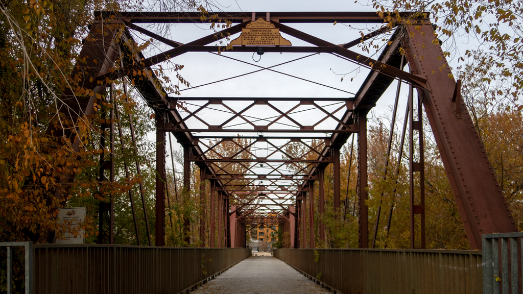
I kept walking down the unnamed trail towards Boise State University, and before entering the campus, I took the Ninth Street Bridge to the other side.
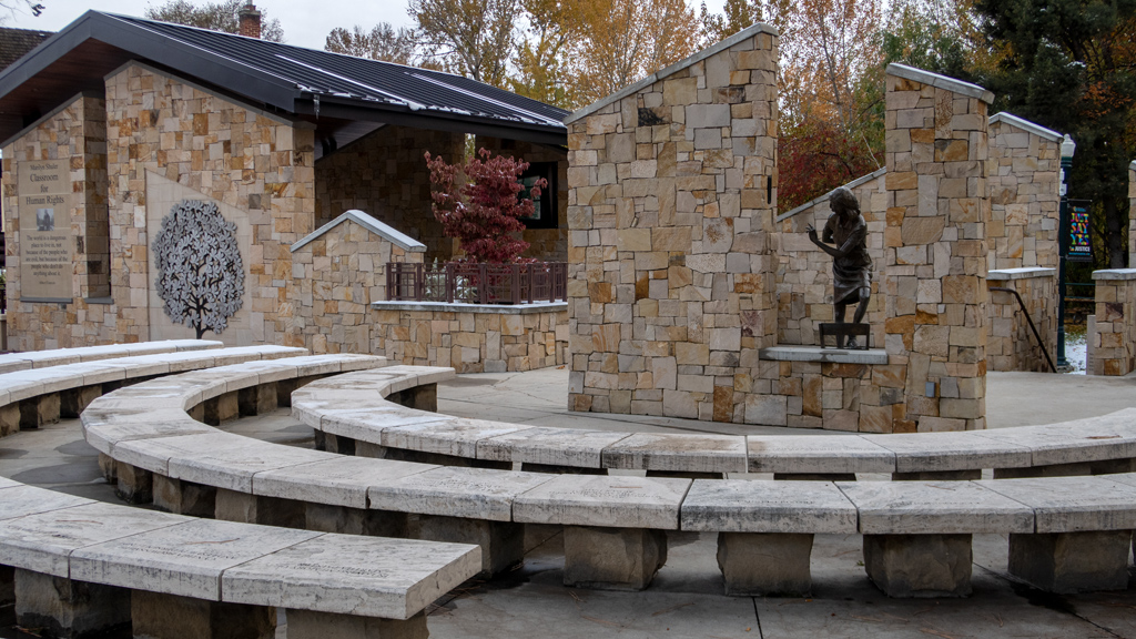
Directly on the other side was the Idaho Anne Frank Human Rights Memorial, which seemed to be either under construction or getting renovations. There were a few monuments that symbolized various aspects of human rights.
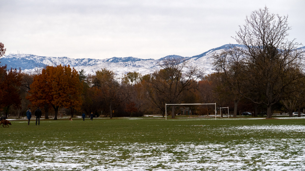
After walking around for a bit more, I made my way back to Ann Morrison Park.

Taking a brief intermission for a contextual story… Google Maps has a location sharing feature, and while I was staying long-term with one of my friends, I gave him access to my shared location. After I left, I kept his access permission intact so he could see where I was in my travels.

He finds this very amusing, and once in a while, he will text me saying “I hope you are enjoying…” with a particular business name, which usually hap­pens while I am driving and simply just happen to be passing in front of the building (as opposed to actually being at that place).

One day, he texted me excitedly telling me to look to my right at “Dog Island.” I, like usual, was just driving past the area, but later on, I looked it up and found the island he was talking about. While returning to my truck from Ann Morrison Park, I decided to make him happy and cut through To­geth­er Treasure Valley Dog Island.

Unfortunately, the island wasn’t a real island—it was just a peninsula—but the edge of the peninsula that was connected to the rest of the land was attached directly to a cliff, so it was practically an island. As for why it is called “Dog Island,” it is basically a massive no-leash dog park. You have to open two sets of sequential gates to get in, and they are secured using no-key locks that can only be opened using opposable thumbs, but once you’re in, you’re surrounded by dogs happily running around everywhere and having fun.
I enjoyed my stay in Boise. It isn’t quite as stunning as Canada or some parts of Montana, and it’s not as strange and quirky as where I usually live in Las Vegas, but it’s a solid, well-rounded city, and I can definitely see why so many people have been moving there lately.

There are a lot of interesting things to do (more so than other much bigger cities, it seems), and I feel like I could’ve continued to keep myself occupied with more tourist activities even if I had booked my stay to be an entire month instead of just two weeks. The culture also reminded me a bit of Montana in the sense that the people here were very friendly and had a “be self-sufficient, but also look out for each other” kind of attitude, but it also had a sprin­kle of medium-sized city culture as well.
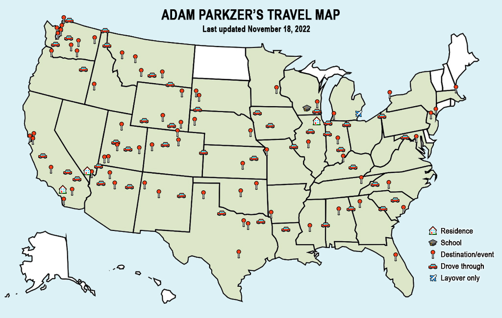
My stay in Boise doesn’t add another state to my travel map because I had already previously driven through the Idaho panhandle, but it does change I­da­ho from just a drive-through state to a destination state.

Since the last time I posted a copy of my travel map, I also made a few adjustments to Washington—I decided to treat the Seattle Metropolitan Area like I did the San Francisco Bay Area and add more destination pins, considering that a lot of the cities I stayed at were far-enough away from each other that it would sometimes take an hour or more to get back to the city of Seattle.

Next up is a quick stop in Twin Falls, Idaho, then onward to Utah.
 

—§—


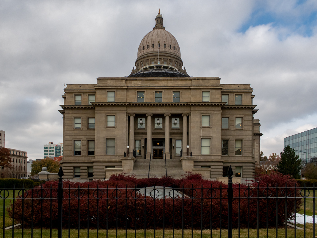
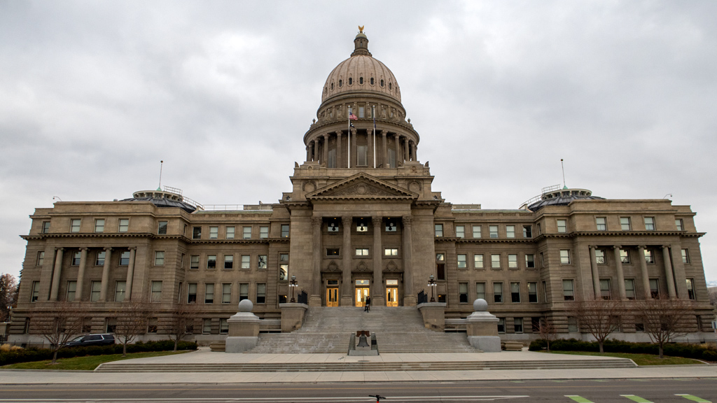
Hello, Idaho State Capitol Building in Boise

When deciding what cities to visit, I generally look at bigger cities with larger metropolitan areas that are easily accessible off major interstate highways. This ensures I have a wider selection of hotels to pick from, which means the competition keeps nightly rates low. It also increases the like­li­hood of there being plen­ty of good tourist activities for me to do during my stay.

Capitals aren’t necessarily the biggest or most attractive city in the state, so I don’t always end up visiting each state’s capital. Out of my road trip since June 2021, the only capital cities I’ve actually visited were Salt Lake City, Utah; Denver, Colorado; Springfield, Illinois; Indianapolis, Indiana; Atlanta, Georgia; Cheyenne, Wyoming; and Helena, Montana. Out of those seven, the only capitol building I’ve toured was in Springfield.

My current visit in Boise, Idaho is the eighth city to be added to that list, and also became the second capitol I toured. Interestingly, the Idaho State Cap­i­tol was one of the higher-rated attractions that I saw on travel websites, so I added it to my list of things to check out while in town.

I entered through the main entrance and was assisted by a canine officer who recommended I start my tour at the bottom-most floor. I climbed down the stairs and went to the visitor area, but the help desks and gift shop were empty, so I grabbed one of the self-tour booklets and started walking a­round.

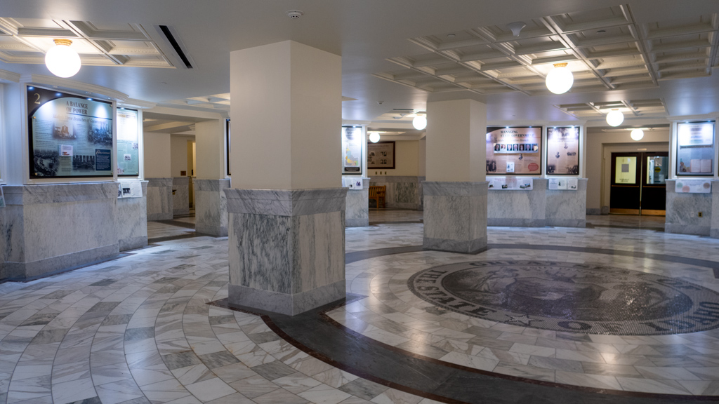
This was called the “garden level.” The center had a lot of posters and a few interactive placards that explained how the government works. It also showed diagrams of how the three branches of government keep each other in check to ensure a balance of power, as well as a timeline of how new bills are passed into law.

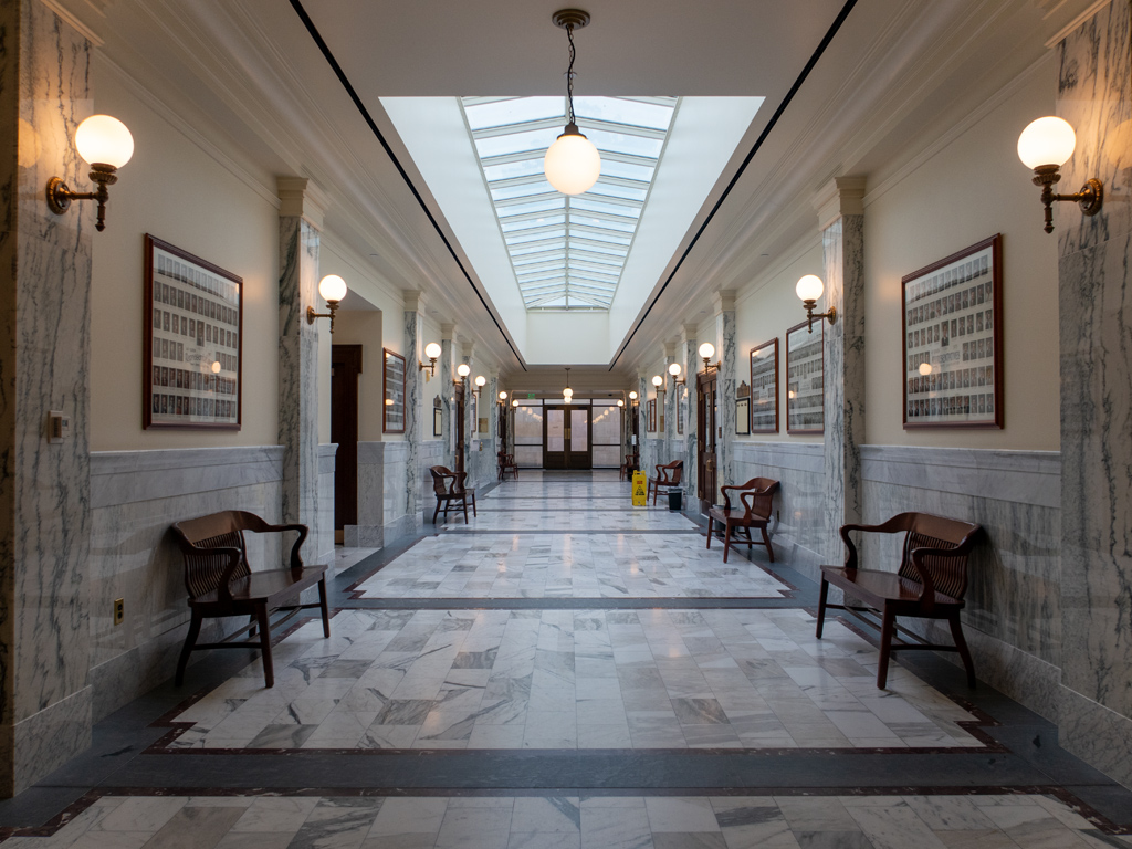
On either side of the informational exhibit were the Senate Wing and the House Wing. These hallways mostly just had rooms and offices, as well as pho­to­graphs of past Senate and House members.

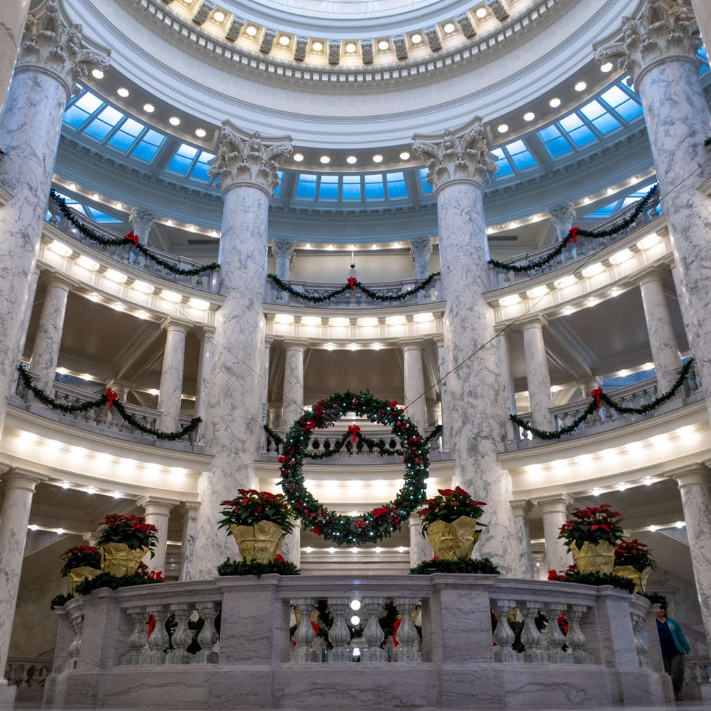
I continued upstairs to the rotunda and interior of the dome, which was nicely decorated for the holiday season.

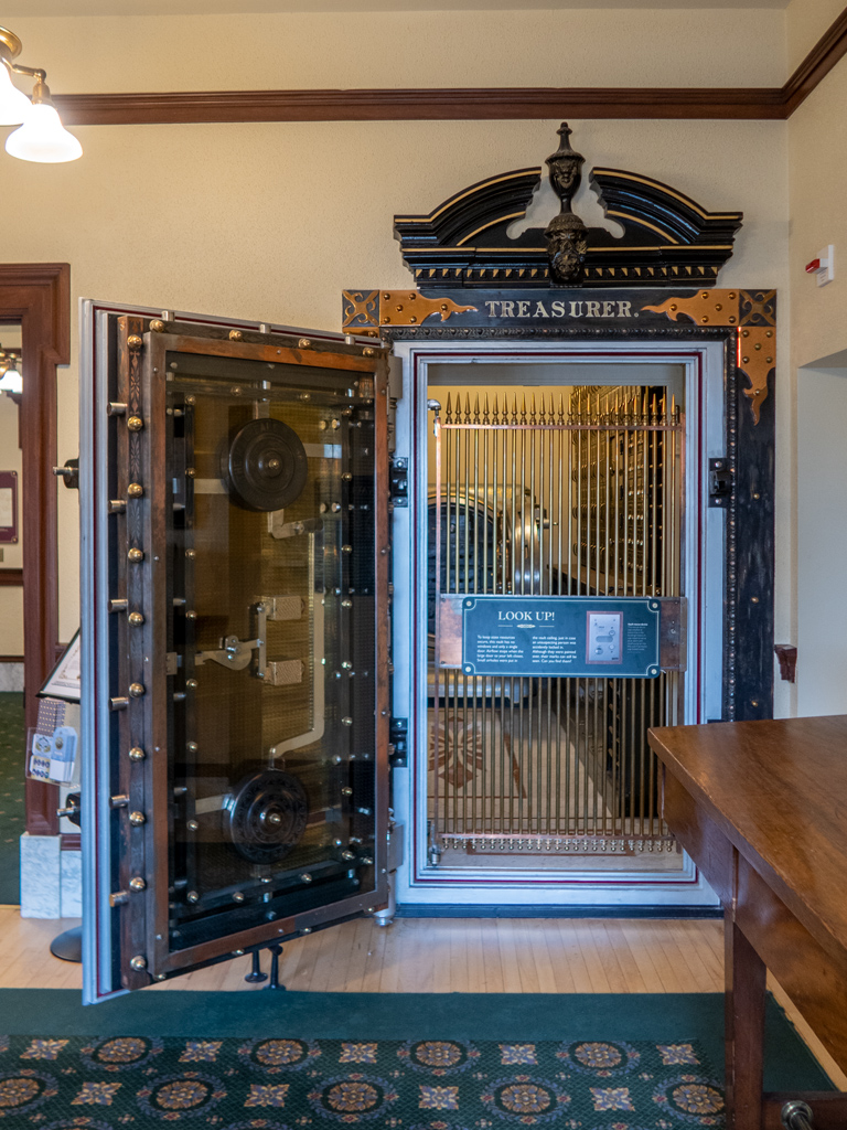
A majority of the first floor was occupied by the Legislative Services Offices, but the south­eastern corner housed the Treasurer’s Office. This area was turned into more of a museum exhibit area, and one of the vaults was left open so visitors could see how the doors work.

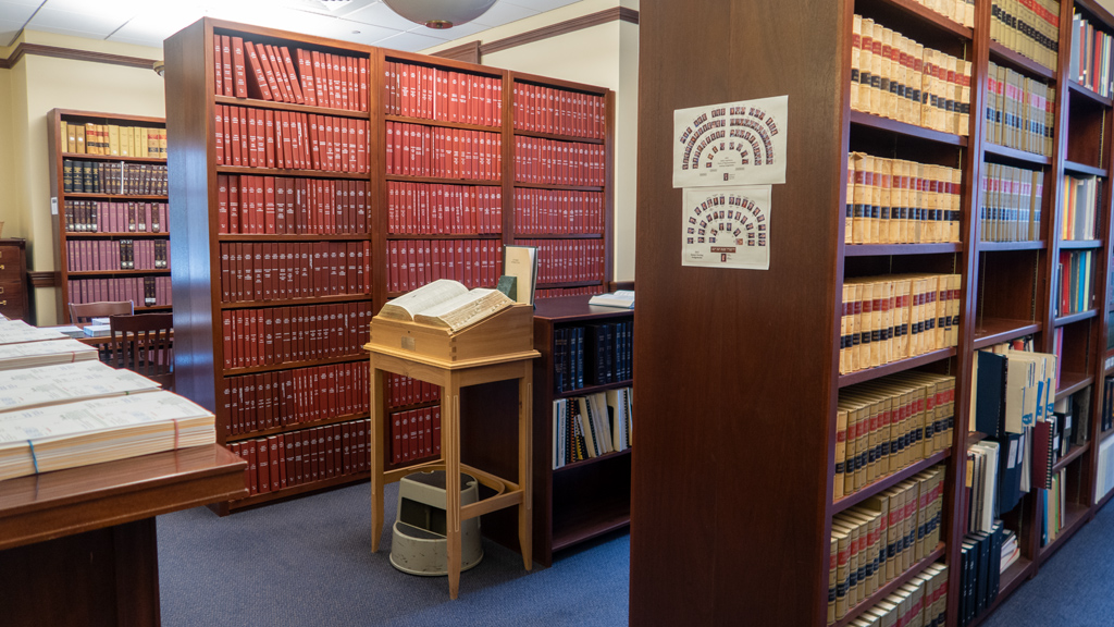
The Legislative Services Offices had sections for administration, research, and audits on the western and eastern wings. When I headed to the north, I came across an employee who asked if I was on a self-guided tour, then offered to show me around a bit in the ref­er­ence li­brar­y.

On the way into the library, we saw an antique elevator, which was apparently used to pri­vately transport judges directly to the Idaho Supreme Court Chamber two floors up.

The reference library was very interesting to me, and it brought back memories of when I used to work for the police department. Because I was so efficient, I frequently ran out of things to do during my working hours, and would end up going to other areas of my vil­lage’s government services to assist there. One of the tasks I did was digitizing a lot of the old papers in the Village Hall.

When I told the state employee this story, and about how all these books and archives reminded me of my first real job, he took me to the back room and showed me hand­written bills and meeting minutes that looked nearly identical to what I had been tasked to scan nearly a decade ago.

Something unusual I noticed, not only in the library but also throughout the capitol build­ing in general, was how much they seemed to trust the public. There was minimal security present, visitors were allowed to just wander and roam around, and the library had im­por­tant written pieces of history just laying around and accessible to anyone who happens to stumble in.

I spoke quite a bit with the various state employees working in and around the reference library; I shared a lot of anecdotes from my travels, and we talked in-depth about the differences in culture between a place like Boise and a busier major city in a place like California… though Boise is also very rapidly increasing in population.

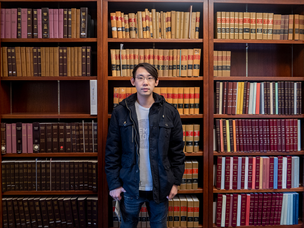
On my way out of the library and to the second floor, one of the employees offered to take a picture of me in front of the session law books from the late 1800s and throughout the 1900s, which is apparently something that is popular to do among new law school graduates.

Adam Parkzer standing in front of a shelf of legal books

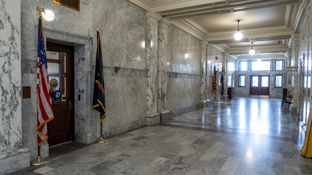
For the next part of my self-guided tour, I worked my way up to the Executive Branch floor, which had the offices of the Attorney General, Secretary of State, and Lieutenant Governor.

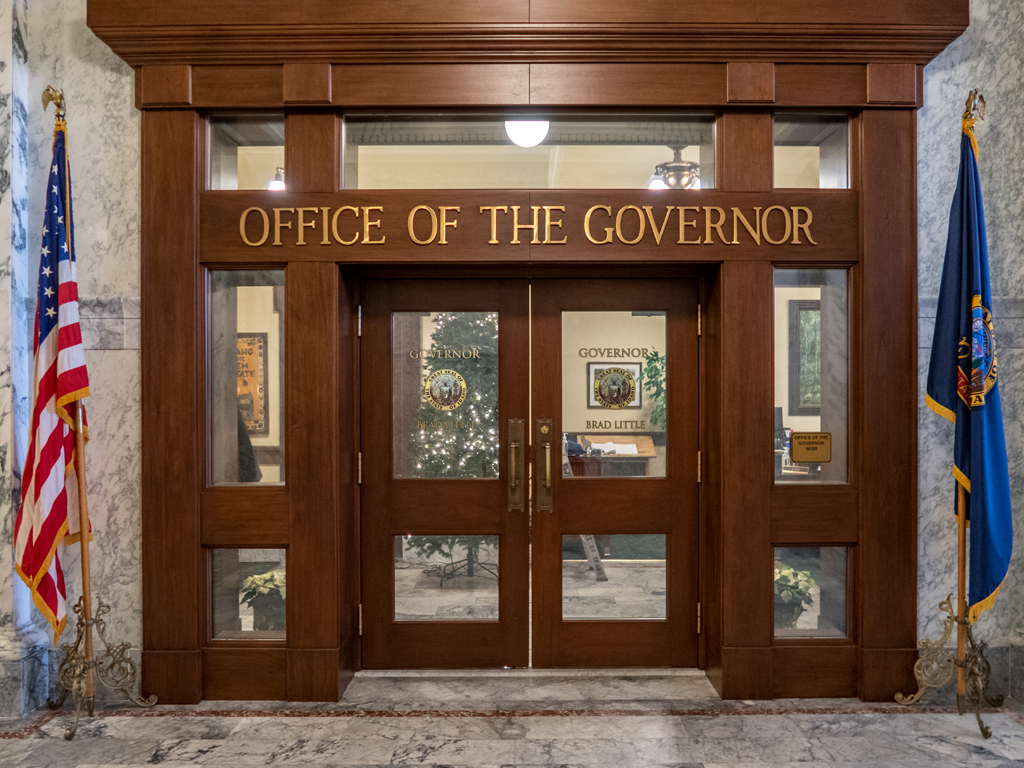
And of course, an Executive Branch floor wouldn’t be complete without the Governor and his support staff. The current governor of Idaho is Bradley Jay Little, who has been serving as the 33rd governor since January 2019. Prior to being the governor, he also served as the lieutenant governor and a mem­ber of the Idaho Senate as well.

Unfortunately, the third and fourth floors weren’t that interesting. The third floor had the Joint Finance-Appropriations Committee and the Senate and House Chambers, all of which were closed to the public. The fourth floor had public galleries from which you could look down on the chambers… but those were also closed.

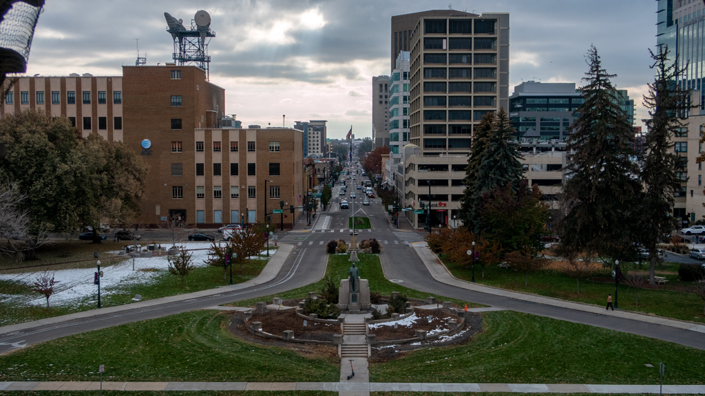
While on the fourth floor, I peeked out some windows from Statuary Hall towards the Frank Steunenberg Statue for a nice view straight down Capitol Boulevard.

I know I regularly make fun of the United States government because of how inefficient government agencies tend to be, and I usually don’t have too many positive things to say about government, but I thought this visit to the Idaho State Capitol was great. All the people I met were very pleasant and looked like they wanted to go out of their way to answer my questions, teach me something new, and make sure I enjoyed my stay in Boise.

Some of the staff did mention that, with the growth of Boise, access to some areas of the Capitol were being restricted from the general public (which I guess was already going into effect on the upper floors). If you’re interested in learning how the state of Idaho is run (or just want to get a general idea of the baseline structure of how any state government is run), I think now is a great time to do it—better sooner than later.

I was originally expecting this to be a quick half-hour stroll, but because of all the great conversations I was having with everyone, my visit ended up lasting a few hours.

Oh, the two people you see on the steps? The man was taking photos of the woman, who seemed to be an influencer posing for thirst traps. 🤦


—§—


Hello, Table Rock in Boise, Idaho

For my first hike in Boise, Idaho, I selected Table Rock. The trailhead was right next to the Old Idaho Penitentiary State Historic Site that I had just visited, so I headed back over there to the East End neighborhood.

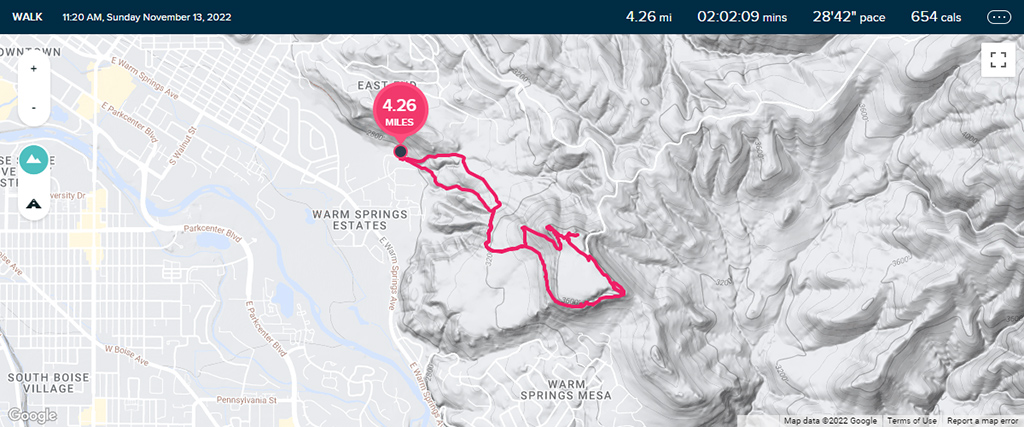
There are multiple paths leading up to Table Rock, so I decided to hike in a figure-8 so I could hit as many of the trails as possible. On the route up, I started at the Old Penitentiary Trailhead and worked my way up Old Penitentiary Trail. It was pretty muddy, but still manageable.

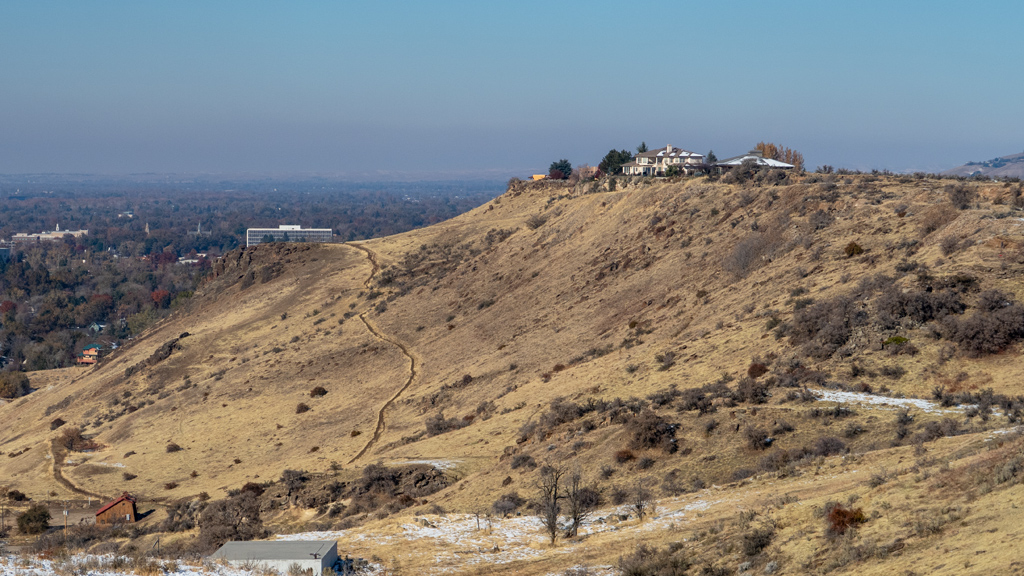
As I ascended in elevation and got closer to the Y-intersection with Table Rock Trail, there were some nice views towards the northwest and southwest.

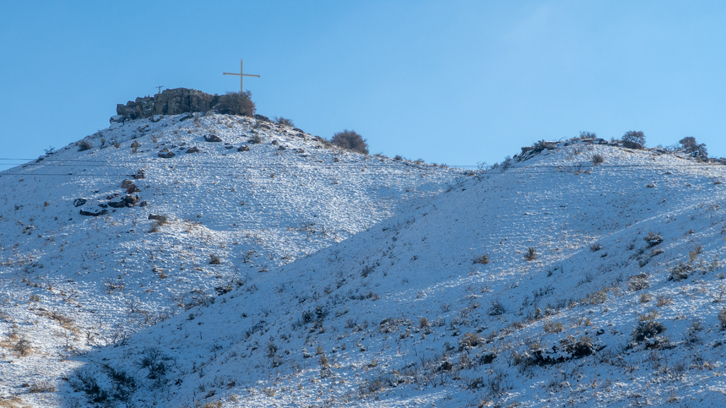
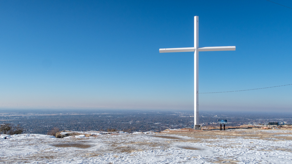
After passing the intersection of Table Rock Loop and continuing on Table Rock Trail, I made it up to the summit. At the top, there was a cross, as well as a placard explaining the story behind the fixture.

Apparently, it had originally been a source of controversy due to it being a religious symbol displayed on government land. Because the claims of the separation of church and state were valid, the Idaho State Land Board decided to auction off the land housing the symbol to a private party.

That wasn’t enough for some activists, as they perceived this to simply be a loophole solution, so they litigated. First they tried to block the auction, and then later tried to nullify the sale, but both attempts were not successful. Furthermore, around the same time, there was overwhelming public support for keeping the cross. Eventually, the activists gave up, because they realized this would just be an uphill battle.

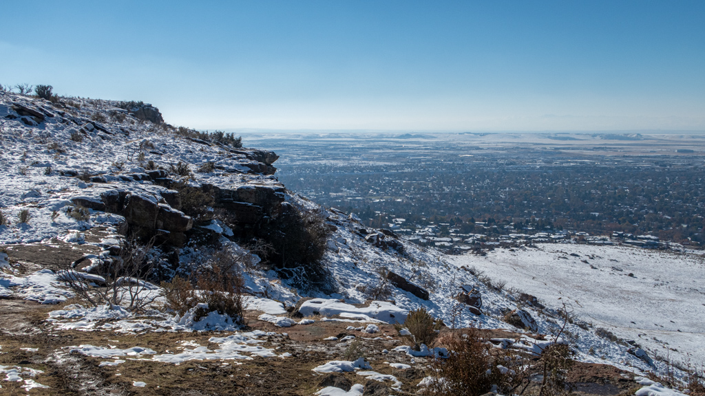
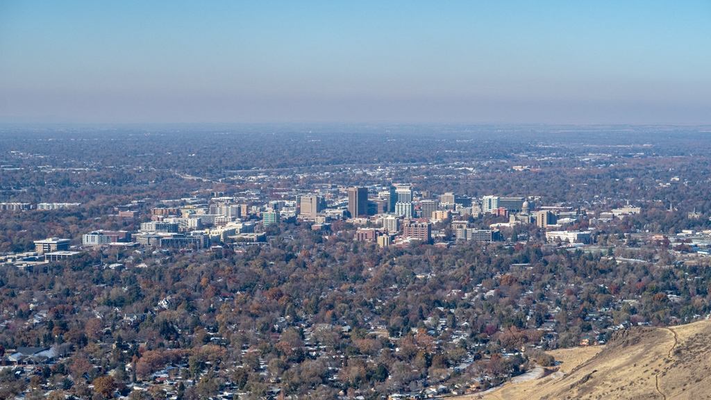
From the summit, there was a nice view of downtown Boise…

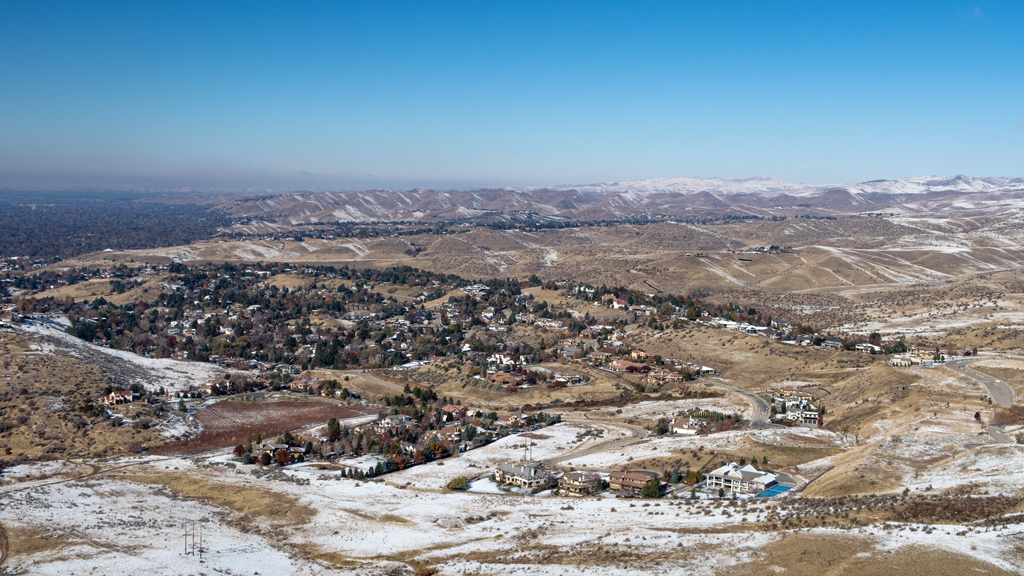
… as well as of the less-populated suburban areas.

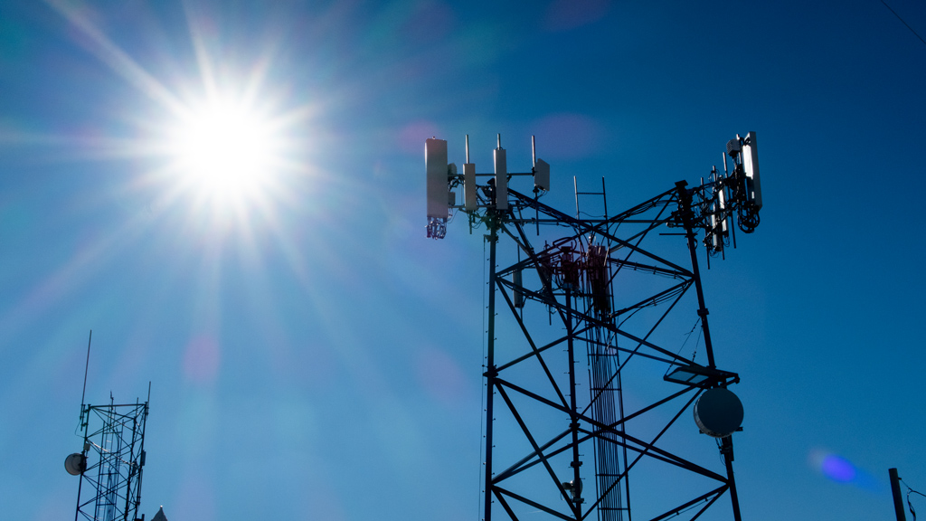
As I’ve come to see relatively frequently from hikes like this, Table Rock also had some radio towers at the top. I’m not an expert on communications equipment, but I think those towers with the white semi-cylinders might be 5G transmitters.

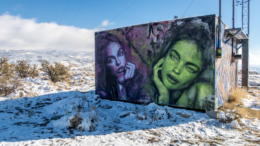
Also at the top, there was quite a bit of graffiti on the structures surrounding the radio towers. A lot of the graffiti were just markings and symbols, but there were also some nice mural art pieces as well.

I kept walking past everything and made my way to a clearing that showed a nice view of the scattered homes and mountains towards the northeast.

After taking in all the sights, I started walking southeast on East Table Rock Road, which seemed like it was a road that had originally been designed for motor vehicle traffic but has since been blocked off. At first, I didn’t see where the road connected back onto Table Rock Loop, so I walked over a barrier and kept proceeding on the road… until I saw signs stating that I was entering a federally-regulated mine and that trespassing was prohibited.

After retracing my steps, I found the proper walking trail and continued through the most treacherous part of my hike. Because this side of the mountain was shaded from the sun, there was still a lot of snow and ice obscuring and covering the trail. That, mixed with a lot of elevation change in a short dis­tance and cliffs with sharp drops, and I had to tread carefully as to not go plummeting to my death.

After managing to complete that portion alive, I connected onto Table Rock Quarry Trail, which was my favorite part of the hike. As you’d expect from the word “quarry” in the name of the trail, this area was very rocky and terraneous. There were huge rock formations engulfing the northern side of the path, making for a very interesting experience.

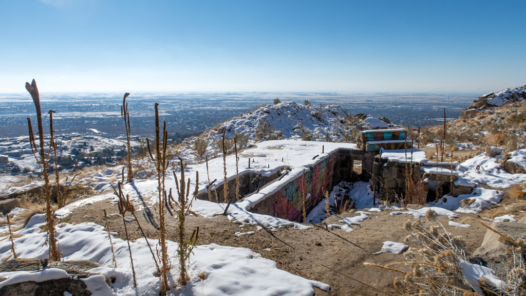
On this path, I also came across a small structure nestled inside the ground. I’m not sure what it is or how it got there, but I decided it was interesting enough to snap a photo.

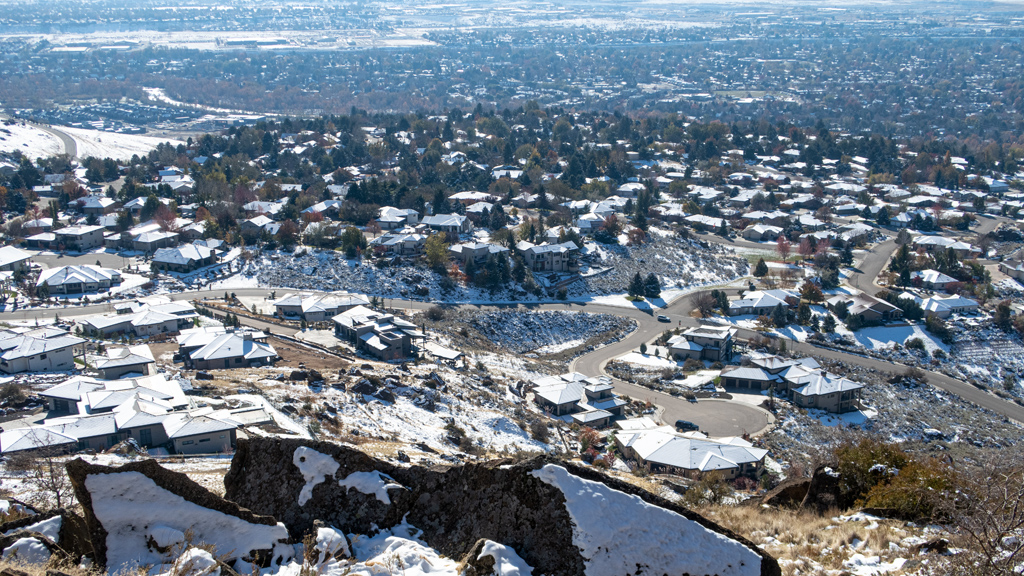
On the south side, there were unobstructed views of Warm Springs Mesa, which appeared to be an affluent neighborhood off East Warm Springs Av­e­nue.

On my way down, I continued descending on Table Rock Trail instead of going on Old Penitentiary Trail at the Y-intersection like when I came up.

Overall, my hike was 4.26 miles (6.86 kilometers) and had an elevation gain of about 880 feet (268 meters).

While I was ascending, the weather was in an awkward spot where I was sweating under my winter coat, but it was still too cold and windy to take it off (though this problem went away after I had reached the summit and while I was descending). If you’re in Boise and are fit enough for this hike, I definitely recommend it—I found it to be very refreshing, and because of the shape of Table Rock, it allows for sweeping, panoramic views in all di­rec­tions if you walk around in a circle.


—§—