Hello, Sacajawea Historical State Park in Pasco, Washington

I’m not really much of a holiday person, so I didn’t really have much of an interest in doing anything special for Halloween, but when I was browsing Google Maps, I noticed a place called “Haunted Forest at Sacajawea State Park.” I figured that, even if I don’t want to go out of my way to celebrate Halloween, this is still a good spot to stop by. It’s in a state park so I can go hiking there, and I already have a Discover Pass for Washington State Parks so I can go for free and get more value out of my purchase prior to departing Washington.

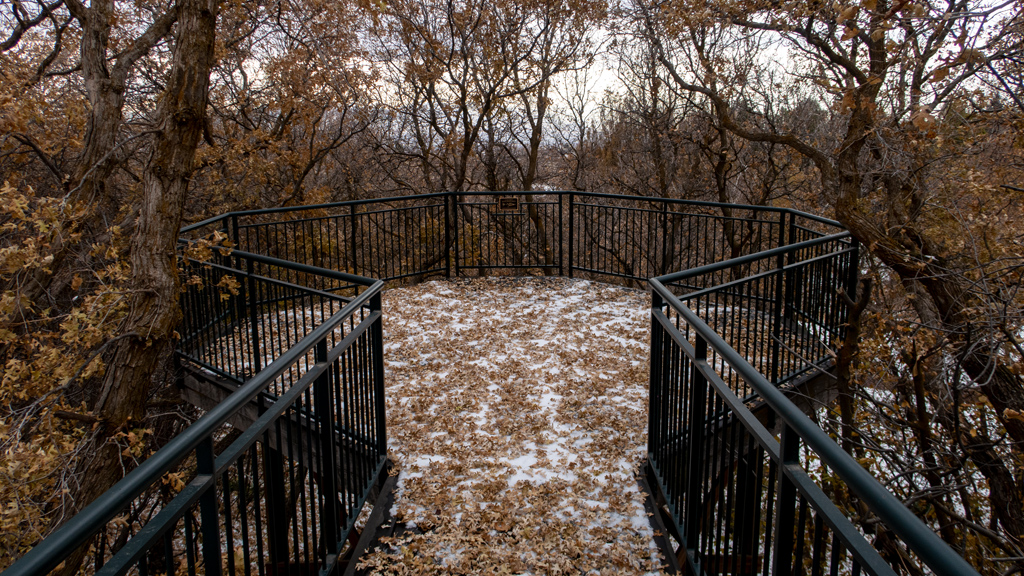
When I arrived and drove deeper into the state park to the parking lot, I went through a lot of autumn foliage. Having spent most of my autumns from the past few years in areas that don’t have trees that undergo the autumn leaf color phenomenon (yes, I just looked it up, and that is apparently literally the scientific name for it), it was nostalgic seeing so many orange leaves everywhere like I did when I used to live in Illinois and Wisconsin.

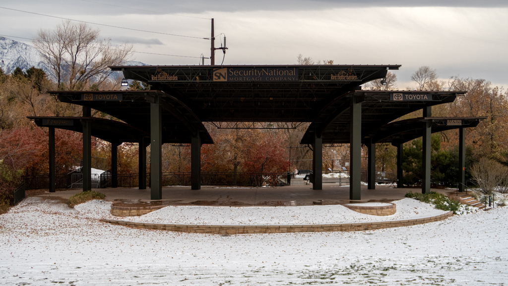
From the parking lot, I walked east towards a structure I saw in the distance. It ended up just being a sheltered picnic area.
I followed a path behind the picnic area and walked alongside the shoreline. Far in the distance, I saw a bridge over the Columbia River with train tracks that connected Finley to Burbank.

Farther down south, I saw an opening that let me get very close to the Snake River, so I climbed all the way down to snap a photo from a different angle.

After making my way back up, I saw another building, which I found out was the Sacajawea State Park Interpretive Center. It was a fairly traditional mu­se­um with some relics on display and a lot of text accompanying them. There was no extra fee for admission—it was included in my Discover Pass.

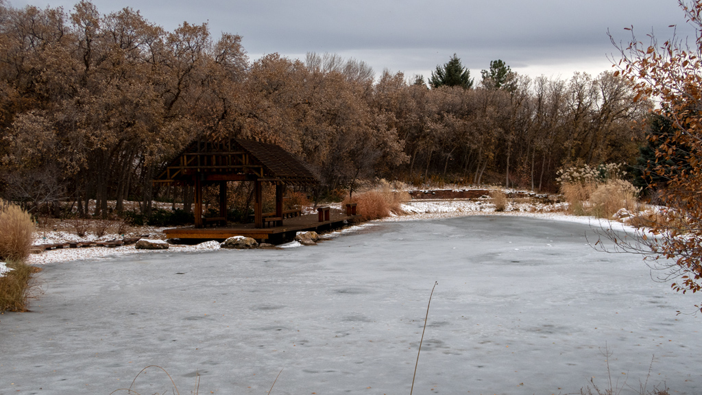
It was now time to find the Haunted Forest. After leaving the Interpretive Center, I kept walking north past the parking lot and found a trail that led first to a smaller pond that connected into the Snake River…

… and then a couple of tipis that were untented and just had the wooden sticks.

From here, the path continued further north, but the Haunted Forest was to the west. I looked around trying to find out how to get to the Haunted For­est, but all I could see was sparse vegetation and an empty field. At this point, I realized that I had probably made a mistake—there wasn’t an actual haunt­ed forest there, but rather, it was just a special event. Upon taking a second look at the Google Maps reviews, I realized that it might have been an annual seasonal event that has since been canceled as a result of the COVID-19 pandemic and hasn’t returned yet.

I probably would’ve been disappointed if I had come here just for the haunted forest, but luckily, I was enjoying my walk, so I continued on the trail. In the northeastern part of the path prior to the loop back around to the west, there was a clearing where I again was able to climb very close to the Snake River and take a nice photo of another train track bridge, this time connecting Pasco to Burbank.

As I looped around the bend and made my way across the northern side of the trail, there was a point where I originally snapped a photo and didn’t think much of it at first, but after I saw it again on my computer, I liked its aesthetic. It is a row of power lines extending into the distance with a faint row of windmills dotting the horizon.

This northern stretch of the trail was a lot more rugged and started to get a little bit overgrown. It was also an amusing sight to see when I came across what appeared to be mounds upon mounds of tumbleweed that I imagine had somehow rolled their way onto the side of this foot path and gotten lodged among the trees.

Eventually, the hiking trail ended and connected back onto Sacajawea Park Road, the auto road leading from U.S. Route 12 all the way to the parking lot. I walked the final semi-circle on the rocky shoulder of the road, and at one point near an intersection with a bike path, I was able to get somewhat of a view of Indian Island.

Eventually, I made my way back to the parking lot.

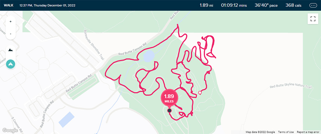
In total, my GPS tracker said my walk was 2.68 miles (4.31 kilometers), though I am guessing that it might be marginally higher than that because I left it going while I was walking around the museum and it tends not to capture movement as accurately when I am inside a building.

I wouldn’t say this state park is anywhere near impressive, especially if you’re not going for boating or picnicking, but if you already have a Discover Pass and don’t have to pay the $10 admission fee, then it’s still a nice place to go for a walk. Even though I went on a Sunday, it was still pretty empty, and most of the few other people who I saw around were also just going for leisurely walks with their families and/or pets.


—§—


Hello, Manhattan Project National Historical Park, B Reactor in Hanford, Washington

Apart from its wine, another thing that the Tri-Cities area is known for (at least for tourists) is Richland’s involvement in the Manhattan Project via the Han­ford Site. While in the area, I decided to book a tour of the B Reactor to learn more about the nuclear bombs used in World War II.

Surprisingly, the tour was free. I showed up at the visitor center at my designated tour time slot and was greeted by a docent who showed us an in­tro­duc­to­ry video and walked through some of the rules with us. Afterwards, the group and I loaded onto a bus (a nicer one with individual chairs in a 2-2 seating configuration, and not bench seats like a school bus) and took a 45-minute ride to the B Reactor.

Upon arrival, we were taken directly to the actual reactor.

After everyone got seated, another docent gave us a brief overview of the Manhattan Project and explained the logistics how the reactor worked and what steps the staff had to take to remain safe from radiation.

If I remember correctly, the docent informed us that there were 2,004 process tubes in the reactor. At first, the plan was to build it with only about a thousand, but on the advice of some engineers, the number of tubes was increased as a safety measure. This ended up being a very wise decision, as there were some unexpected chemical imbalances in the reactor that required more fuel to be inserted, so the excess process tubes were immediately put to good use upon operation.

Displayed on some tables nearby the reactor were some equipment and accessories that were used during the operation of the reactor. For example, there were some fuel tubes that were inserted into the reactor, off-set between two spacer tubes each.

Around the corner was the exhaust fan hallway, which contained four exhaust fans—two steam-powered and two electric.

Originally, this hallway was split into individual “pods” for each of the fans, and the only way to get from one room to the other was around a curvy bend—the architecture was constructed this way because the radiation traveled in straight lines, so if one of the fans were to malfunction, the radiation could be contained in one of the rooms. Since then, archways were excavated into the concrete walls to create the hallway.

Next, I visited the valve pit, which was responsible for passing treated water through process tubes. The docent had a small presentation in this area, and he explained that, until not too long ago, this room was annually audited as part of a peace agreement. The way the room would be checked to ensure the facility was no longer operational was to verify that the tubes did not show signs of having been recently wet.

I don’t quite recall exactly where this photo was from; I believe it might have been from a hallway near the electric equipment room.

Around the corner was the accumulator room, which contained, as you may have guessed, accumulators. They served as a back-up system for inserting hor­i­zon­tal control rods into the reactor in the event of a power failure. There was a mirror between the accumulators that was strategically angled so you could see the inside of the accumulators from the ground; they contained a lot of small rocks.

This was one of the unlabeled rooms right outside the accumulator room, which appeared to have some telecommunications equipment, tools, and in­stru­ments on display.

I eventually made my way over to the secondary “main attraction” (behind the reactor itself), which was the control room.

After thoroughly exploring the control room, I continued my way down the hallway to the fuel storage basin. This area was blocked from public access due to contamination, but there was a viewing area behind some thick glass where we could see where irradiated fuel was stored prior to being shipped to the 200 Area, also known as the Central Plateau.

Outside, there was a train on display. The docent did not specify what this was for, but just from the fact that it is on display at the B Reactor, I imagine this was one of the trains used to transport fuel and materials to and from the reactor.

I talked about this more in-depth in previous blog posts when I started visiting museums a lot more a year and a half ago when I completed the first por­tion of my road trip, but museums like this have played a very large role in lessening my dislike of the topic of history. Throughout all my academic years as a student, history was my most hated subject because the way it is taught in the United States is passive and makes everything appear in­con­se­quen­tial.

Now that I’m actually seeing this all first-hand, I’m able to conceptualize and internalize what happened. Additionally, the docents here were former employees of the Manhattan Project at Hanford, they are lifelong residents of the Tri-Cities area, they are still taking an active role in the clean-up proc­ess, and it’s clear that they truly care about helping people understand the importance of this history.

These docents demonstrated a stark difference from the history teachers I had, especially in high school, where it was a recurring theme for them to just lecture at me out of a textbook. They only cared about the process (i.e., saying that they showed up for class so they can collect their paycheck), rather than caring about the results when it came to the students.

I thought this tour of the B Reactor was amazing, and I am astonished that it was free. Based on quality and the resources they have to put in for trans­por­ta­tion and staffing, they could justify charging ~US$30 for this, and even then, it would still be an amazing deal.

I think the timeframe allotted for self-exploration was a little short, and it was mainly geared towards the casual visitor. If you are an enthusiast or end up getting very interested in the topic, this is absolutely a tour worth attending twice.
 

—§—


Hello, Badger Mountain Centennial Preserve in Richland, Washington

After digging around on Google Maps and All Trails, I noticed that Tri-Cities doesn’t really seem like the best place to go hiking, as the area appears to be relatively flat. However, I did come across Badger Mountain, part of the Yakima Fold Belt that was created through tectonic compression.

I decided to start my hike at the Westgate Trailhead, located on 210 Private Road off of Dallas Road, and right near the intersection of Interstates 82 and 182. I got on Skyline Trail and started zig-zagging my way up the mountain.

Once I got past the point where Skyline Trail crosses over 210 Private Road, I already started seeing some pretty nice views of South Richland.

As I kept climbing, I saw a rock labeled “Lake Lewis.” I looked around but there was clearly no lake, so I snapped a photo of the marker to do some re­search later.

I found out that Lake Lewis was a temporary lake that people suspect existed around 13,000 to 15,000 years ago which was caused by the cat­a­clys­mic Missoula floods. Based on evidence found in the Pacific Northwest, it is believed that the lake reached elevations of 1,250 feet. That means, during the floods, this entire area was engulfed in water as high as this marker rock.

Badger Mountain didn’t seem quite lively or colorful, but I did see this lone plant with purple flowers on my way up, so I snapped a photo.

Continuing higher, Skyline Trail crossed back over 210 Private Road and went on the southern side of the mountain, opening up views to the un­de­vel­oped land and some of the new homes built on either sides of Ava Way and Trowbridge Boulevard off Dallas Road.

As I approached the summit, I saw a cluster of radio towers.

When I did a loop around the radio towers and approached the intersection of Skyline Trail and Canyon Trail, I was able to see sweeping views of Richland, Kennewick, Pasco, and even as far as the edge of Burbank on the other side of the Columbia River.

As I circled around and prepared for my descent, there were a couple other radio towers away from the original cluster that I had seen.

While I was at the summit, it began drizzling rain, so I decided to take a quicker route back down—instead of retracing my steps on the winding Skyline Trail, I just took 210 Private Road straight down the middle. As I got closer to the bottom, I was able to get some nice views of what I believe is the Goose Ridge Estate Vineyard and Winery (though I may be disoriented and it might actually be one of the neighboring plots of land instead).
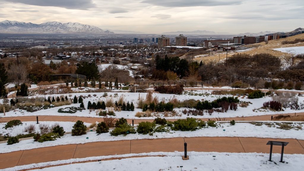
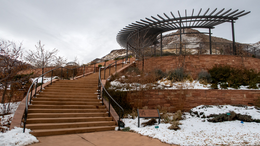
Eventually, I made it back down to the parking lot without getting too wet and avoided getting hit by lightning.

Overall, my hike was a little bit over 3½ miles (or just a little under 5¾ kilometers) in distance and approximately 700 feet (or about 212 meters) in el­e­va­tion gain.


—§—


Hello, Columbia River Park in Kennewick, Washington

After my short stop in Yakima, I made my way over to Tri-Cities, Washington, a metropolitan area consisting of Kennewick, Pasco, and Richland. Behind Seattle and Spokane, Tri-Cities is the third-largest metropolitan area in the state of Washington.

Upon arriving, I nearly immediately noticed a difference from my previous destination. I expressed my dissatisfaction with Yakima’s poor street plan­ning, but I haven’t run into any issues of the sort in Tri-Cities.

In fact, I’d say that Tri-Cities is nearly the opposite—they are very future-accommodating, and even in areas where there isn’t much around right now, the roads are robustly built and organized in a way that it can accommodate large spikes of population and traffic through appropriate insertions of turn lanes, one-way lanes, and stop light intervals.

For my first activity in Tri-Cities, I decided to keep it simple and go for a walk at Columbia River Park. The weather looked like it was going to rain, but something I learned from visiting the Seattle Metropolitan Area is that I can’t sit around and wait forever for the weather to be nice, because that’s not exactly a feasible thing to do in Washington without just running out of time.

After taking exit 42 off Washington State Route 240 and turning right onto Columbia Park Trail, I parked in the central lot just west of the Playground of Dreams then walked west to the Regional Veterans Memorial.

Just to the north was the Sacajawea Heritage Trail, so I took that east along the Columbia River.

There weren’t too many wild animals because this part is fairly inland in the center of Tri-Cities, but I did see quite a few geese, seagulls, and ducks.

After heading as far east as I could on the trail, I made it to the hydro pits and the Bernie Little Memorial Tree. There was a small pedestrian bridge that led me over to the boat launch, from which I had a nice view of Washington State Route 395, better known as Pioneer Memorial Bridge.

Continuing southeast, I made my way over to the Columbia Park Pond. There was a little peninsula and another pedestrian bridge, so I was able to see a few different angles of the various sections of the pond.

Nearly completing a full loop, my final stop was at the Old Veterans Memorial.

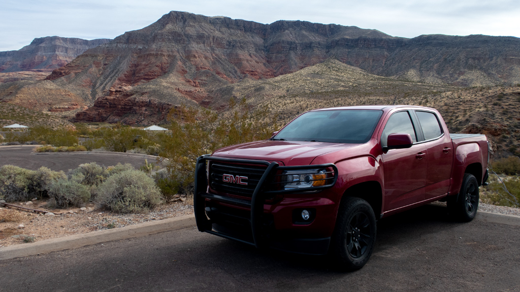
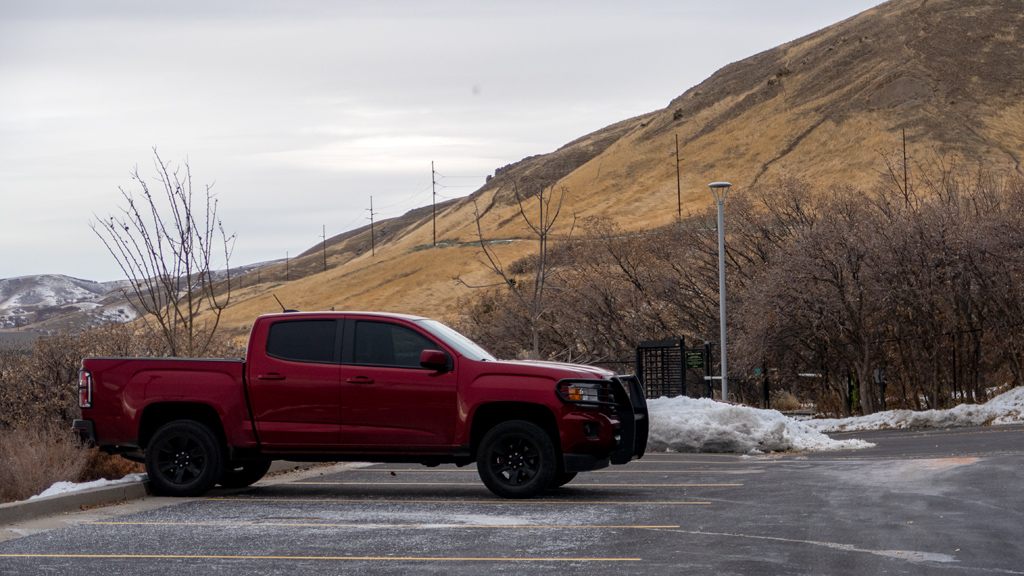
I haven’t posted a photo of my truck for a while, but I’m still driving the same vehicle—my 2018 GMC Canyon.

I’ve put nearly 20,000 additional miles on it since I started my road trip in June 2021 (which is pretty substantial, considering that, before my road trip, I would only average about 6,000 or so miles of driving per year). It’s suffered a little bit of cosmetic damage from harsh weather and a few bumps from neighboring parkers who seem like they weren’t very careful with their doors, but from a mechanical sense, it’s still going strong.

The park obviously wasn’t exactly stunning, but it was still very refreshing to go for a walk and get some crisp, cool air. Overall, my walk was a little bit over 2 miles (about 3.3 kilometers) with a mile pace of 22.5 minutes, which includes all the stops I made taking photos.


—§—


Hello, Yakima Area Arboretum & Botanical Garden in Yakima, Washington

For my first stop after leaving the Seattle Metropolitan Area, I decided to visit Yakima, a city inside the Yakima Valley and named after the Yakama In­di­an Reservation (no, that is not a typo—apparently they changed the spelling of their tribe’s name from Yakima to Yakama in 1994).

I only spent a day and a half in Yakima, so I didn’t get to explore too much—I generally stayed around the bend of Interstate 82 and didn’t drive south­west into the suburbs. However, in the areas through which I did drive, my impression of Yakima… is that it is probably one of the most difficult areas in which I’ve ever driven.

The drivers weren’t particularly bad, and the vehicular volume was obviously nowhere close to even a fraction of any major metropolitan area, but at least on the eastern side of Yakima that I saw, I think the city planners did an absolutely horrid job. My best guess to justify the mess is to think that they never expected Yakima to have more than a modicum of population.

During less busy hours, driving around felt fairly normal. However, I selected an inopportune time of around 5 PM to go out to get some dinner and shop at Target to stock up on snacks and sports drinks. Long story short, when there are a lot of cars, it is prohibitively and paralyzingly difficult to get a­round.

Everywhere I went, there were unprotected turns onto major streets, which meant, if you were going straight or turning left, you would just be idly sit­ting there, hoping for a break in the traffic. Even worse, these roads were right by major interstate exits with no stop lights, so there were no man­u­fac­tured breaks in the traffic from signal light flow—you just had to hope that you were lucky.

One example of this was when I drove southbound on North Fair Avenue near exit 33 of Interstate 82 and turned right onto South Fair Avenue Loop to prepare to turn left onto East Yakima Avenue. After literally 14 minutes of queuing up and watching other cars struggle as well, I finally was next in line to turn. I sat there waiting for an additional two or so minutes before I looked in my rear view mirror and saw that the line of cars waiting to turn left be­hind me was so long that it was flowing back beyond the fork in the road, now even blocking the cars trying to turn right. After realizing this is bor­der­line a lost cause, I just started creeping forward and obstructing the flow of lateral traffic until they slowed down enough for me to floor the ac­cel­er­a­tor and squeeze in between two cars. Nobody even honked at me for my dangerous maneuver, which makes me think that they see these antics at this in­ter­section so much that they’re used to it.

At one point, I tried to turn onto Yakima Avenue from a different spot farther down west after departing a business, and even that was nearly impossible (even though it was a right turn) because everyone seems to be parked on the street in the very narrow right-most lane, and with many people in Yakima owning large pick-up trucks and SUVs, visibility is completely blocked.

Again, I don’t know how it is out in the southwestern suburbs, because I never went there, but at least in the busier area by the interstate, they really need to erect some more traffic lights.

 
Apart from struggling to drive, I also visited the Yakima Area Arboretum & Botanical Garden, which was conveniently located near the interstate. The weath­er was nice and brisk, perfect for a quick stroll before heading out to my next destination.

Unfortunately, it seemed like the building was closed for some reason (there was a makeshift notice on the glass doors stating that they’re closed), but the outdoors area was all open and accessible by the public.

Deeper on Noel Pathway into the forest, there was a nicely-maintained pond surrounded by trees, rocks, bridges, and a waterfall. While I was walking through, I noticed a group of people taking what appeared to be wedding photos (you can sort of see the photographer in the picture immediately be­low).

After walking across and up to the northern side of the field, I maneuvered over a ditch to make it to a different path that led me to some nice views of Buchanan Lake.

Once I managed to retrace my steps and hop over the ditch back onto arboretum property, I made my way to the botanical garden area, where I saw the rose garden.

There weren’t too many roses around, probably because of the season, but there were still a handful in bloom.

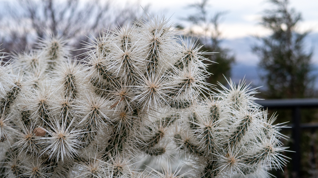
On my way back to my truck in the southern parking lot, I came across a little island of desert vegetation in the northern parking lot.

For my next stop, I’m continuing southeast on Interstate 82 to the Kennewick–Pasco–Richland Metropolitan Area, better known as Tri-Cities.


—§—


Goodbye, Seattle Metropolitan Area

Since the middle of May, I’ve been using the Seattle Metropolitan Area as my “temporary home base.”

Shortly after arriving, I flew to Las Vegas to take care of some errands after a long journey through South Dakota, Montana, and eastern Washington. Af­ter returning and resting up for a week and a half, I set off on the Canadian leg of my road trip.

Immediately upon my return, I petsat, then for the next few months, I rotated around visiting and staying in friends’ homes, exploring the Seattle suburbs, doing more petsitting, spending time with friends, and flying out of SEA to get to places I needed to be, including two more Las Vegas trips and a visit to TwitchCon.

Now, five months later, I’m ready to set off on the next—and potentially final—leg of my transcontinental road trip.

 
Earlier today, I arrived in Yakima, a city in south-central Washington. I was considering going from Seattle southbound alongside the Pacific coastline, but I still hate California, and I want to avoid Portland at all costs now after what has happened to it in the past few years. (I’ve also already been to Port­land; this was before it got really bad and it was still a bit underwhelming.)

Instead, I decided to route myself through southern Idaho and back across Utah, then stop by Las Vegas again on the way to living at the Tempo facilities in Long Beach, California for the winter again like I did last year.

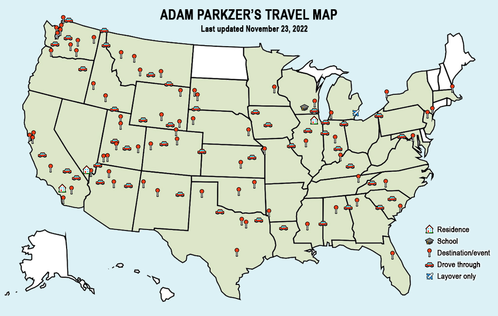
Here is how my progress is looking so far:

Having spent so much time in and around Seattle, there were a lot of photos I took, many of which I published on my website in their dedicated blog posts. However, some were publication-worthy but never made it online. I figured this round-up post would be a good place to share some of my final shots from the Seattle Metropolitan Area.

I think a nice place to start is the Seattle-Tacoma International Airport. Throughout my road trip, whenever I needed to fly somewhere, I would park my vehicle at the local airport, take care of business, come back round-trip, then pick up my truck and continue on my road trip. Sometimes, I would end up in very small airports and have to take inefficient flight paths to get where I needed to go, but SeaTac’s great coverage made travel very easy while I was there.

Back in July, Tempo Games filmed an orchestral performance for The Bazaar. I play a ton of different instruments, including the piano and cello, and I’ve been a fan of music in performance ever since I was a little kid, so it was nice being able to stop by to watch and listen to the musicians.

Even though I spent a very large amount of time in the Seattle Metropolitan Area, I don’t actually really like it here that much (I only stayed here for this long because I have a lot of friends and co-workers who live here, so there was a lot for me to do).

The suburbs aren’t as bad, but I think the local Seattle government has devolved into a dangerous echo chamber of extremist liberal viewpoints. My per­sonal belief is that a balance of government is critically important to properly run a city. A diverse governmental structure encourages discussion and de­bate of differing perspectives, which is conducive to considering all the possible options and selecting the best one, rather than one party’s mission snow­balling unmanageably out of control.

With that being said, if I was absolutely forced to live in the Seattle Metropolitan Area, the place I would pick is Bellevue.

Downtown Bellevue is an amazingly-planned city. It has ample parking, yet still, many interesting things are all within walking distance. It is very well-maintained and clean, the environment is upbeat and welcoming, and it is clear that there is still ongoing development to make it even better.

I like the idea of living in a downtown area, but in a practical and realistic sense, I hate almost all of the actual downtowns. This is why I lived on the Las Vegas Strip instead of downtown Las Vegas—it was sort of an “artificial” downtown where it had the bustle and allure of what a downtown area would be, but without the downsides. Downtown Bellevue is sort of like a Las Vegas Strip, but for business professionals and normal people (as opposed to tourists coming to gamble and drink way too much alcohol).

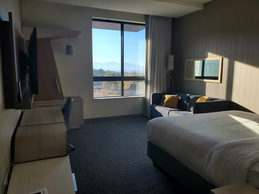
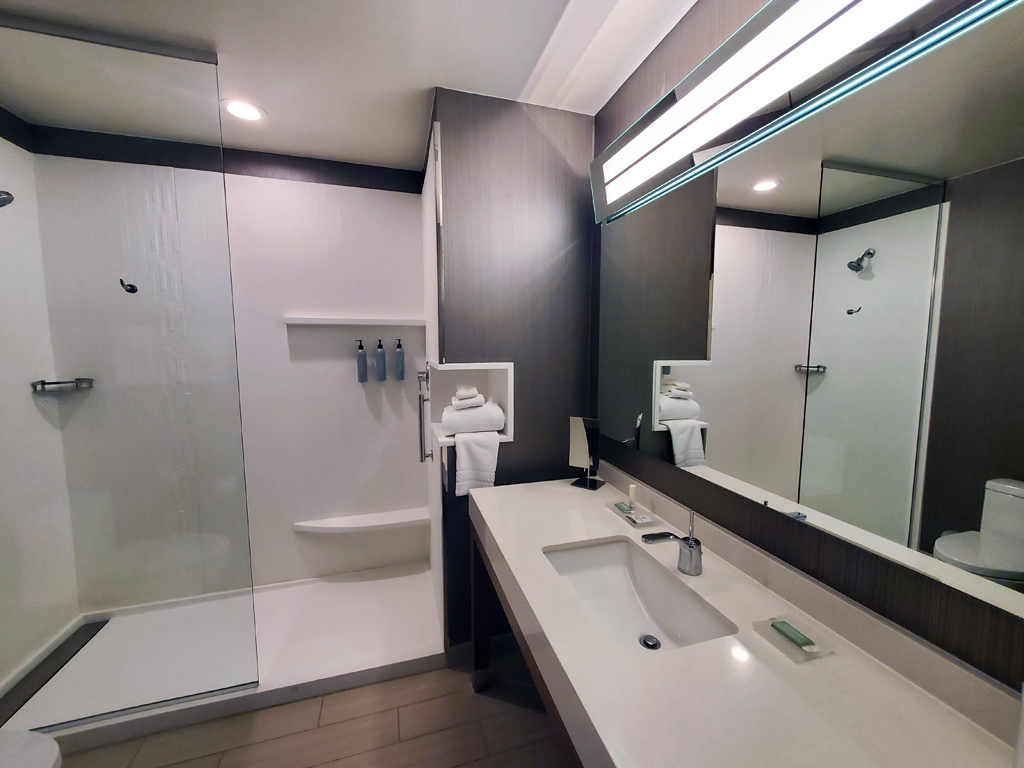
While visiting downtown Bellevue, I stayed at three different hotels, including The Westin Bellevue and the Courtyard Seattle Bellevue/Downtown. The third, which was my favorite, was the W Bellevue.

Funny enough, I’d say my favorite part of this hotel was the fitness facility. It was the largest and nicest hotel gym I’ve ever seen, and it literally even has a lounge area in the center to rehydrate and rest up between sets or after your workout. There was some very unique weight machines that I rarely ever see at other gyms, and it even had a punching bag.

I stayed at the W on a few separate occasions throughout the past five months, so I got to experience a few different rooms on all sides of the building—both with a Lake Washington view, as well as a city skyline and suburb view.

While in Seattle, I was introduced to Dani, who is the owner of Mina the cat. Before those pictures were taken, we walked around Vol­un­teer Park. Unfortunately, we mistimed our trip and it was dark by the time we had arrived, so I don’t have many good photos, but I did capture one after we had climbed to the top of the Water Tower Observation Deck.

It’s very grainy because I zoomed in on the Seattle skyline and it was dark outside, but after enhancing some of the raw camera sensor data, it was able to extract a lot of texture from the sunset and clouds, which I thought looked interesting.

Tacoma is generally seen as the more dangerous part of the Seattle Metropolitan Area. However, having survived walking through Capitol Hill in down­town Seattle, I felt confident that I was fit for Tacoma, so I scheduled a visit and explored the city for a little under a week.

I’m not sure if it was just because I stayed mostly around the touristy areas along the water, but I thought Tacoma was actually pretty nice. I was lucky in that I got a corner hotel room on the 20th floor so I had great 180° views, but the location of the hotel was also convenient so I got to walk to most of my exploration activities instead of driving.

And finally, I already have three blog posts featuring photos of Drake, Kaya, and Bullet, the three animals I’ve petsat on multiple occasions while I was in town, but here are three more, one of each, to close out my trip.

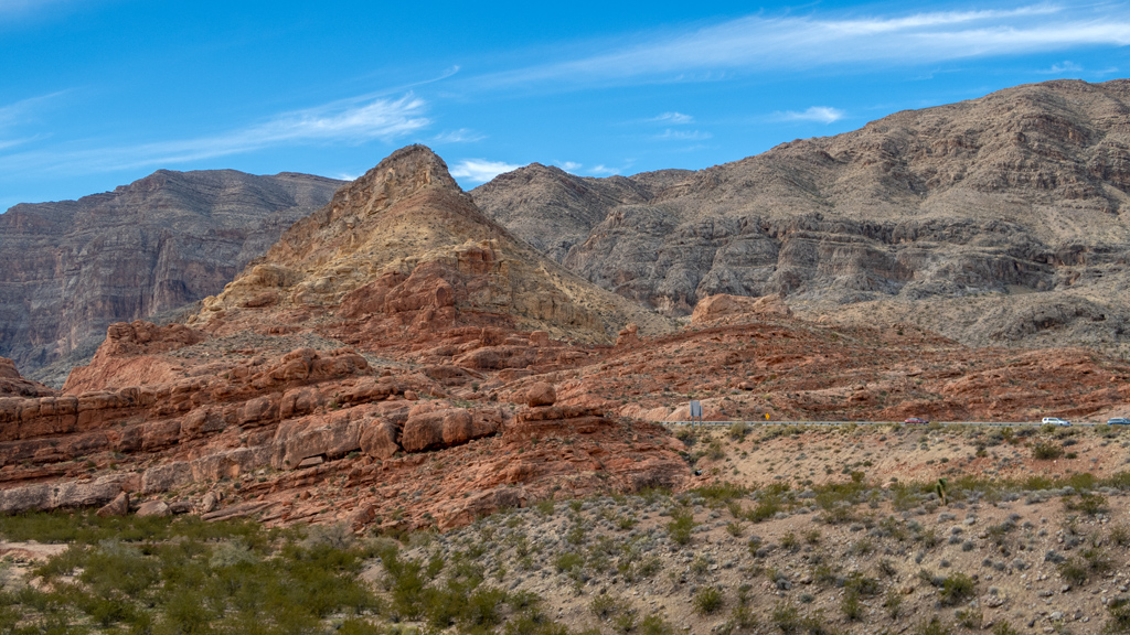
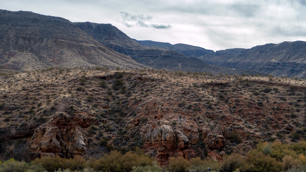
The drive to Yakima was only about two hours, but it was nice being back on the road, driving through mountains and sightseeing new areas. More to come soon…


—§—