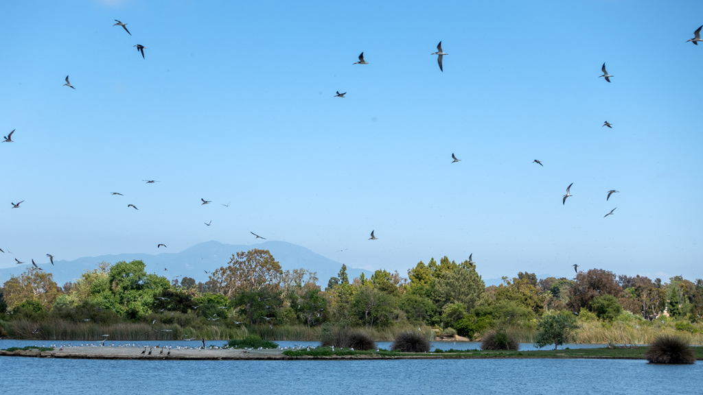
After spending a long afternoon at the Waitomo Glowworm Caves, we continued our New Zealand trip by heading east to Tūrangi, a small town on the North Island Volcanic Plateau situated on the west bank of the Tongariro River.
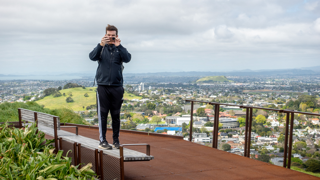
If you didn’t catch it from previous blog posts, I’ve been traveling together with my friend Doug Wreden and doing all our tourism activities together. However, this was the first day where we explored separately—Doug did a strenuous hike across the Tongariro Alpine Crossing, while I opted to do a lighter trail in town because my stamina is not as good as his and I was exhausted from the previous three days of physical activity.
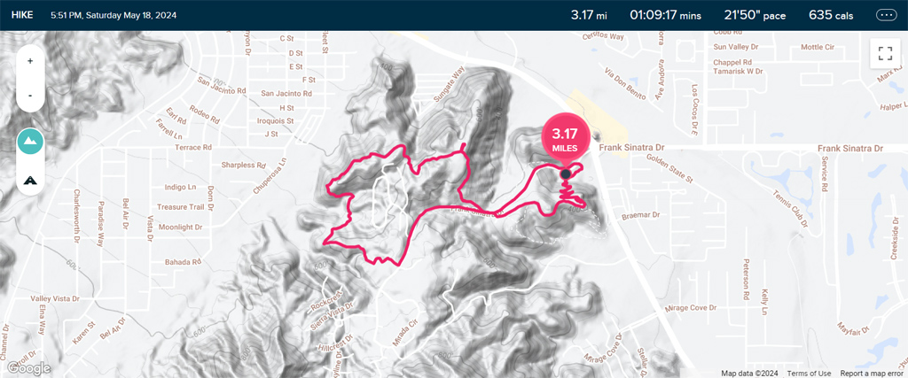
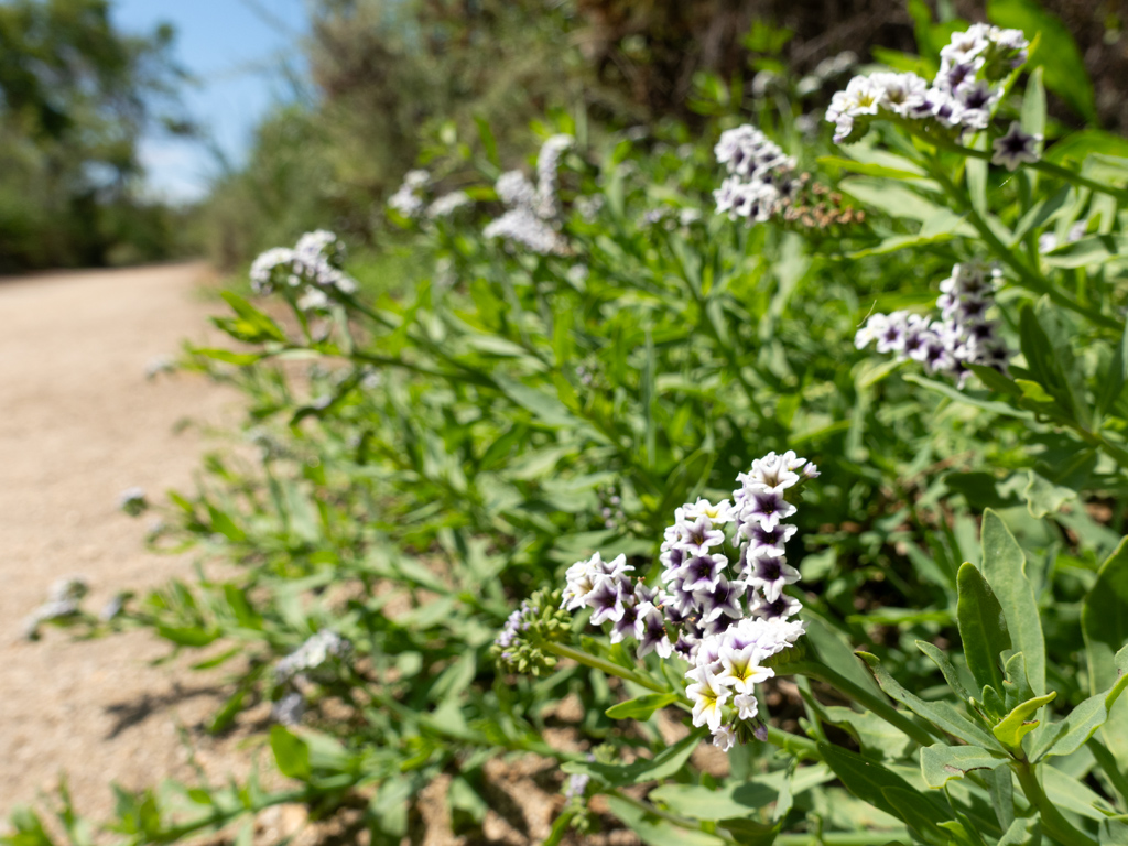
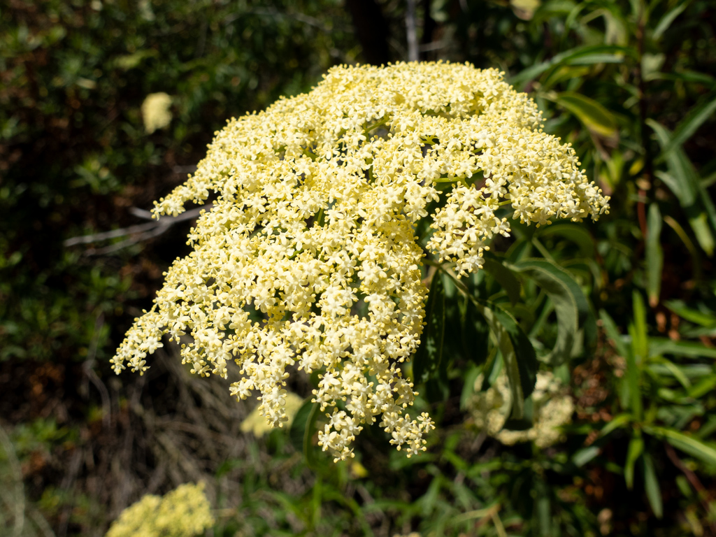
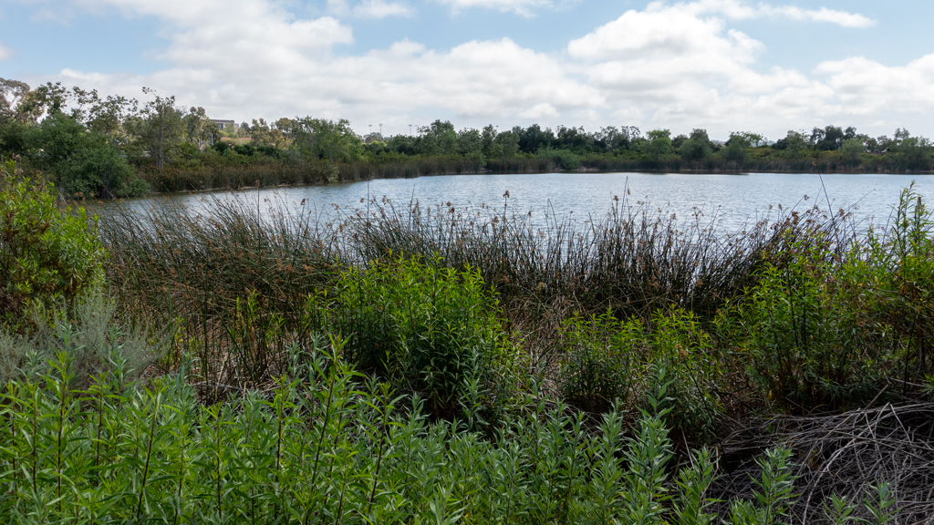
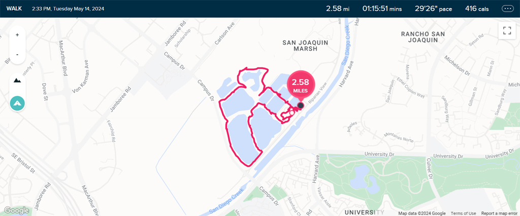
After preparing some bacon, scrambled eggs, toast, Greek yogurt, and orange juice for breakfast in our lodge, I headed out to the Tongariro River Trail, one of the entrances of which was right outside our door.


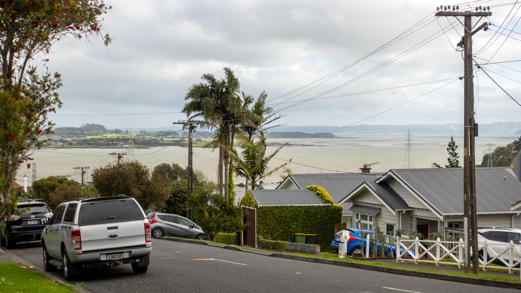
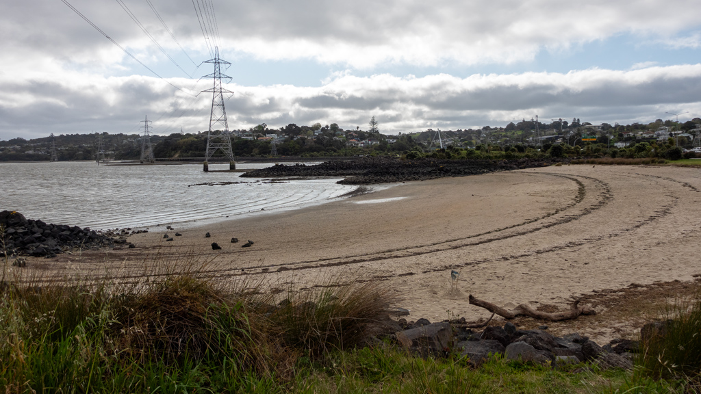
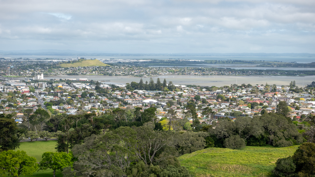
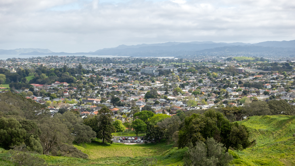
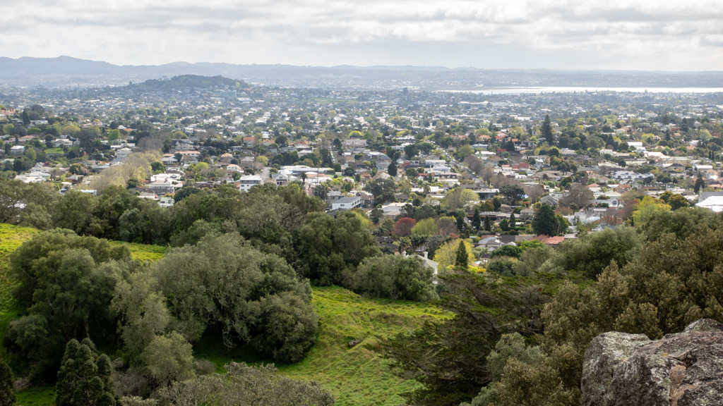
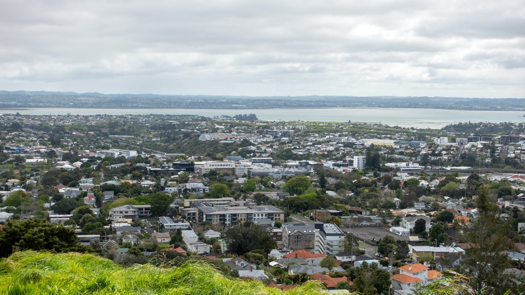
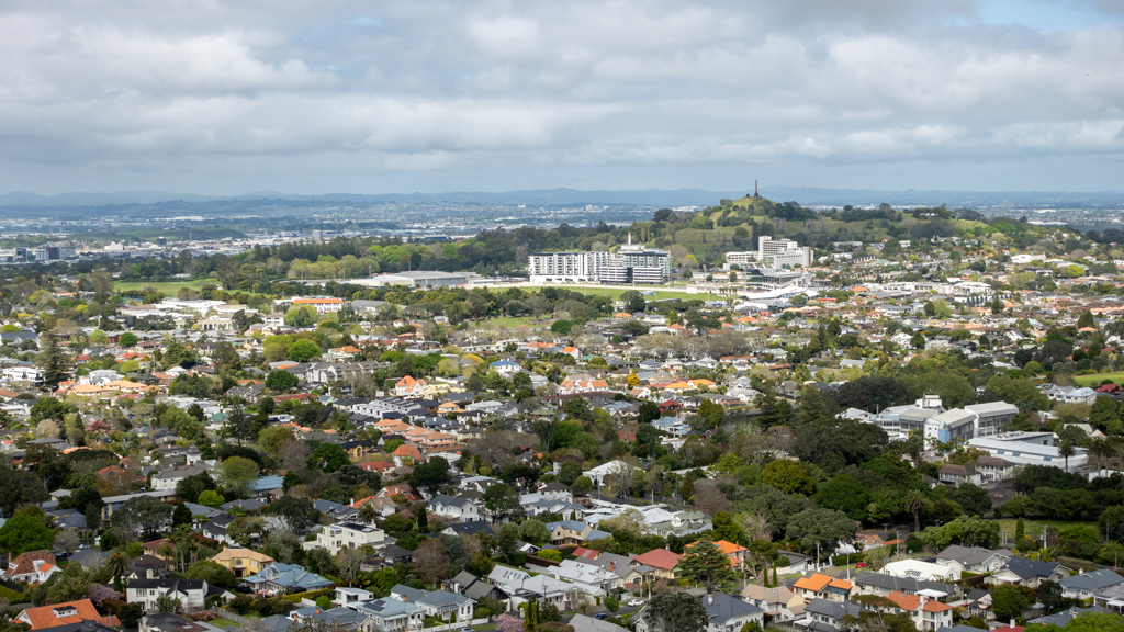
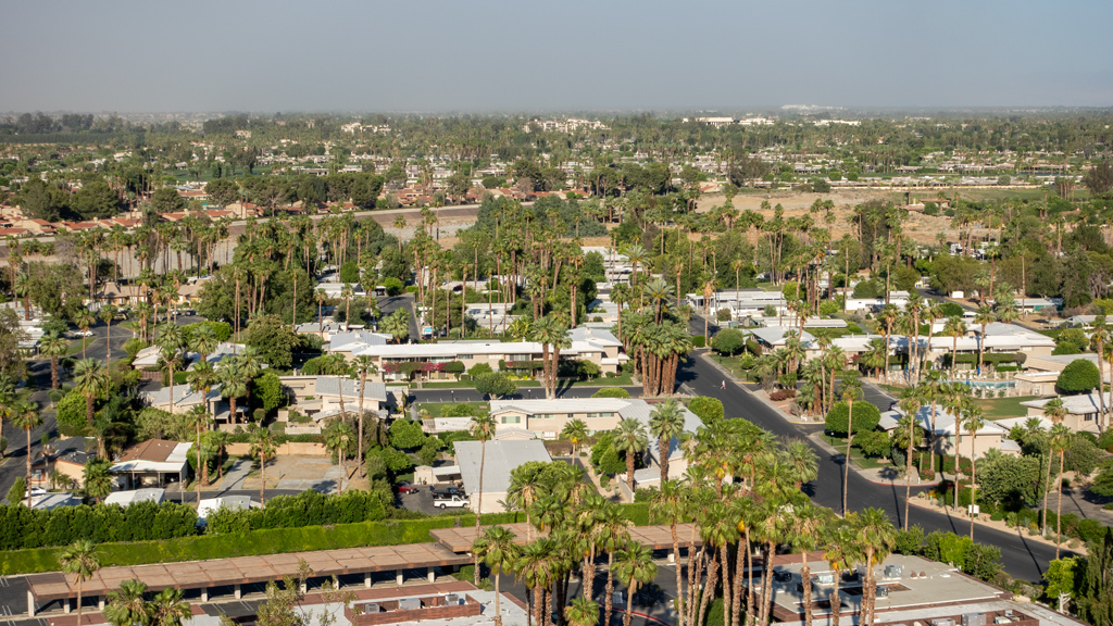
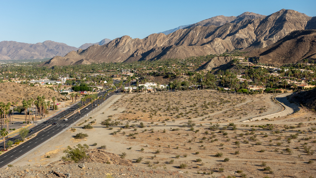
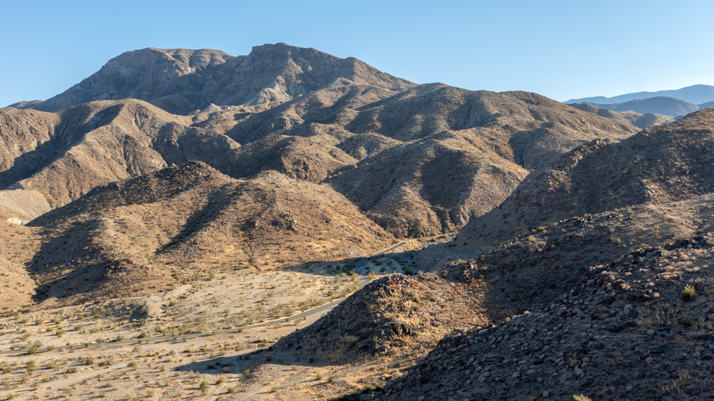
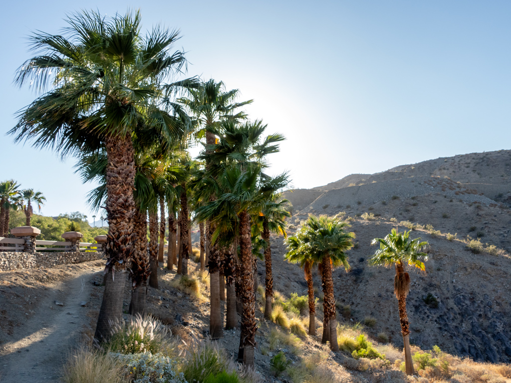
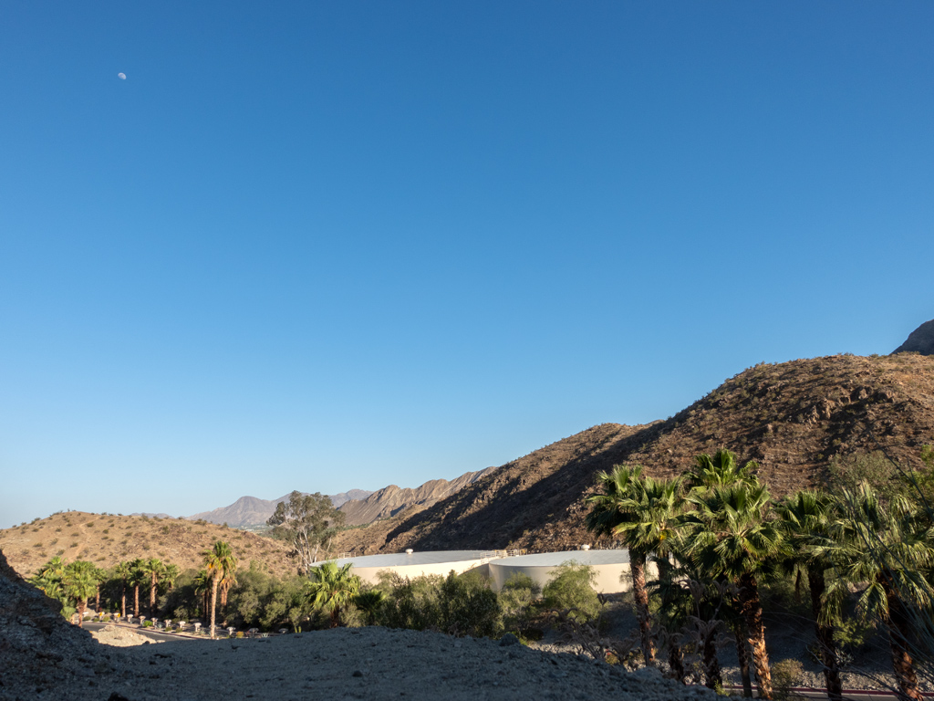
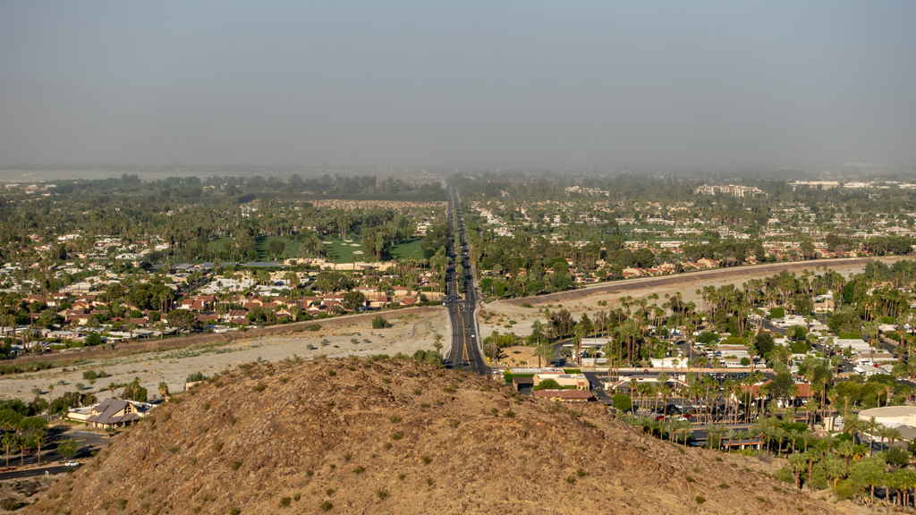
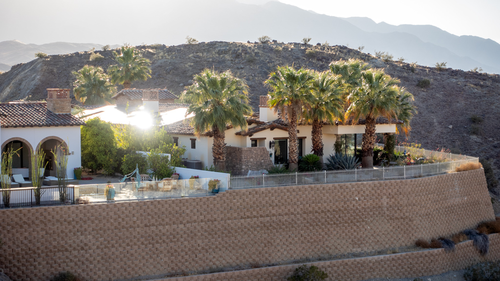
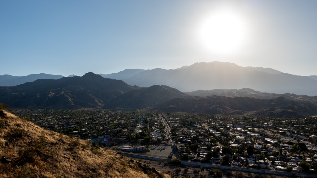
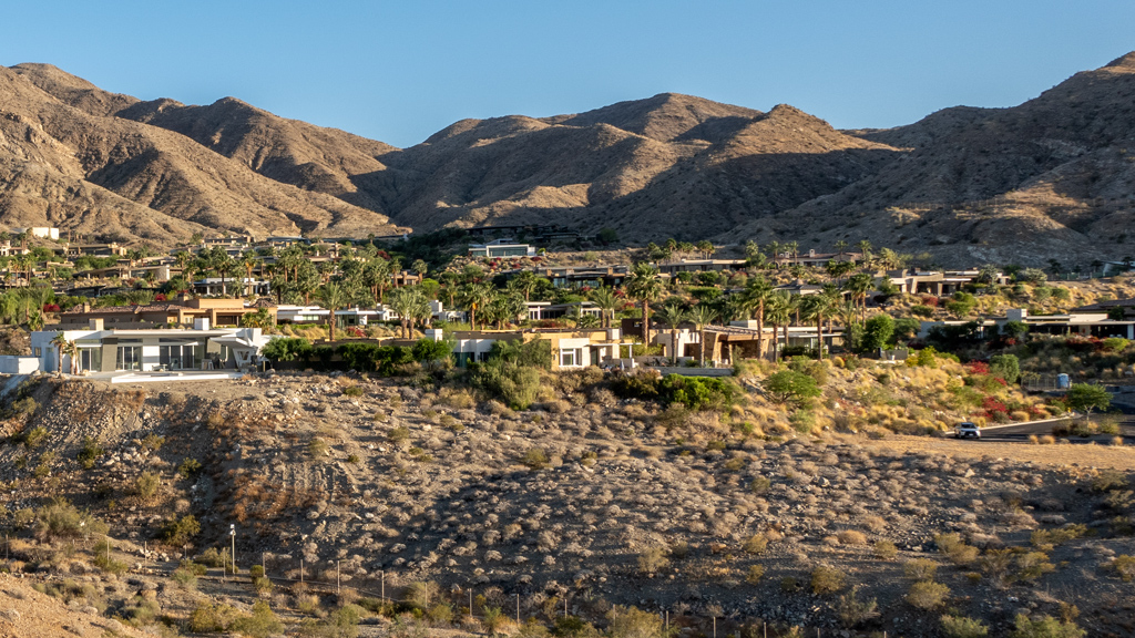
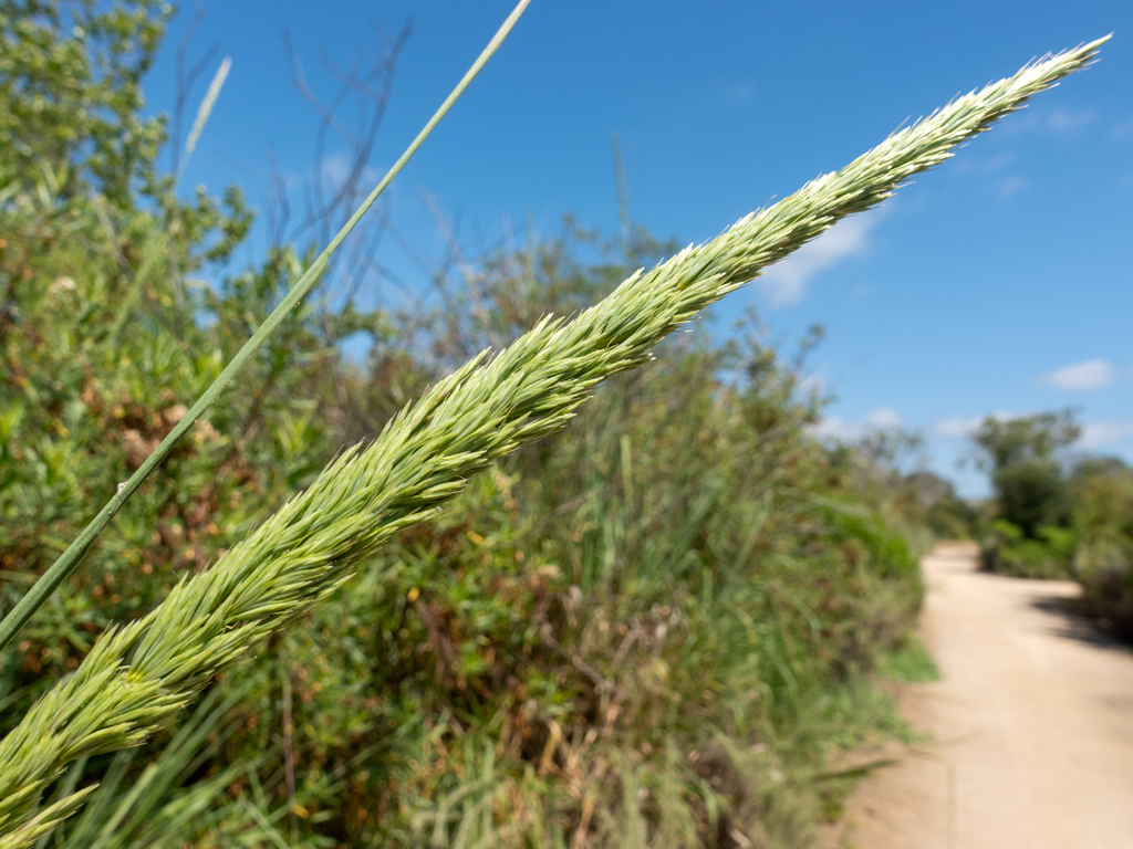
The northern side of the trail had an incline and some switchbacks that went up a few hundred feet in elevation, allowing hikers to get a nice view of the town and its surrounding areas.


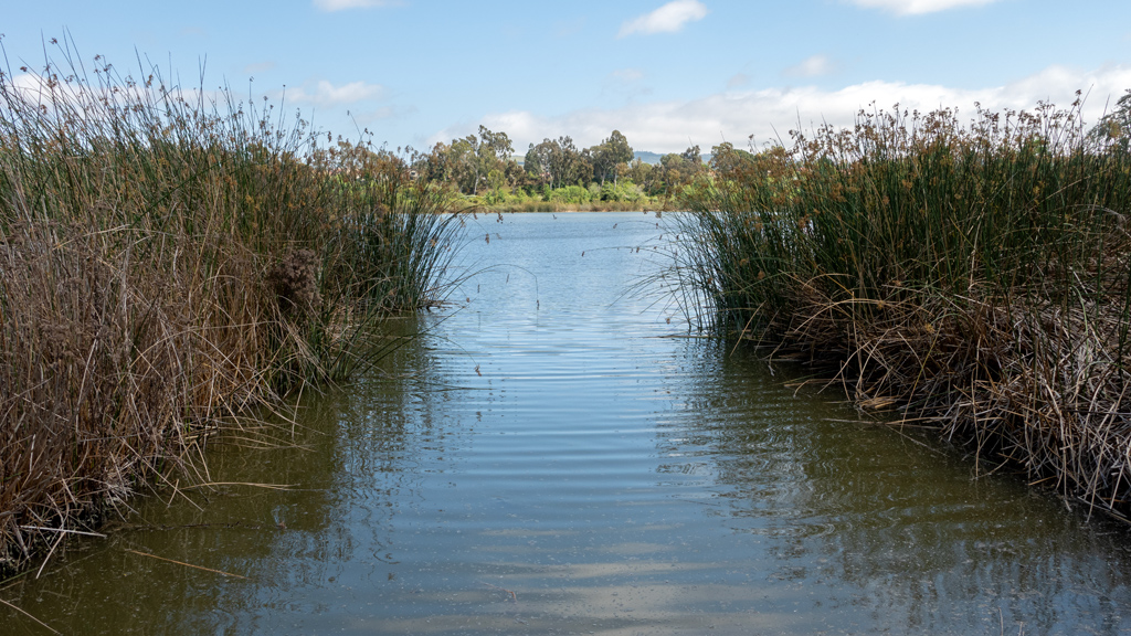
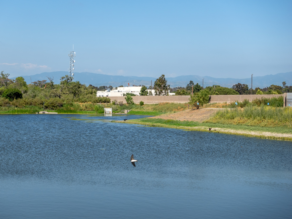
After taking in the scenery, I descended the hill and made my way down and under the bridge and overpass of New Zealand State Highway 1 going over the Tongariro River.

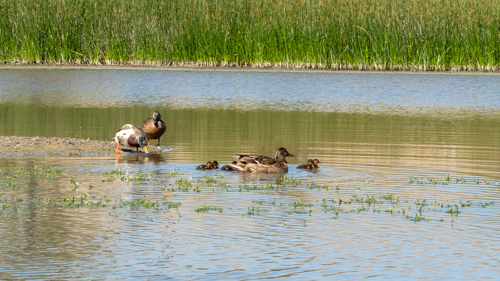
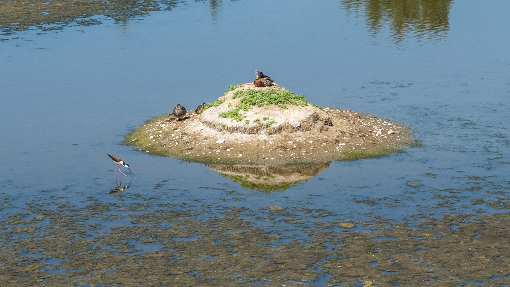
While continuing on the path, I saw a man fishing in the river.


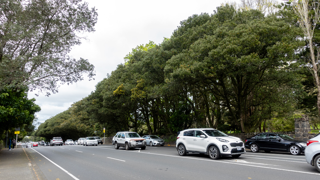
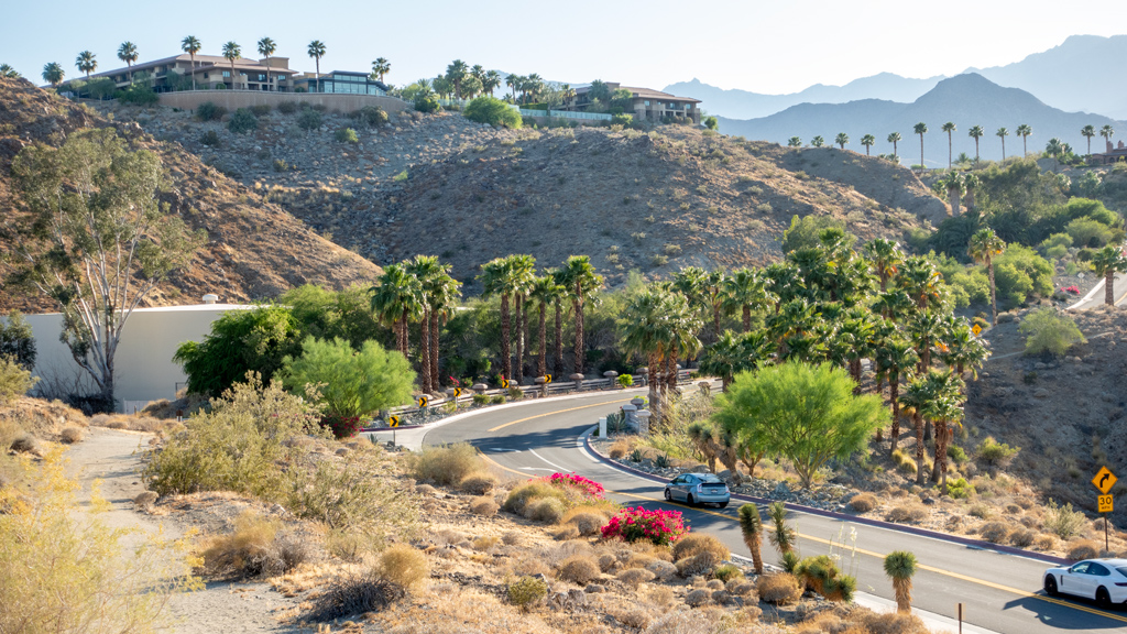
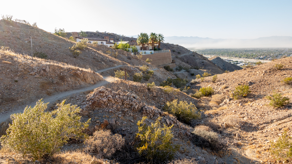
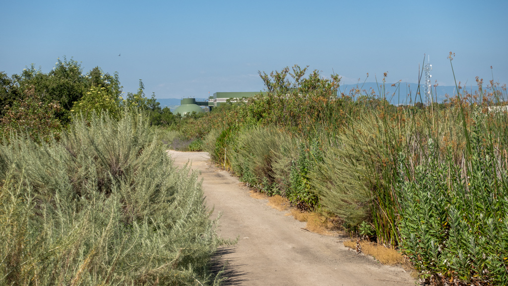
On the way back, I took a more residential route so that I could also see the town.


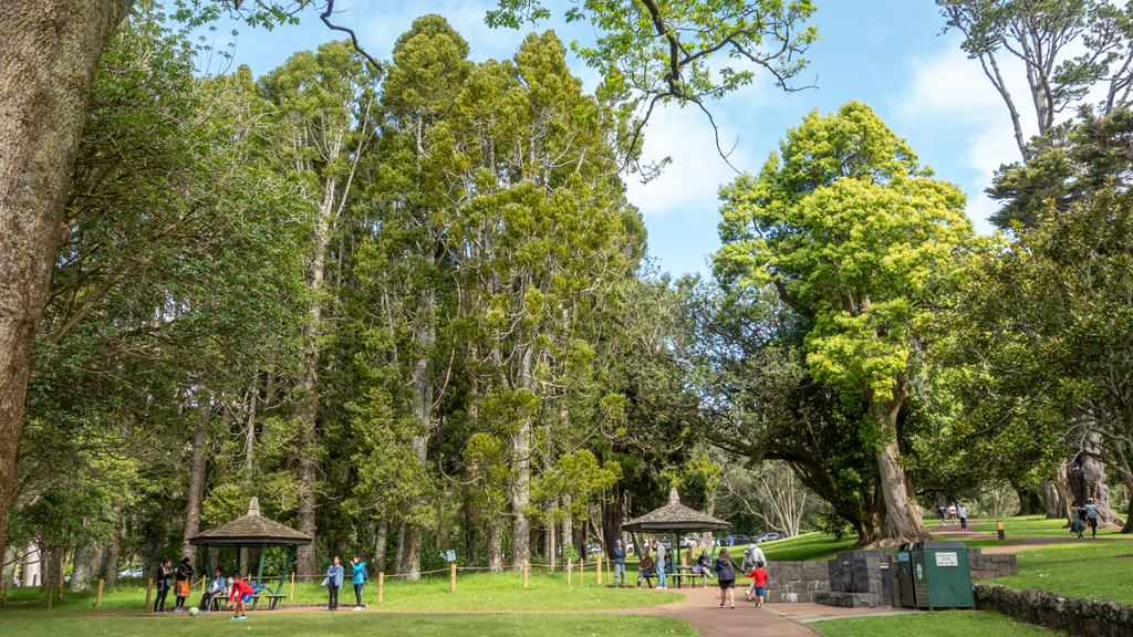
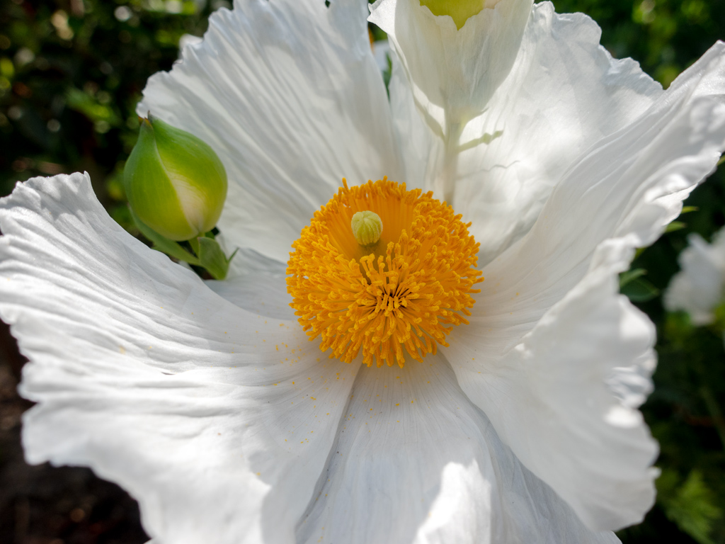
It wasn’t very busy, so the residential areas made for a very calming and peaceful walk with a nice mountain view as a backdrop.


I made my way back to our lodge—The Cottage at River Birches.

Most of the inns, lodges, and motels in Tūrangi looked fairly dated and in need of renovations, and a lot of the better spots were farther out in the outskirts, so we had somewhat limited options for nice accommodations.
During my search, I came across River Birches and saw that it looked very well-maintained and had a good balance of modern touches while still sustaining a cozy cabin mood. They had an option to book out an entire three-bedroom cottage to ourselves; it was obviously much pricier than any of our other options, but because both Doug and I are financially comfortable, I figured it wouldn’t hurt to splurge for two nights to enhance our vacation.


The owners of the cottage made sure that we had any and all of our wishes fulfilled. There was incredible attention to detail in every aspect of the hospitality experience, and they provided a wealth of conveniences that made our stay feel seamless and pampered.


Our next overnight stop will be in Rotorua before looping back up north to Auckland.