I used to go to the Seattle Metropolitan Area relatively frequently because a member of Tempo‘s executive team used to live up there, so I would visit her for work and for fun, and it was also a good way to visit some other friends while I was in the area. However, since her move out-of-state, the “kill two avians with one stone” concept didn’t work when it came to threading in a free personal trip while I was already in town for work, so I haven’t been going as frequently.
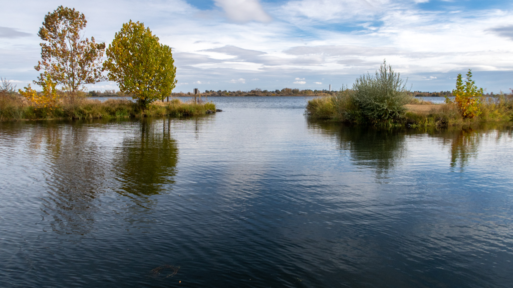
This past week, I decided to take a trip to Seattle anyway. One of the places I toured was Deception Pass State Park, a Washington state park in Oak Harbor. It actually reminded me a lot of my prior visit over one year ago to the Larrabee State Park, but Deception Pass was brighter and had much more water.
After a very brief stop at the Skagit Valley Food Co-op in Mount Vernon on our way there, we drove to the Deception Pass State Park Administration Offices to purchase a pass (upon which we found out were actually sold elsewhere, at the Entrance Station). We eventually made our way to the North and West Beach Parking Lot at the state park and started our hike on Pacific Northwest Trail.
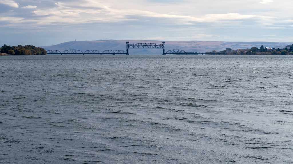
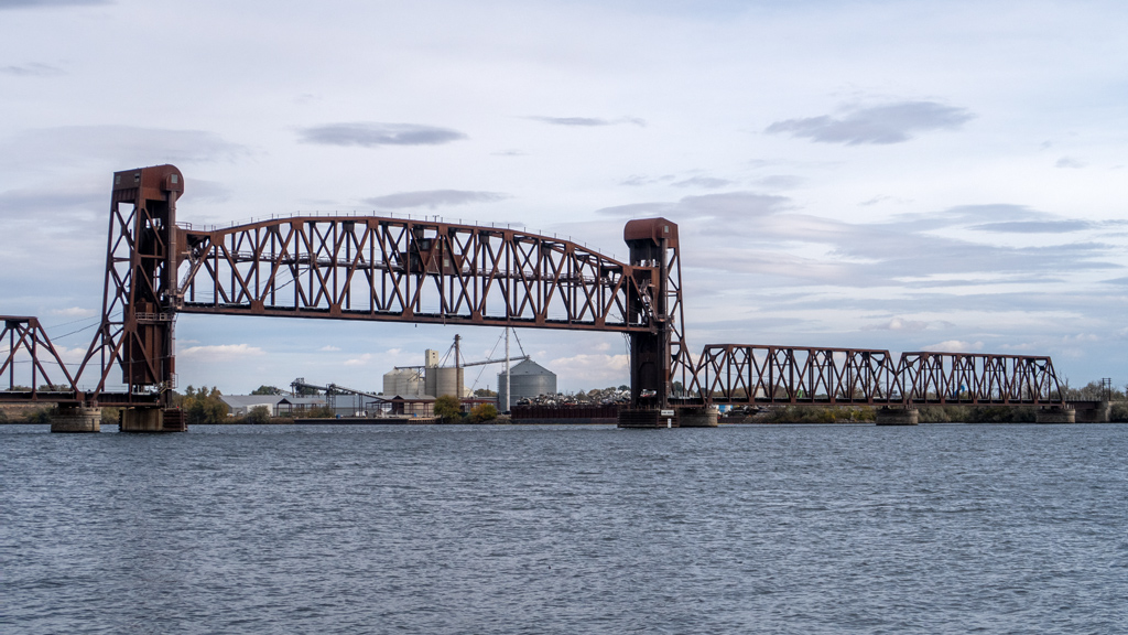
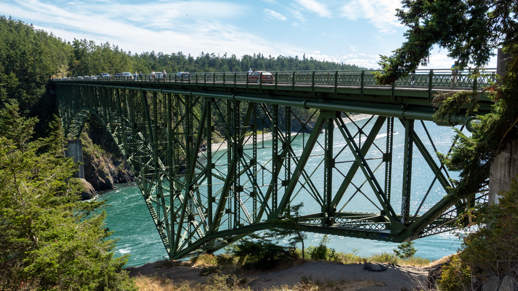
From the trail, we were able to see the bridge in the distance.
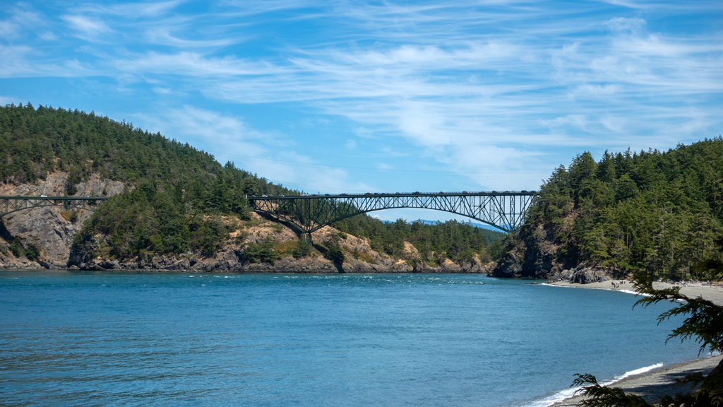
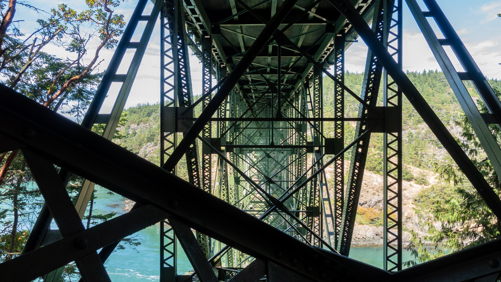
We continued all the way down Pacific NW Trail up to its intersection at Washington State Route 20, where we were able to get a direct view of the underside of the bridge.
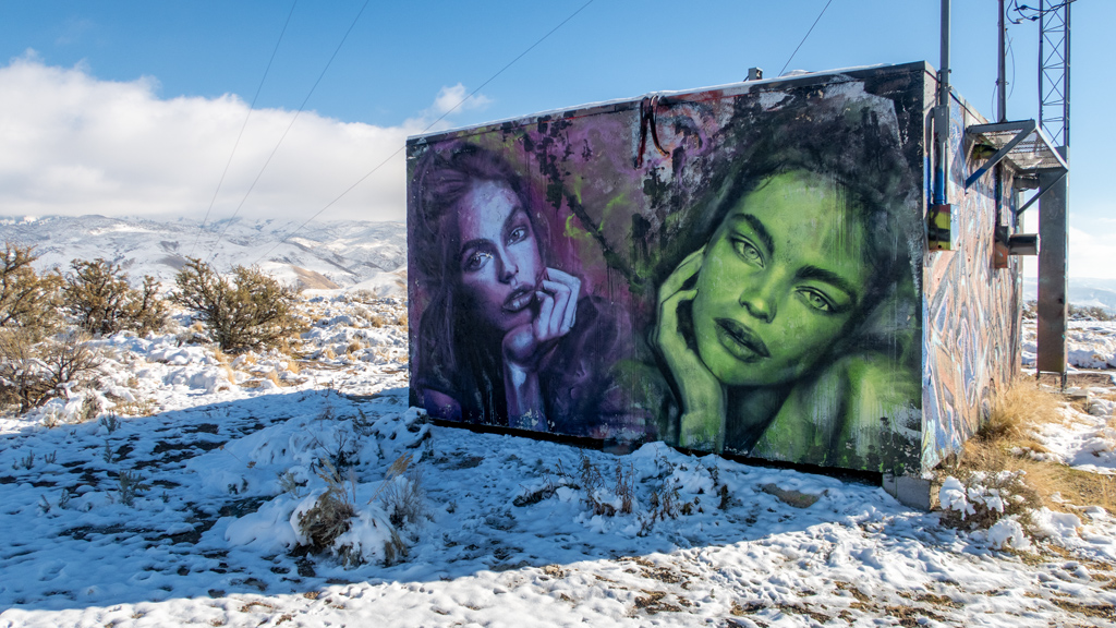
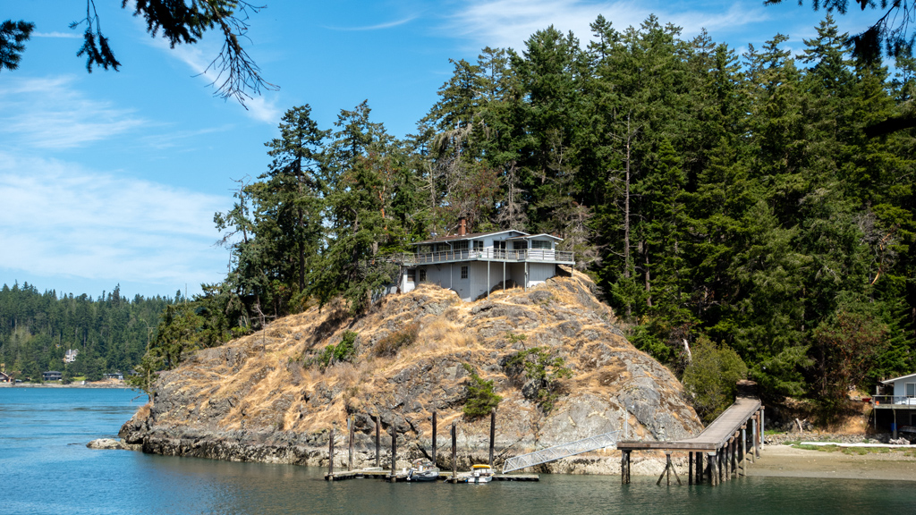
After crossing over to the other side, we connected onto Goose Rock Perimeter Trail. After continuing eastbound, we found an interesting sight—a house on top of a rock on Ben Ure Island.
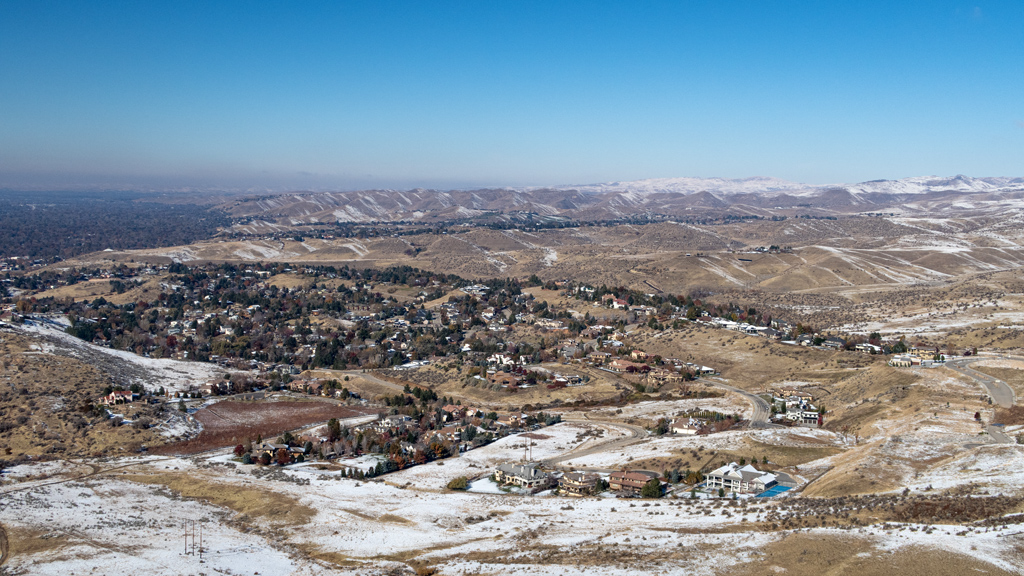
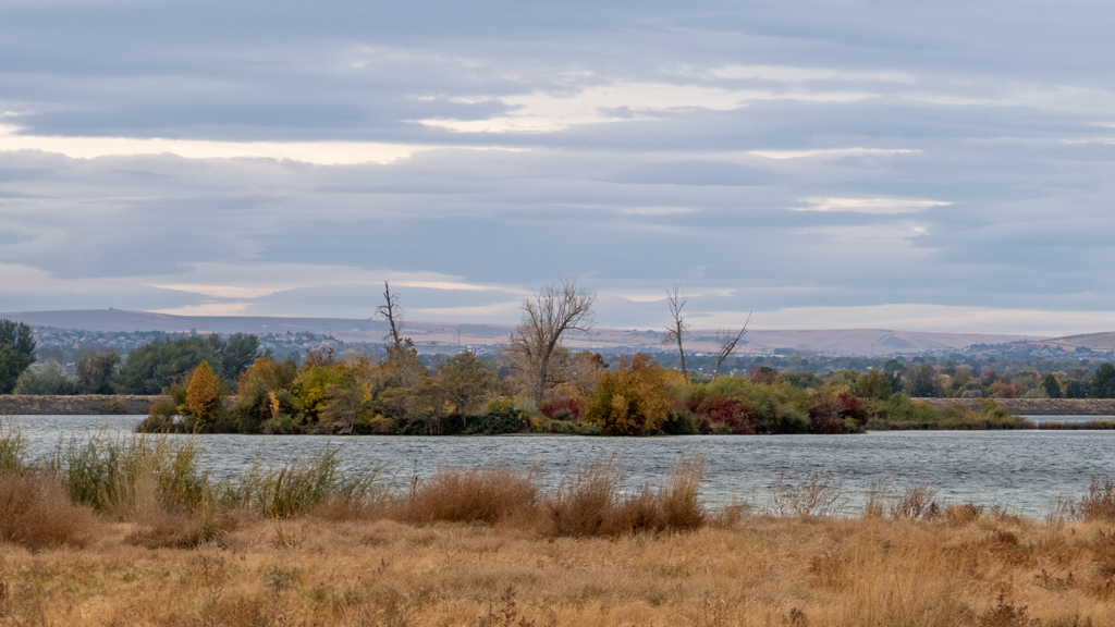
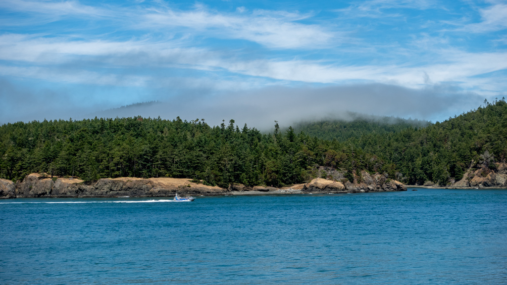
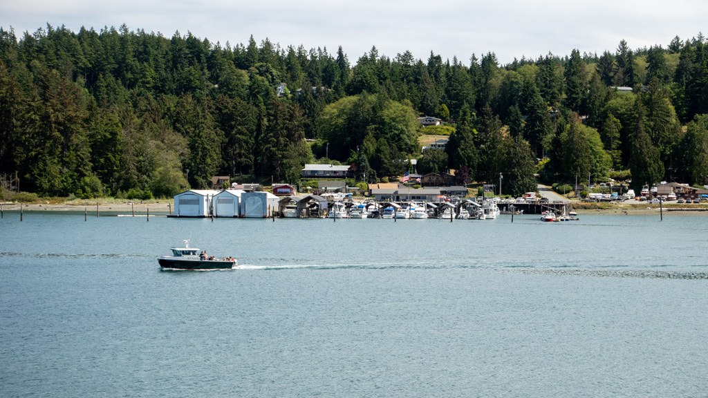
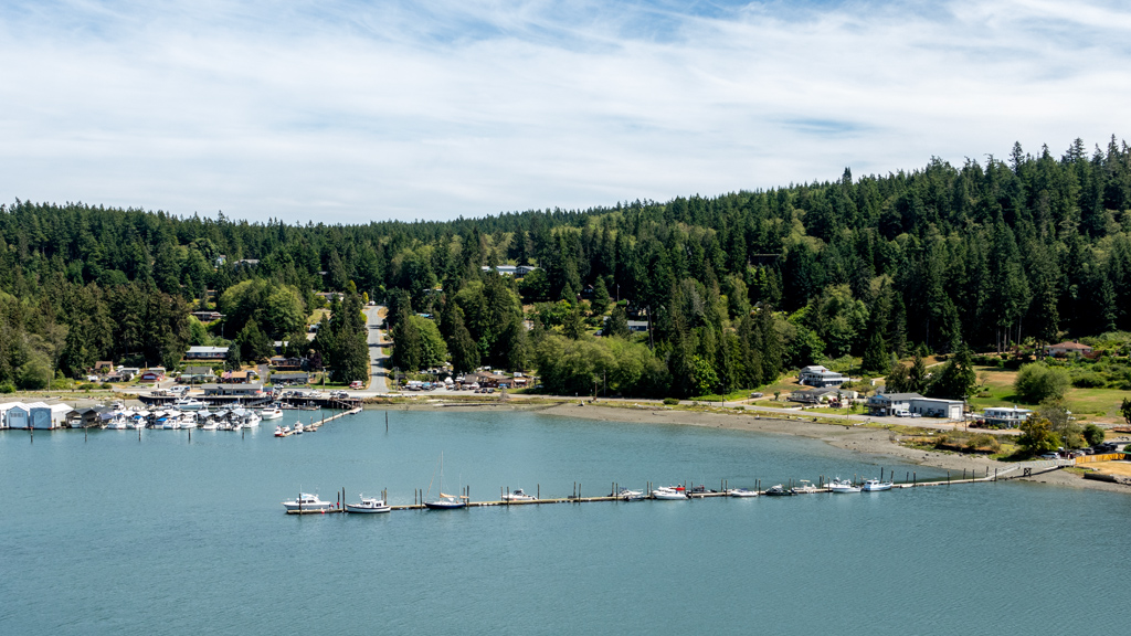
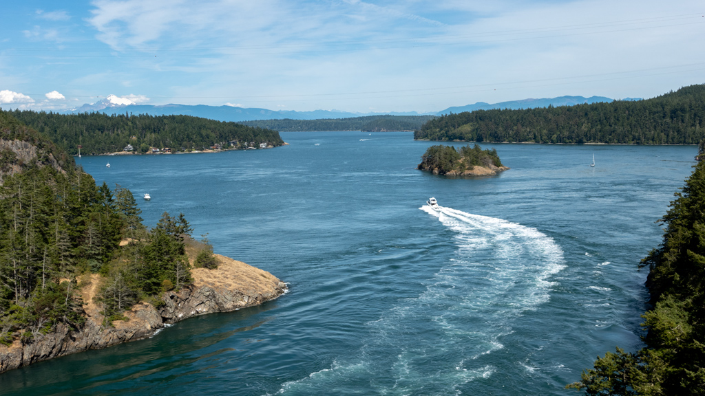
Continuing on the perimeter trail, we made it towards the bottom where we got some nice views of the Deception Pass Marina, Cornet Bay, and the Cornet Bay County Park.
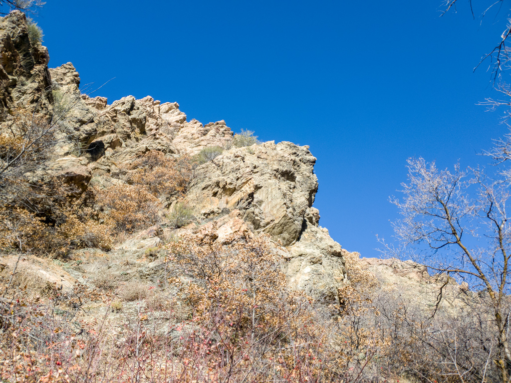
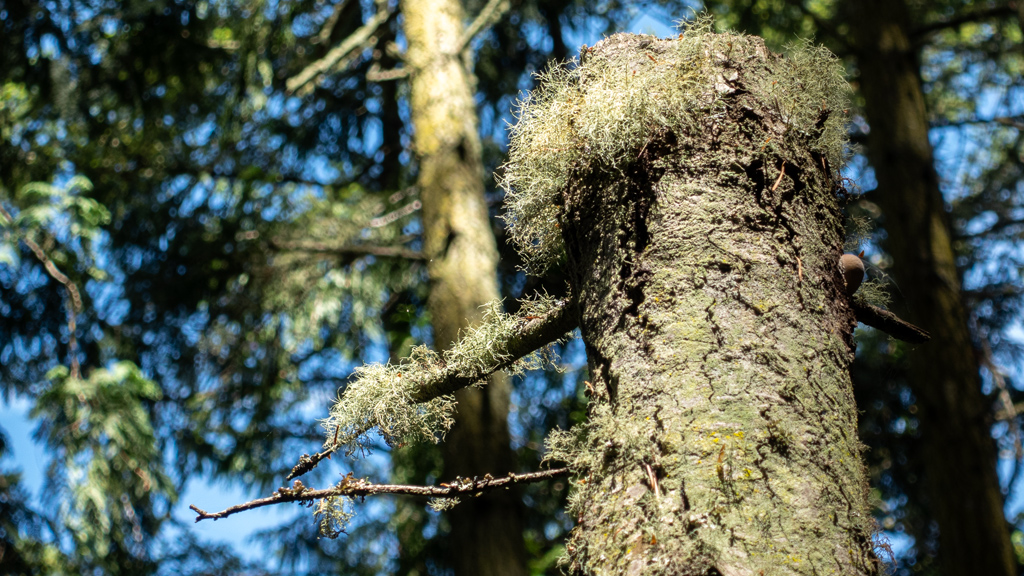
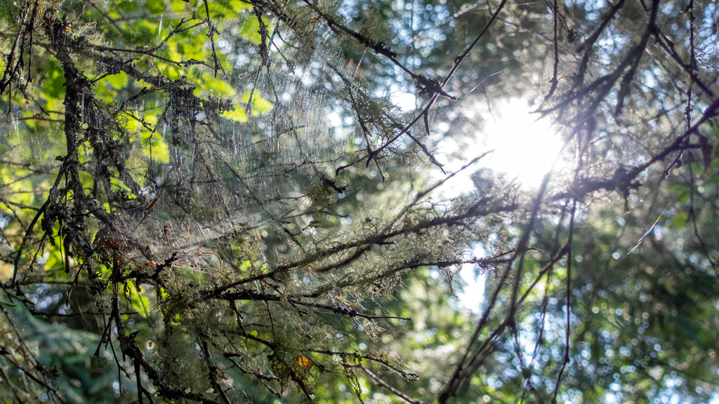
Here is a random very fuzzy tree.
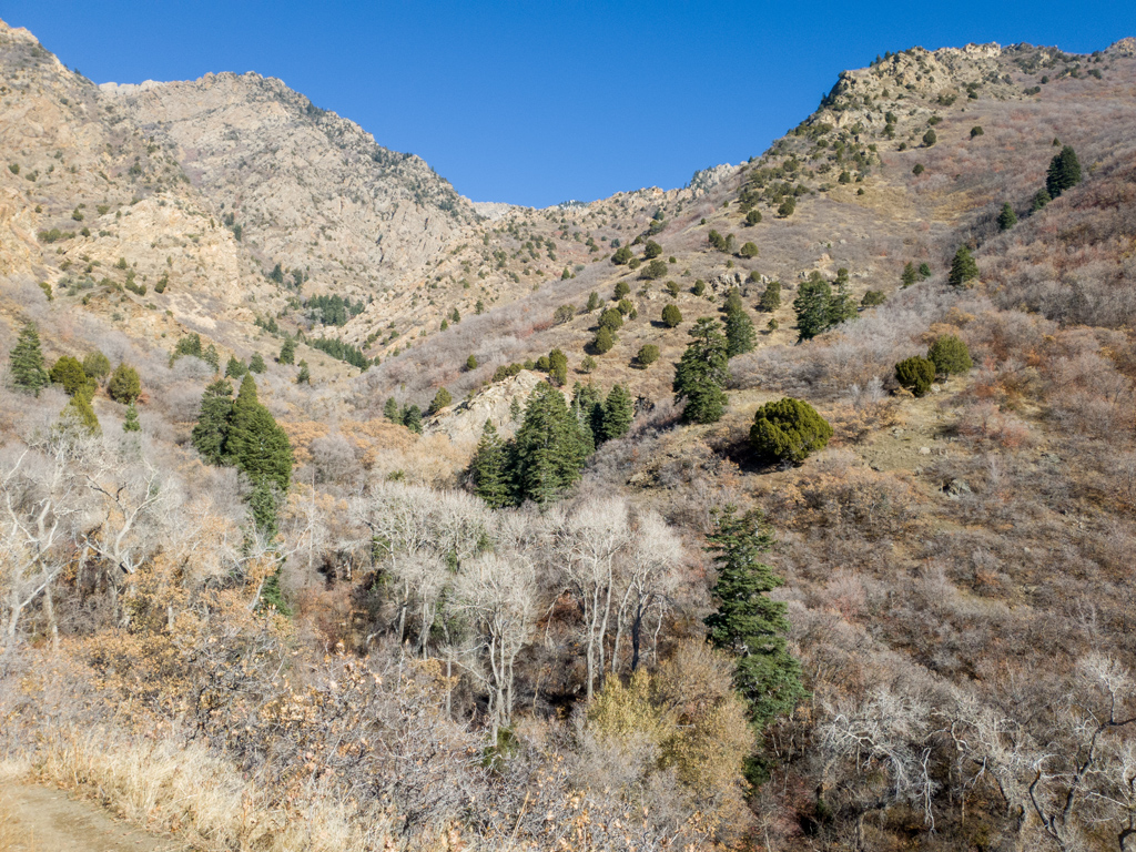
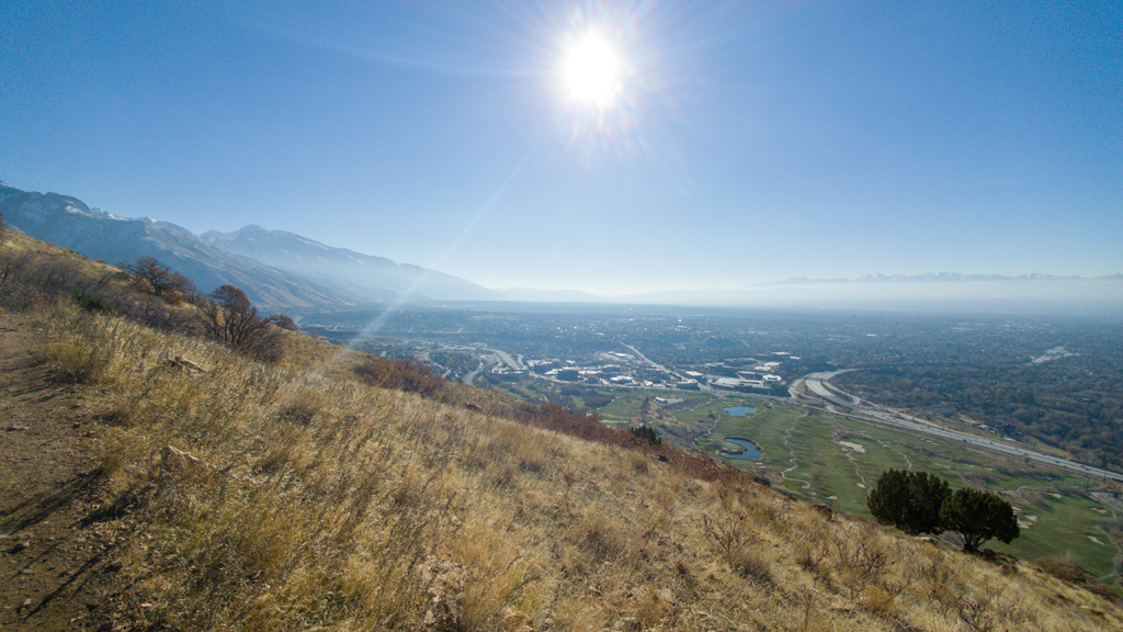
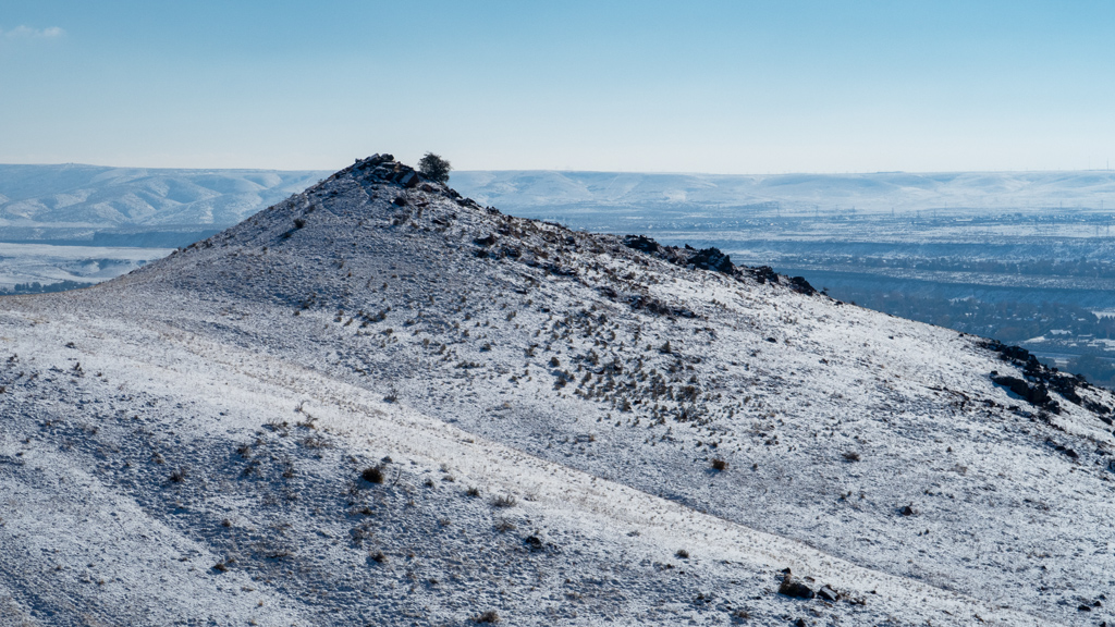
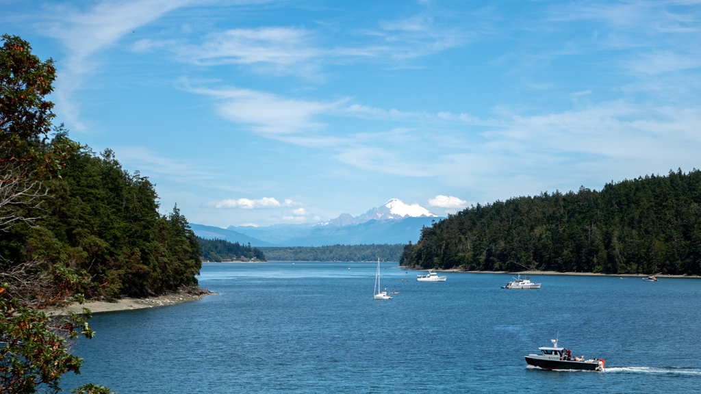
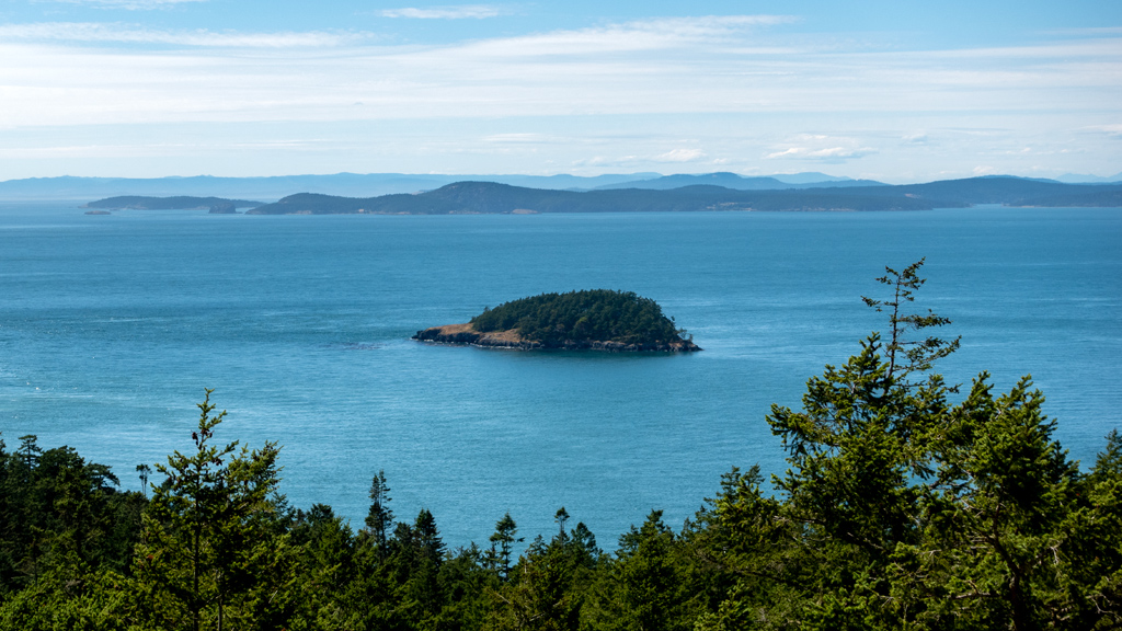
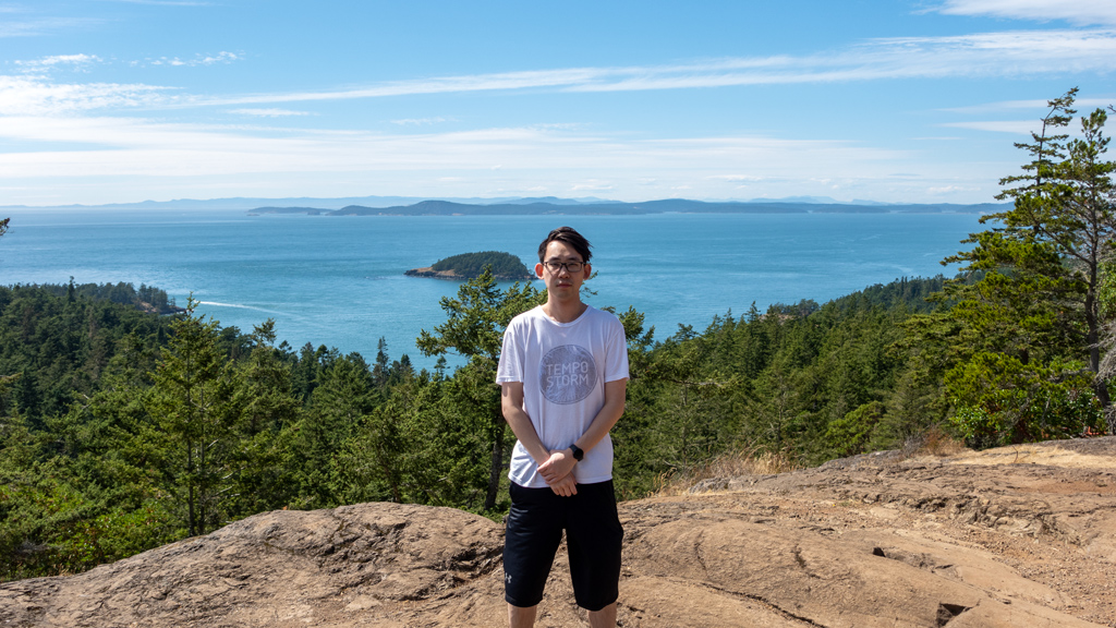
Goose Rock Perimeter Trail eventually turned into Goose Rock Summit Trail. After some switchbacks and a lot of elevation gain, we made it to a spot where I got a nice view of Deception Island in the background and Victoria, British Columbia, Canada in the far distance.
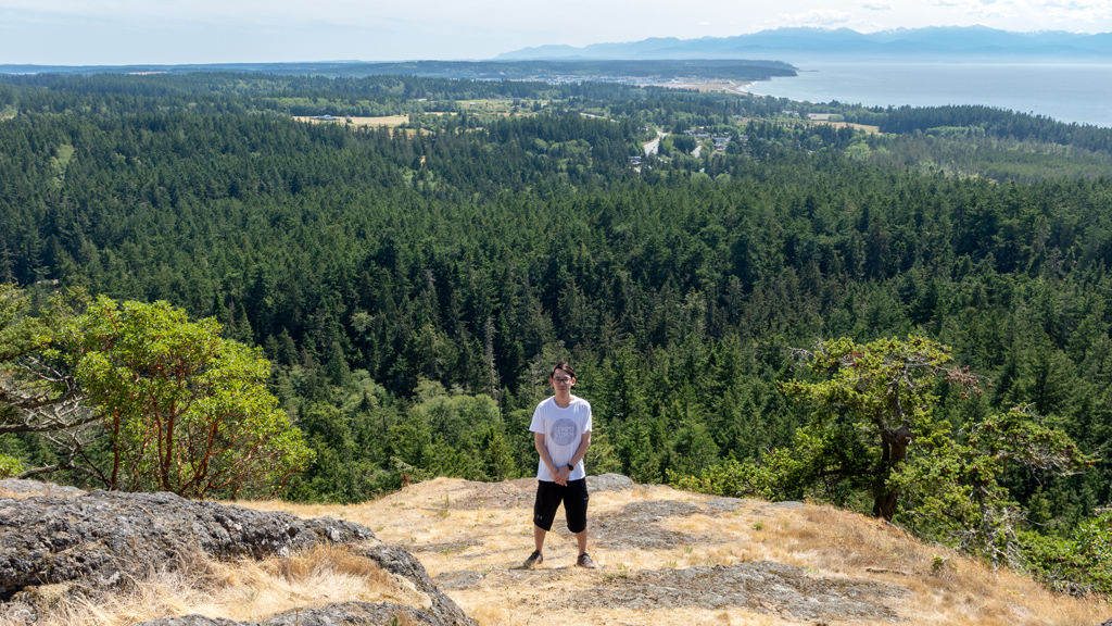
Here are some photos of me at Goose Rock Summit.
Fun fact, I didn’t bring enough t-shirts in my luggage, so the shirt I’m wearing was actually the shirt I was using as my pajama shirt for the prior 4 days.
Because the variant of Goose Rock Trail we took was a loop, we made it back to the intersection at Washington State Route 20. We decided to climb up the stairs onto the bridge and do a down-and-back to take in some of the nice views of Pass Island and the actual “pass” portion of Deception Pass.
Here is a random humongous spider web that I found stretched across some branches on our way back to the parking lot.
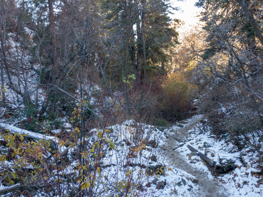
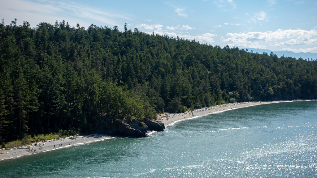
And finally, here is one of the last photos I took as we were retracing our steps westbound on Pacific Northwest Trail. I believe this is of the North Beach at Macs Cove, close to the Scenic Vista Parking Lot.
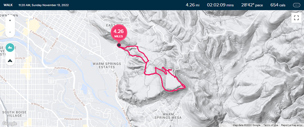
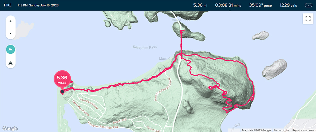
Overall, our hike clocked in at 5.36 miles (8.63 kilometers) and took a little over three hours (though I believe that includes breaks, chatting with other hikers, and snacking at the summit). My elevation gain on my fitness tracker wasn’t fully accurate because I was also taking the stairs up and down my hotel that day, but my hiking companion’s fitness tracker said our climb was right around 103 stories in height.
I haven’t been on a good, long hike in a while, so this was a very pleasant and refreshing experience. Apparently Deception Pass is the most popular state park in Washington, and based on my experience, it definitely made sense why.
If you like boating or camping, Deception Pass can be a great multi-day trip, but if you’re more of a hiker and beach-goer, I think this state park is just big enough that you can head over in the morning, fill the day with activities, and return in the evening.