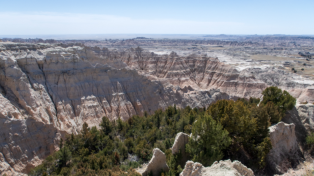
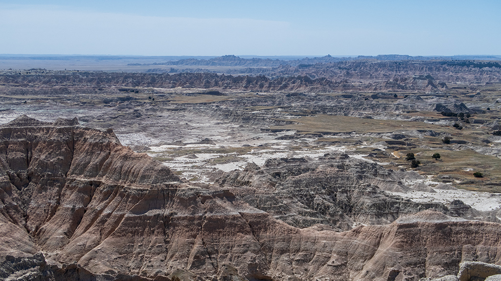
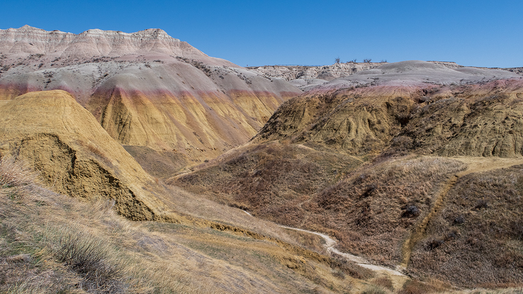
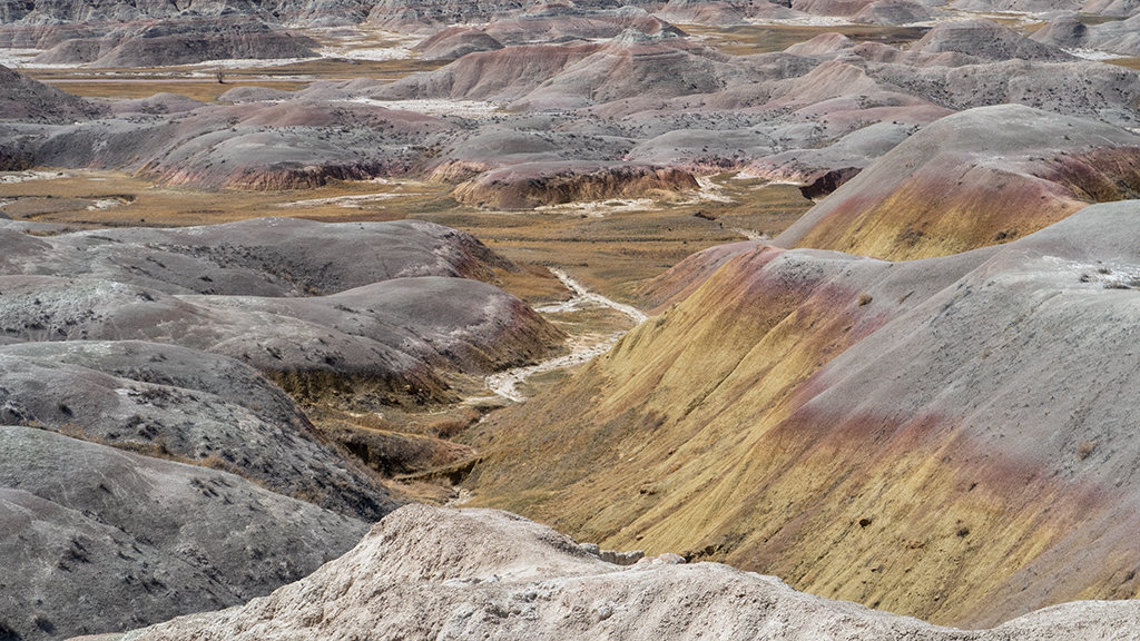
Hello, Museum of Geology at the South Dakota School of Mines and Technology

Ever since my arrival in Rapid City, South Dakota, it has been ridiculously and unmanageably windy. I mean that in the most literal way possible—the wind is so strong that I have trouble walking in a straight line, I have to have my steering wheel perpetually turned slightly against the direction of the wind when driving or else I will be pushed off the road, and I nearly had an entire pan of pizza take off and fly away from my arms.

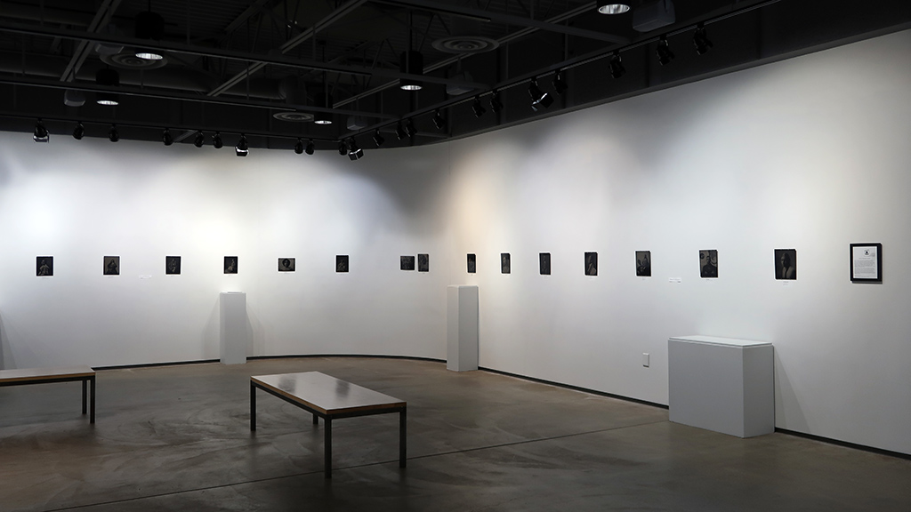
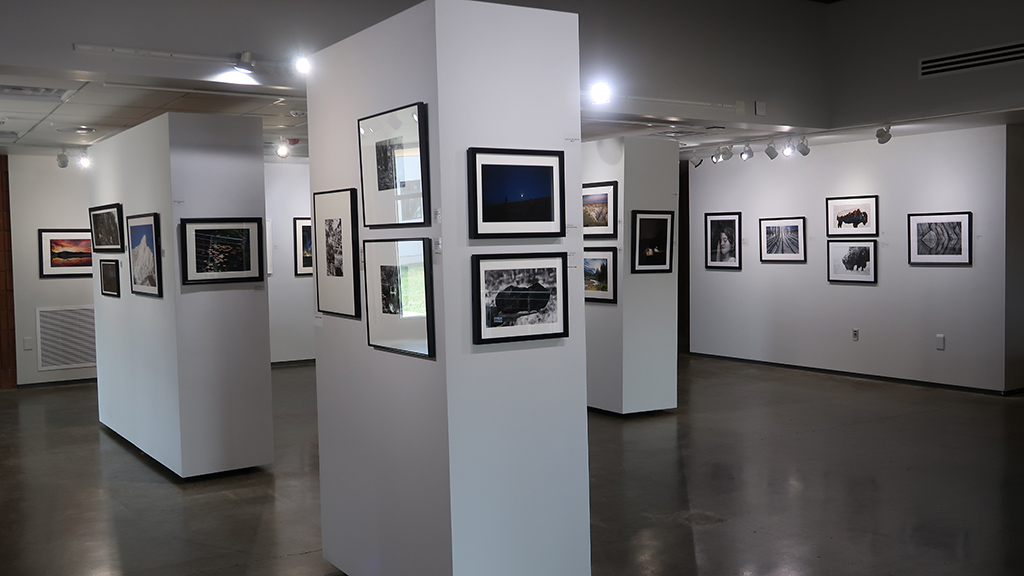
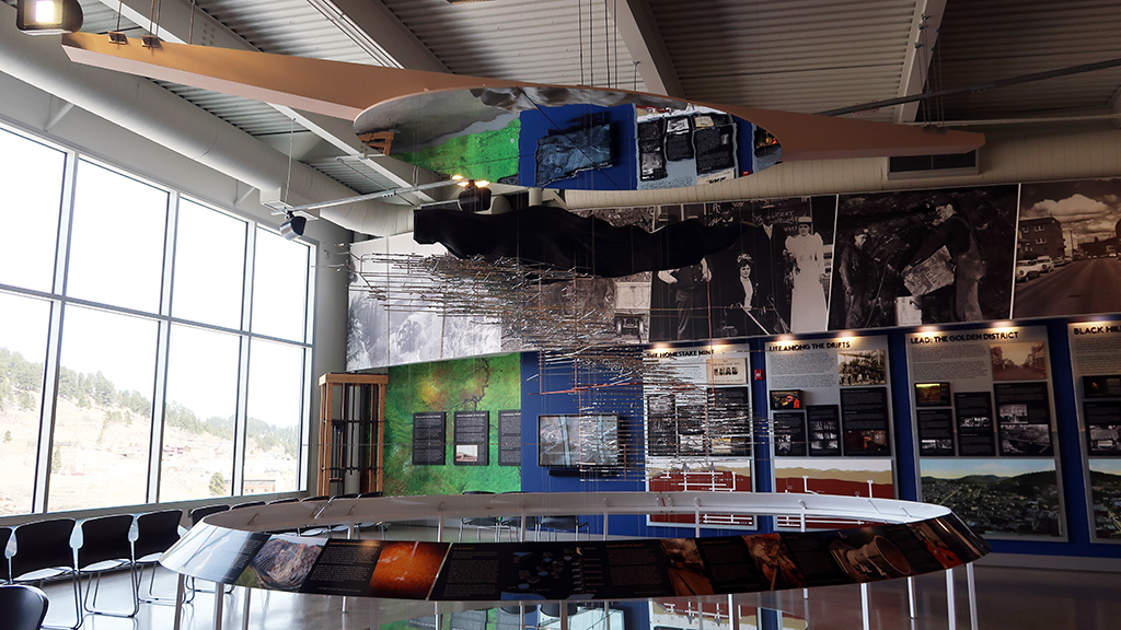
While waiting out the wind and hoping it settles down in the coming few days, I decided to do an indoor activity and visited the Museum of Geology, part of the South Dakota School of Mines and Technology. I’m not exactly the biggest geology enthusiast, but the museum had good reviews online and it had free admission, so I decided to check it out.

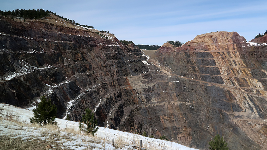
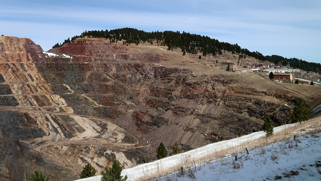
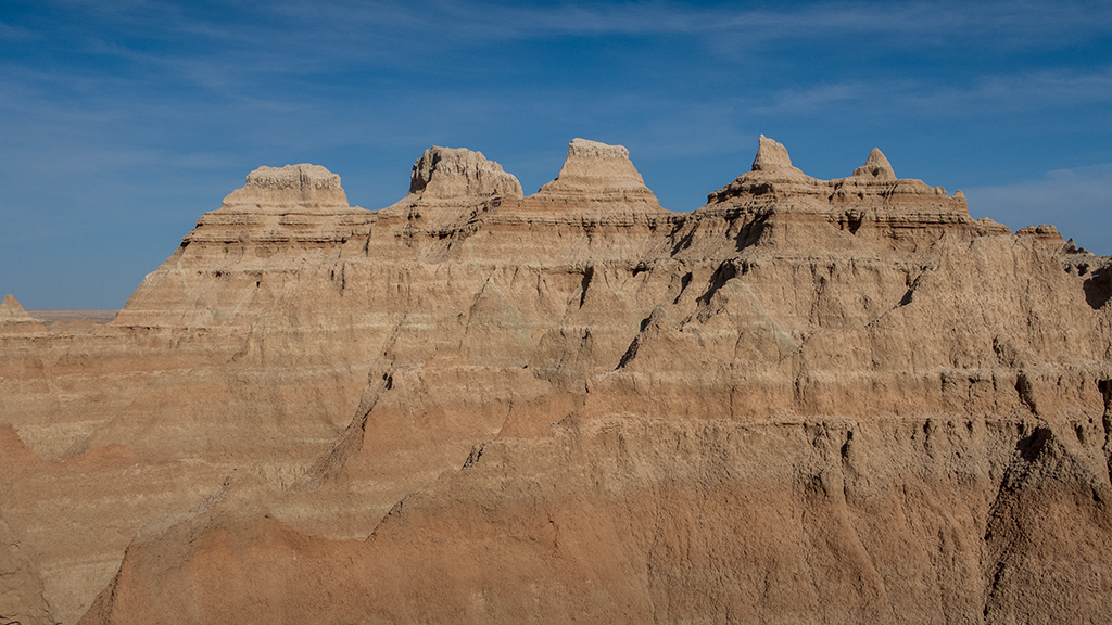
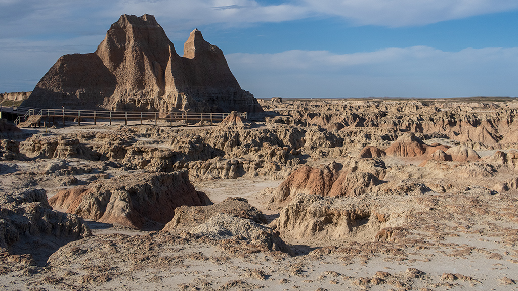
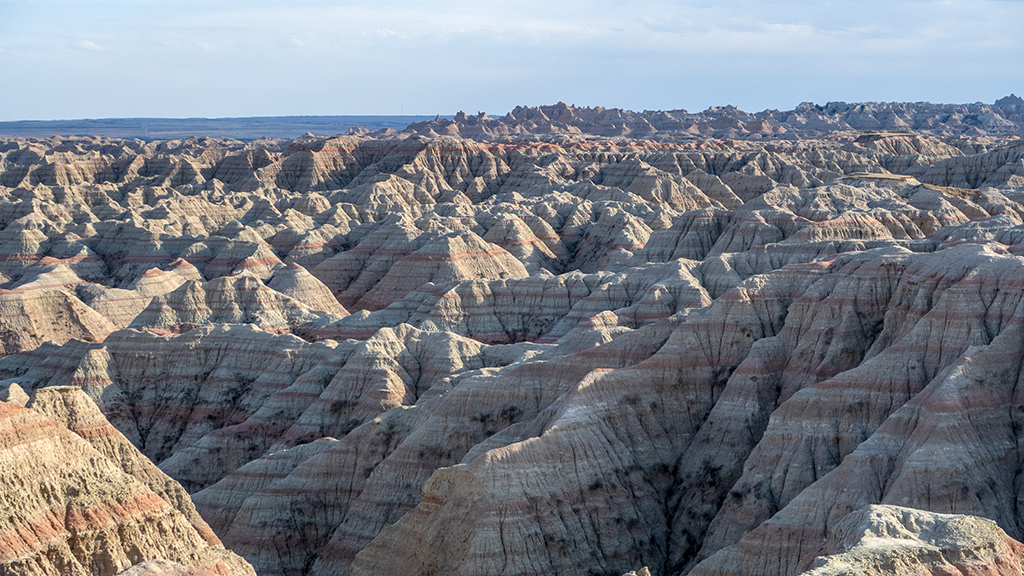
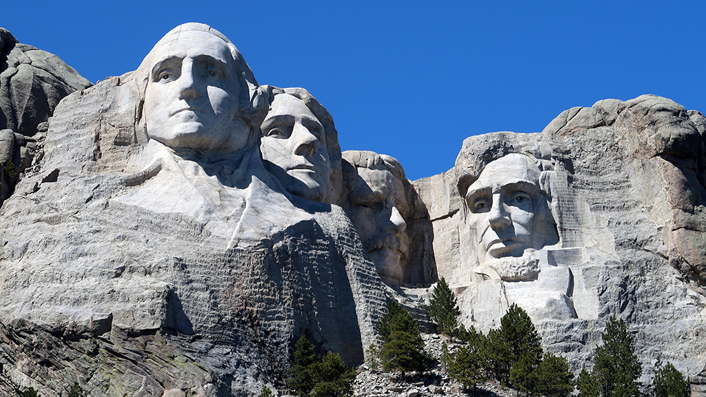
I read a majority of the informational posters and signs about the different kinds of rocks and learned a lot about how different rocks are formed, but be­cause I wasn’t already that familiar and knowledgeable about geology, I wasn’t able to retain all the precise details of each of these rocks are and what is special about them. For the sake of avoiding accidentally giving wrong information, instead, here is just a large dump of photos of rocks and formations that I thought looked interesting.


—§—


Hello, Wind Cave National Park in South Dakota

On my way from Scottsbluff, Nebraska to Rapid City, South Dakota, I took a stop at Wind Cave National Park, a national park a little north of Hot Springs, South Dakota. Ever since booking this segment of my road trip, I’ve been particularly looking forward to Wind Cave, as this would be the first time I would be spelunking—I regularly hike upwards onto mountains, but never downwards into the earth.

At the time of my visit to Wind Cave, it had only been one week into spring, so it was still considered off-season for tourism, and not all the ranger-guided tours were available. One of the tours that were available was the Fairgrounds Tour, rated by the National Park Service as “strenuous,” which is the one I selected.

The Fairgrounds Tour is a one-and-a-half hour walk through a large portion of the cave, allowing visitors to see many different aspects of the cave sys­tem. As of today, it is also the longest tour during which you are allowed to take photographs; the more difficult and involved Candlelight Tour and Wild Cave Tour both prohibit phones and cameras for safety reasons.

Self-guided tours are not permitted, and for good reason—Wind Cave is the densest cave system in the world, meaning it has the greatest passage volume per cubic mile, offering many opportunities to get lost and die alone without GPS or cellular signal.

Prior to the beginning of our tour, the ranger showed us a map that had extremely complex lines drawn in multiple different colors on top of each other (with the shade of color representing the vertical axis) and packed in a small space. At first, I thought that the map covered a large area and potentially even extended as far as the nearby Black Hills National Forest, but I later learned that the scale of the entire map was only one mile from one edge to the other.

We entered Wind Cave via elevator out of a special room. When we first went a few hundred feet underground, it was clearly extremely windy—the at­mos­pher­ic pressure changes causes extreme wind in Wind Cave—but once we actually entered the cave, we couldn’t feel the wind anymore.

I took a lot of photos during the tour, but note that I took them in camera raw format and heavily edited and enhanced them prior to posting them here. Wind Cave is extremely dim, which meant my camera had a lot of difficulty capturing clean, crisp images. (I took some photos with my camera’s flash on, but that didn’t really help either, because then that would just overilluminate nearby cave structures and leave far-away rocks still dark; I ended up not posting any photos from flash photography.)

Wind Cave is apparently the place with the most boxwork in the world—approximately 95% of the world’s discovered boxwork is inside Wind Cave. Ac­cording to the ranger, boxwork forms when cracks in soft rock are filled with a harder substance, and then the remainder of the soft rock erodes away, leav­ing behind the harder substance that takes a web-like shape.

Wind Cave has multiple different levels, and during this tour, we were able to see all of them. Water has extremely high erosive properties, and once we got to places where water did not have enough time to work on breaking down the rock, the cave was much smoother and had no boxwork.

We eventually made it to a resting point where the ranger told us about the history of the cave, and how the cave was originally used for mining, but was later converted into a tourist hotspot. While we were all safely seated, the ranger turned off the already-dim lights to demonstrate just how dark it is un­der­ground in a cave. She told us to hold our hand directly in front of our faces, which we obviously couldn’t see—there was literally no light, which meant that our eyes would never “adjust” to the darkness.

This area also had some nice frostwork. I tried to take a photo of it, and I captured a lot of cave popcorn, but I didn’t realize that the bulk of the frostwork was out-of-frame (except for a few growths at the far bottom). Again, keep in mind that everything was extremely dim, it was very difficult for me to see (considering I already have horrible eyesight and horrible night vision), and these photos are heavily enhanced in post-production.

As our time together came to an end, we started heading back to the elevator to return to the surface. On the way back, I snapped a bunch more pho­to­graphs of everything interesting around me, including nice rock formations and a lot more boxwork.

Exploring Wind Cave was a great experience. As if I wasn’t already aware enough, seeing things like this reminds me just how vast and complex the world is, and gives me a reality check of how unimaginably tiny my life is compared to the scale of everything else happening. It also acted as a reminder not to get complacent about my safety and the fragility of life—nature doesn’t hold your hand and help you survive like modern-day civilization does, and it’s very easy to stumble into an unfortunate situation that kills you.

 
On my way from Wind Cave National Park to Rapid City, Google Maps decided to route me through 7-11 Road because it was the fastest way to my des­ti­nation, without informing me that it was a dirt road. I was fine with it, though; my truck handled it just as well as a regular road, and I made a new friend along the way.


—§—


Hello, Scotts Bluff National Monument in Scotts Bluff County, Nebraska

After my stop in Cheyenne, Wyoming, my next destination was planned to be Rapid City, South Dakota. The drive is around four and a half hours, which isn’t that bad—that’s about the time it would take me to drive from Las Vegas to Los Angeles if there was normal traffic conditions after entering the Los Angeles area—but I still wanted to see if there were any opportunities to split up that drive across two days.

Upon searching for available hotels along the route, I noticed that there was a Fairfield Inn and Suites by Marriott in Scottsbluff, Nebraska. Upon closer inspection, I realized that the Scotts Bluff National Monument was also nearby west of Gering, a city in Scotts Bluff County. I decided to spend one night in Scottsbluff, then scheduled a stop at the Scotts Bluff National Monument on the day I drive in, and another stop at another nearby national park on the day I drive out.

Just as a quick disclaimer, I want to point out that I am not making any typos when it comes to these location names. The national monument and the county are called Scotts Bluff with a space between the two syllables, while the city name is Scottsbluff as a single word. Funny enough, Google Maps also has a point where, driving from the national monument to the city, you would take Old Oregon Trail, turn onto Nebraska Highway 92, and follow signs for “Scottebluff” … but I think that might just be an error on Google Maps, as I wasn’t able to locate any signs that replace Scottsbluff’s “s” with an “e.”

Scotts Bluff National Monument was a fairly small and straightforward national monument. Admission was free, and upon entering, you had two op­tions for exploration: you could either park at the bottom and hike your way up to the top, or you could take the Scotts Bluff Summit Road via ve­hi­cle. I decided to do both.

Because of the shape of the National Monument, the hiking route started as a paved trail that stretched far outwards to the northeast, cutting through Scotts Spring.

Around that area, I was able to find some wildflowers, though they weren’t exactly the kind of flowers you’d see elsewhere, and I also wasn’t exactly sure whether or not they were still alive.

For a bulk of the first part of the hike, I thought the trail was relatively timid, but after making it more than halfway to the summit and looking back, I realized that the path was actually somewhat carved in the side of the mountain, and the drop off the edge was a lot steeper than it felt when I was walk­ing through that area.

Eventually, I made it to a tunnel that cut through the rock and opened a pathway to the other side of the mountain.

The other side of the tunnel had a lot more vegetation and opened up views to the northern side of the mountain, which were previously hidden by the mountain itself.

After some hairpin turns and a few steeper climbs, I made it to the North Overlook at the summit and was able to enjoy nice, sweeping views to the north, specifically of Scottsbluff, Terrytown, and the North Platte River.

On my way back down the trail, I decided to snap a photo of the tunnel through the mountain. At the time of the photograph, it was so bright outside and so dark in the tunnel that it just looked pitch black in the tunnel, but I was able to extract a lot from the raw sensor data from my camera. There were three tunnels in the vehicular route to the top as well, but this hiker tunnel had a lot more interesting detail to the texture of the rock.

On my way down, I also snapped a photo of a rocky ridge that had signs instructing people to stay on the trail and avoid going off course (i.e., on the ridge) due to high risk of falling. I’m not particularly the biggest fan of randomly falling off a mountain and dying, so I heeded that warning.

After making it back down to the vis­i­tor center, I got in my truck and took the scenic drive back up to the top of the monument so I could see the three other tunnels and the South Overlook as well. I could’ve just walked from the North Overlook to the South Overlook as part of my hike, but I saved the South Overlook for my drive so I could use it as a “reward.” The South Overlook had some nice mountain views, as well as a view of the vis­i­tor cen­ter and the first loop of Scotts Bluff Summit Road leading into the first vehicular tunnel.

The walk from the parking lot to the South Overlook wasn’t recorded on my GPS, and I also started tracking a little bit late, but overall, my total hiking distance was a little bit over three and a half miles.

I’m glad I stopped by Scotts Bluff National Monument. It obviously isn’t exactly the most impressive or stunning national monument or national park I’ve ever been to, but it has its own charm with its relatively small size. As a tourist, you’d be able to see everything there is to see in one single visit of a few hours, but with free admission, I feel like this national monument is more used as a regular exercise area for the residents of Scotts Bluff County, being only about a ten minute drive from central Gering.


—§—


Investment allocation breakdown for 2022 Q1

Happy April Fool’s Day—that means it’s time for another investment allocation breakdown. Yes, all of the information in this breakdown is accurate; no, there are no April Fool’s jokes in these numbers.

As of last month, it has been one full year since I’ve done investment breakdowns. Out of all the quarter-over-quarter breakdowns, I think the first quar­ter of the year is going to be the most interesting with the greatest number of changes, because the beginning of the year is naturally the time when I spend the most cash on investments, considering that calendar-year restrictions obviously refresh on January 1.

Keep in mind that this is a series, and I’m trying not to repeat information post-over-post, so you may not be able to get a complete picture of my in­vestment portfolio unless you go back and read the previous installments.

And of course, like usual, a disclaimer: I am not a registered investment advisor, and even if I was, I wouldn’t be your investment advisor; to you, I am noth­ing more than a blogger on the Internet writing personal anecdotes on his website. I am in no way suggesting or implying that you should copy my strategy; everyone’s situation is uniquely different, so you should consult and hire a certified professional if you need guidance with your own financial planning.

Cash

As expected, my cash balance has had the most significant decline from the previous quarter, as I’ve used a large portion of it to buy investments during January. I personally think that, if you don’t have a clear plan for your cash balance, then you should hold as little cash as possible; the allocation I have towards cash right now (as opposed to previous quarters) is a lot closer to what I think is rea­son­a­ble and ideal for my situation.
  5.84%

Domestic total market index funds

Very few changes here—this is approximately the same amount of money as last quarter (minus the market changes, obviously), with the exception of purchasing additional shares of FZROX via a maximum 2022 contribution to my Health Savings Account.

 26.08%

International total market index funds

There are no changes to my international index fund allocation, except for the fact that the international market has been the worst-performing holding in my portfolio for a while now. I’m not discouraged, though; this may be a decent opportunity to buy more while it’s low.

  7.37%

Target retirement funds

As the “set it and forget it” segment of my portfolio, I had a noticeable jump in target retirement funds because I maxed out my 2022 Roth IRA contribution, put a large chunk into my 2022 SEP-IRA, and rounded out my 2021 SEP-IRA contribution after doing my tax­es and calculating the exact tax-year limit.

As a reminder, I categorize this separately because target retirement funds are self-adapting in composition. If you’re curious what mine specifically are made of, I generally split my contributions almost evenly between VFFVX and VTTSX.
 24.75%

Real estate investment trusts (REITs)

No changes.

 16.45%

Bonds

I went into far greater detail about this in a recent finance blog post about investing US$10,000 into individual companies as a com­pe­ti­tion with my friend Doug Wreden, but I personally do not think the stock market is going to do well over the next year. Be­cause of this, I’m more willing to turtle up with bonds and other safer investments. I added onto my bond balance again this quarter, and will most likely hold onto them until the next recession cycle is over, at which point I will exchange them for higher-risk in­vest­ments a­gain.

  8.17%

Precious metals

Following a similar spirit as the above, I invested in precious metals for the first time in my life this quarter. I did some light research about them, and although I still don’t really understand the nuances of metals investments yet, I still figured it’s a good way to di­ver­si­fy my portfolio.

I do a majority of my investing with Vanguard, but I have a Fidelity account for the things that Vanguard doesn’t offer—namely, a Health Savings Account and a Charitable Giving Account. A good precious metals fund also appears to be something Van­guard doesn’t offer (the Global Capital Cycles Fund seems to be the closest thing, but that only invests about a quarter of its funds into precious metals), so I decided to use my previously-dormant individual brokerage account under my Fidelity profile to purchase FSAGX.

  2.00%

Cryptocurrency

The best thing about my cryptocurrency investment so far is the fact that I was able to use it for maximum tax loss harvesting in 2021. Apart from that, I’m just holding onto it, terrified to buy more in case it keeps crashing, but also concerned that “cutting my losses” now will result in cryptocurrency rebounding and becoming mainstream and running away with all my potential profit.

  6.99%

Speculative stocks and individual companies

I decided to purchase some more individual securities, namely in Cloudflare and T-Mobile, both companies that I believe in and have personally been using for a while now. There were some dips in the prices of both stocks over the past quarter, so I took advantage of that opportunity and grabbed some shares on sale.

  2.35%

Notably missing from this breakdown, like usual, is my equity ownership of Tempo, as revealing that would likely heavily skew percentages and also potentially implicitly reveal some of the company’s confidential information.
Another thing that is missing here is the $10k I spent on stocks in the competition with Doug, the blog post for which I linked above in the “Bonds” section. I don’t have a particular reason for not including it—I just happened to forget about it, as I have those stocks held in a separate account, and it takes a lot of work to add together all the numbers and calculate percentages, so I didn’t want to bother redoing all the work… heh.
 

Edit (April 5, 2022):

Speaking of the competition with Doug, I haven’t posted an update about our progress since a week after we did the initial stock purchases, so I decided to edit this blog post and throw in some tables and a chart to show how our picks were doing.

As of the end of the market trading day today, my portfolio is valued at $10,536 and Doug’s portfolio is valued at $10,433. For comparison, if we had in­vested into an S&P 500 broad index fund instead, the portfolio would be worth $10,441.

One thing to keep in mind here is that the stock market is fairly volatile right now, and with our portfolios having only ten and eleven companies, there can be huge fluctuations in a matter of days. In fact, I’d say it’s mostly luck that I happen to have the highest portfolio balance today; for a good chunk of the past month or so, it was Doug whose portfolio value was beating not only me, but the S&P 500 as well.


—§—


Hello, Hidden Falls at the Curt Gowdy State Park in Cheyenne, Wyoming

I wanted to get in a hike in Cheyenne before heading out for my next destination, but I noticed that a lot of trails near the city were just greenways that connected different neighborhoods. After expanding my search radius, I came across Curt Gowdy State Park, a state park about half an hour west of the main city of Cheyenne.

I was anticipating doing a quick hike out to and back from Hidden Falls, but long story short, the quick hike ended up on the not-so-quick side.

I successfully found my way to the parking lot and the trailhead. Unfortunately, although the trails were actually pretty well-marked for off-road vehicles, they were almost not marked at all for foot hikers. Because of this, I just found a trail and started walking, and it ended up being in the wrong direction.
After occasionally taking a peek at my GPS (which was difficult, because there was extremely poor signal out there), there came a point where I realized that my trajectory was way too far off from Hidden Falls, so I retraced my steps and found a different path I could take. That path also ended up being in­correct; I made it much closer to Hidden Falls, but it took me to the foot of a mountain and Middle Crow Creek, and it wasn’t very realistic for me to attempt to cross the creek into forest and try to climb straight up a mountain without realizing where it would take me.
Eventually, I found my way onto the correct path, and after already having hiked about halfway or so down the trail, I saw a sign that said “To Hidden Falls,” even though this was now a straight shot to Hidden Falls and there was no possible way I could miss it.

Maybe if the person who nailed this sign to the tree was using both halves of their brain on that day, they may have come to the conclusion that the sign would have probably been far more useful and effective at the initial three-way fork in the road.

Once I got closer to Hidden Falls, the trail got much better. There were bridges in areas that were difficult to navigate, and even though there was a lot of snow and ice covering the path, there were enough footsteps in the snow from previous hikers trafficking the route that it was easy to see where to go next.

Eventually, I made it to Hidden Falls and realized that the waterfall was completely frozen over.

I’m actually fortunate that I wasted about an hour and a half roaming around in the wrong area, because that made it so the timing lined up where I met some ice fishermen at the waterfall. If I remember correctly, their names are Angel and Alex, and the guy pictured below goes by “Everyday Pikachu Hat Fisherman” on YouTube. Apparently the ice was extremely deep, and they actually had some success catching fish.

After enjoying the view, carefully sliding around so I wouldn’t get a concussion from slipping on the ice, and then making it back to the parking lot, I drove back onto Granite Springs Road and took a detour into the Happy Jack Camp­ground and shot a nice view of the Granite Springs Reservoir.

I’d say that, even though the hike ended up about twice as long as I was anticipating due to my poor navigation, it was ultimately a success. The scenery was great, the air was fresh, and the frozen waterfall was very intriguing. I also enjoyed meeting the ice fishermen and watching them fish—I’ve seen pho­tos and videos of people ice fishing online, but I never expected to be able to see it in-person, especially without having to go to somewhere like A­las­ka.

Continue reading


—§—


Yes, I’m still alive; and hello, Cheyenne Depot Museum in Wyoming

It’s been almost precisely two weeks since my last blog post, which I understand can be a bit jarring, considering I had previously been blogging once every few days with new travel updates. I’ve had a few people message me to make sure I’m still alive and didn’t randomly fall off a mountain in Colorado; I highly doubt I would be clumsy enough to put myself in a situation where such a thing would happen, but regardless, I appreciate the con­cern.

Since leaving Utah, I made my way across Colorado and made a few stops, specifically in the Grand Junction, Denver, and Fort Collins–Loveland areas. As a whole, Colorado is probably my favorite state, but my two weeks spent in Col­orado this time around wasn’t exactly that exciting, for a handful of reasons:

  1. I was going to split up my trip some more and spend some time in the mountains, but I failed to realize that it still regularly blizzards in the Col­orado mountains in March, so I had to shuffle things around as to not have to drive across the elevation changes of I-70 in a snowstorm. I end­ed up going straight from Grand Junction to Denver in a single drive on a day that I knew would be dry.

  2. Even not in the mountains, it still regularly snows in Colorado in March, so I got snowed in on more days than I would have liked. Hiking is a bit difficult in the snow, and even when it’s not snowing, the below-freezing temperatures turned a lot of the hiking trails I wanted to visit into ice skating rinks. Yes, I could’ve done some indoor tourist activities, but I mostly just didn’t want to bother taking the risk of driving through several inches of snow, getting in a collision, and getting stuck. That’s already bad enough for a normal person, but it’s especially bad when you’re a nomad living out of hotel rooms and heavily reliant on your vehicle.

  3. Tempo Games is staffing up really hard right now with our new Series B investment funding in order to ramp up production on The Bazaar. That means that I, as the one who handles all of corporate operations, am overloaded and buried in work. Not only do I need to take care of post-in­vestment legal tasks, but I also need to handle all the human resources and legal aspects of all our new hires. A majority of the past two weeks have been spent working inhuman hours in an attempt to keep the company moving.
  4. In the little free time that I did have, I decided to relax and rest up for a bit, considering I had just visited three major national parks and gone on a handful of good hikes. I caught up on some Final Fantasy XIV content, read some ebooks, and took my truck in for an oil change and routine maintenance. It was nice leaving the blinds open, turning on a virtual fireplace on the hotel TV, turning on a dim light, and staying cozy indoors while watching the snow fall outside.

 
After the fairly uneventful stay in Colorado, I made it to Cheyenne, Wyoming. For my first activity of the city, I decided to go to the Cheyenne Depot Museum. When I first arrived in Cheyenne, my hotel asked for a bit more time to clean and get my room ready, as they were sold out the previous night due to… you guessed it, an unexpected snowstorm that shut down interstates.

While waiting for housekeeping to wrap up, I was originally planning on going for a walk on a local greenway, but decided against it because of how windy it was. Instead, I decided an indoor activity would be better, and thought it would be a great day to learn about trains, which apparently is some­thing that Cheyenne is notably known for.

The location of the museum was actually quite convenient, as if you were patient, you would be able to see real trains crossing on the train tracks di­rectly behind the museum. There were no decommissioned trains in the museum itself, so this was actually one of the only ways to see a real train at the train museum—which is unfortunate, but reasonable, as having a worthwhile display of real trains would mean the scale of the museum would have to be astronomically larger.

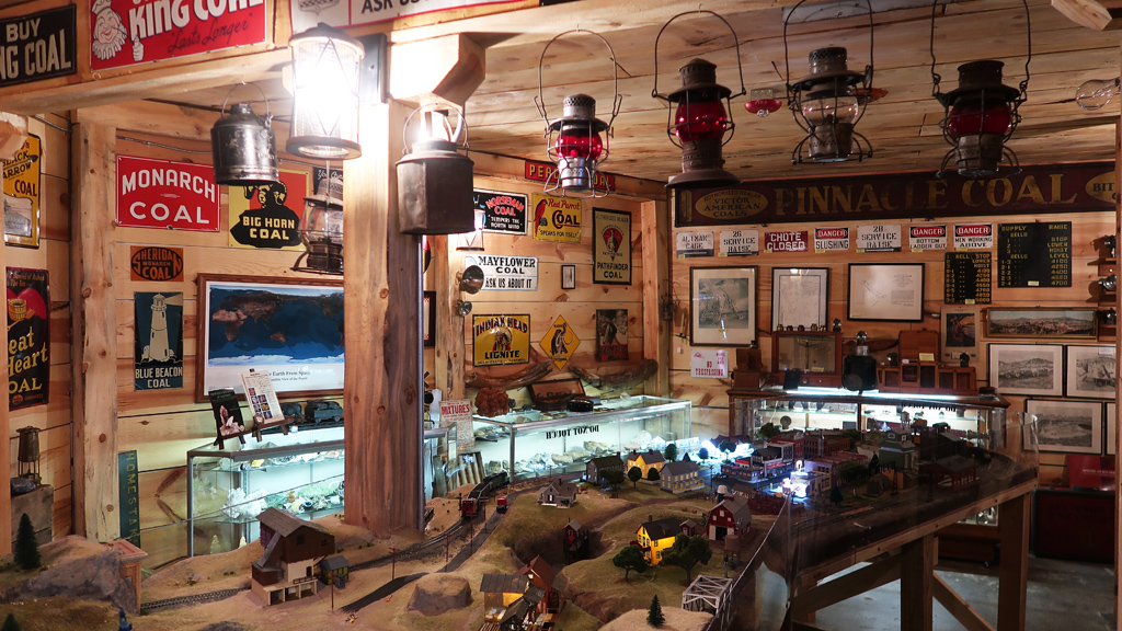
One of my favorite things about the museum was the model train exhibit on the second floor. Unfortunately, the actual model train didn’t appear to be operating, but the display itself was still very impressive—it had great attention to detail, and according to some of the labels, it appears like it was mod­eled after real areas that were symbolic and significant to the train industry.

With the time that I’ve spent in Cheyenne so far, I think it’s actually a surprisingly nice and pleasant city.

Downtown Cheyenne feels like a suburb in the metropolitan area of a larger city. Everyone I’ve encountered was very kind (which tends to be a char­ac­ter­is­tic of less-populous areas in general), the drivers are respectful and non-aggressive, it’s still large enough that all the major chain stores and res­tau­rants are still conveniently present, and the air quality was pure.

Another intriguing thing I noticed about Cheyenne was the heavy police presence—every time I would drive out, I would see several law enforcement vehicles on the road. I imagine a small city like Cheyenne doesn’t have much crime, so it appears like Cheyenne takes a very patrol-oriented and com­mu­ni­ty policing philosophy, ensuring that they have good active coverage of the city to ensure that it remains peaceful.

The last time I was in Wyoming, I drove across Interstate 80, spent some time in Rawlins, then connected onto U.S. Route 287 from Laramie and headed down to Fort Collins, so I didn’t have an opportunity to visit Cheyenne. This isn’t going to be my last stay in Wyoming either—I’ll be skirting around Wyoming to visit Nebraska and South Dakota, then cutting back through the northeastern corner of Wyoming again on my way to Montana.


—§—