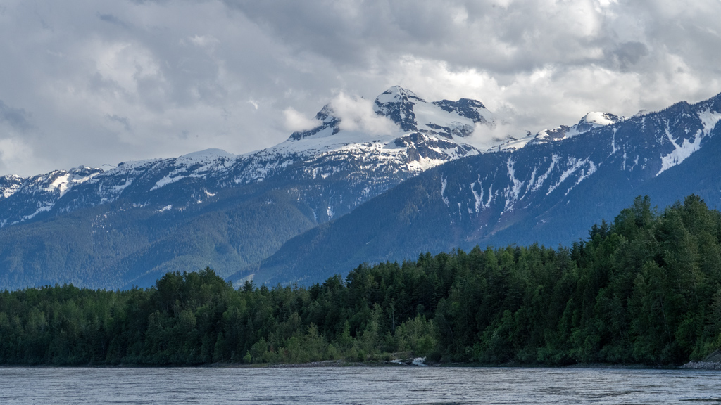
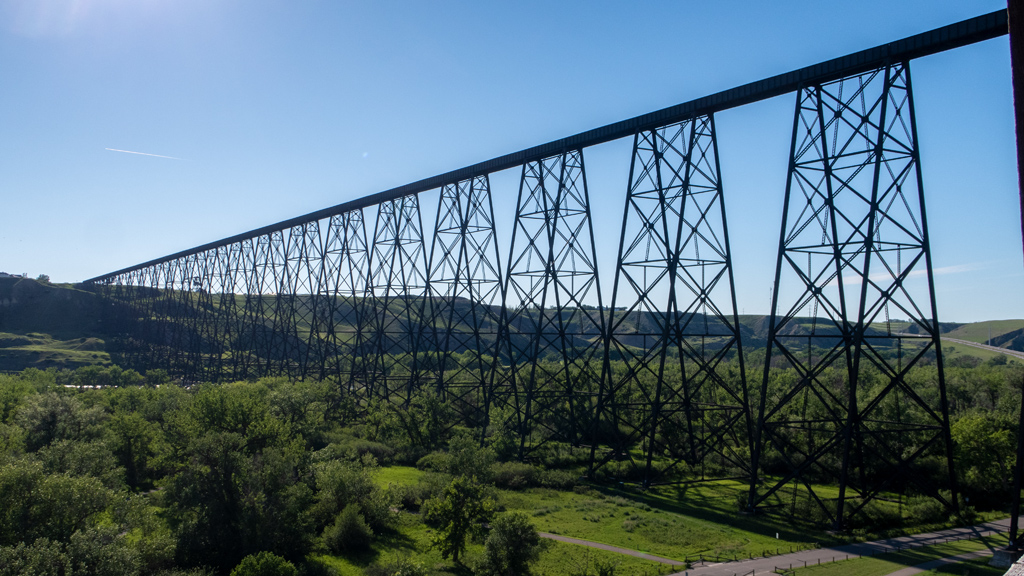
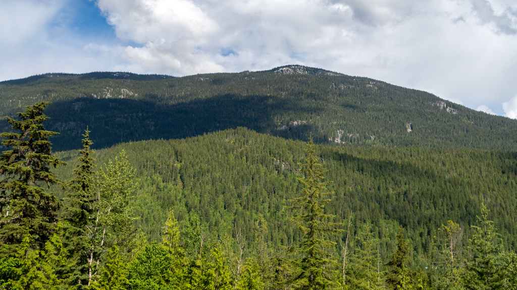
To put it simply, visiting Canada has been an amazing experience so far. I will have a dedicated blog post about traveling into Canada and my long-term stay in Calgary, but until then, here’s a hike I did near Boulder Mountain in Revelstoke, British Columbia, one of the stops I made along the way to Calgary.
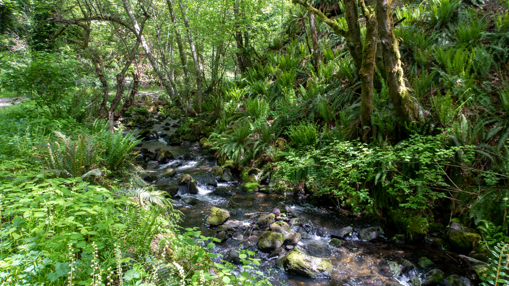
I started the first trail on Westside Road at the base of Boulder Mountain, just before the bridge across the Jordan River where it meets with the Columbia River.
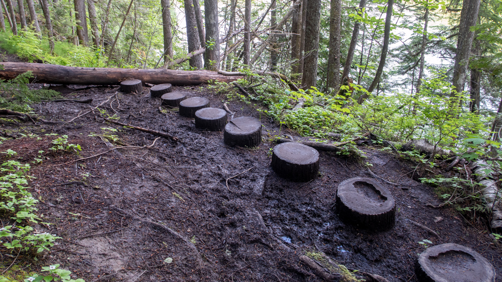
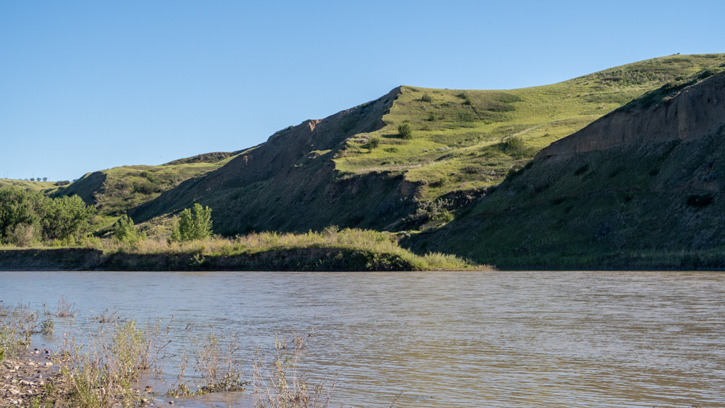
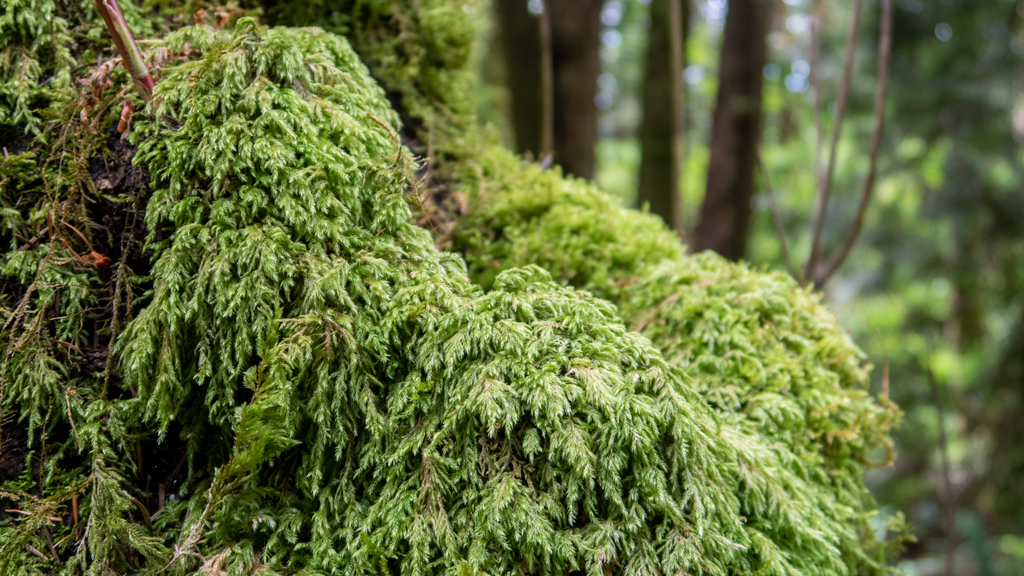
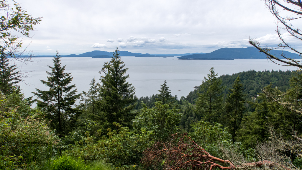
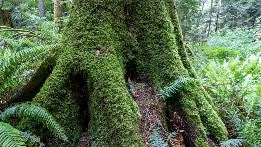
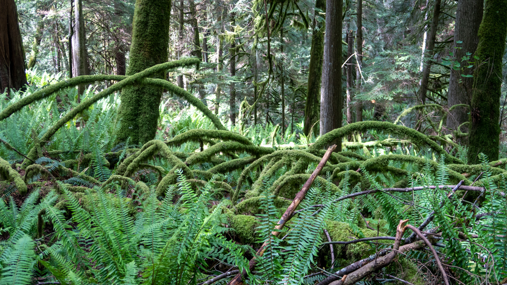
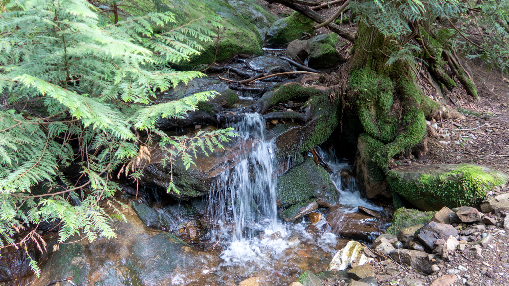
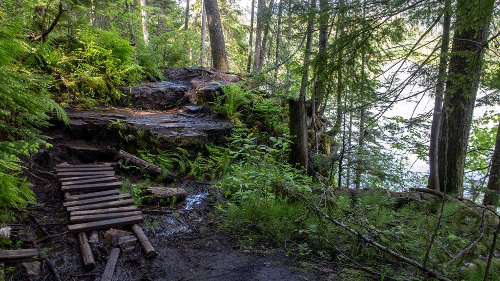
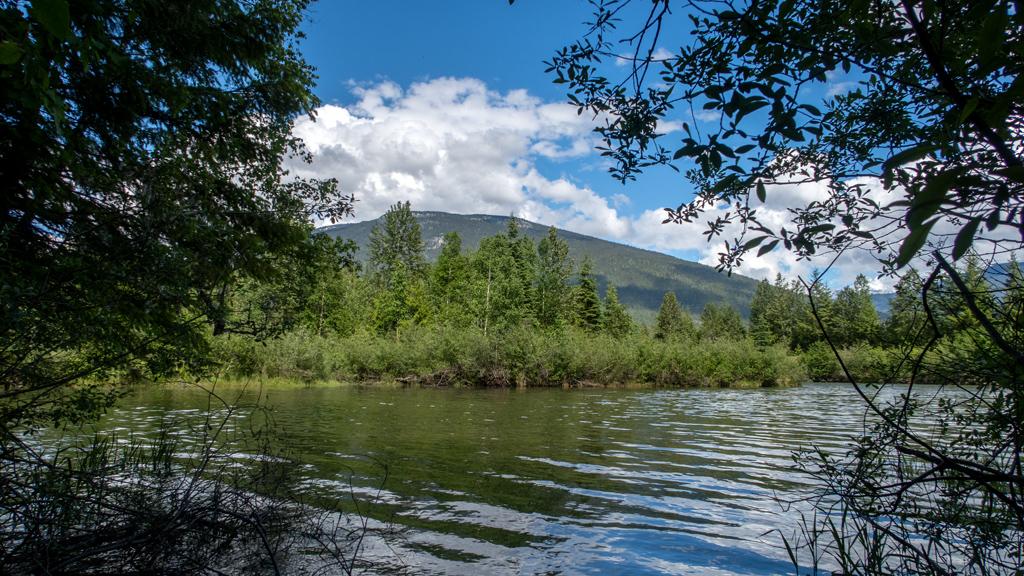
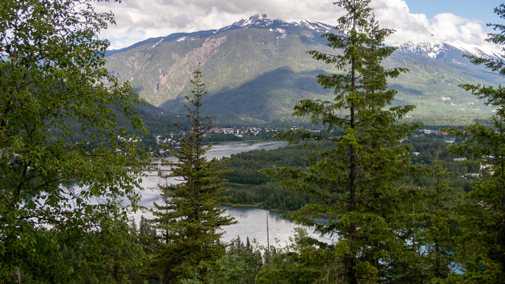
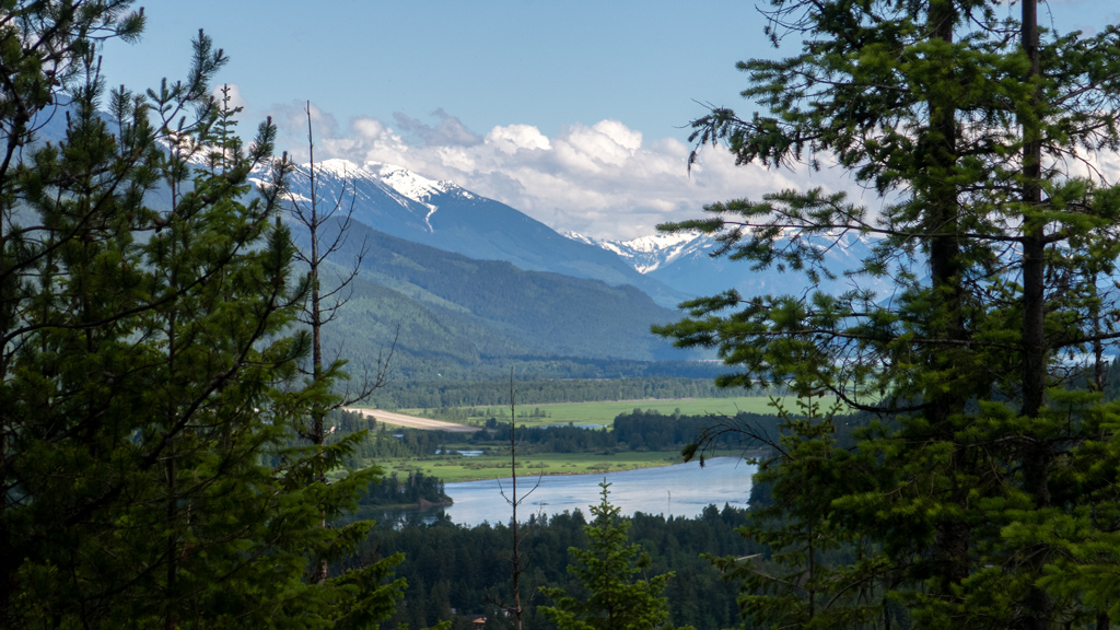
Some areas were still muddy, but because of bridges, tree stumps, and tree trunks that I could walk on, it wasn’t too difficult. After about a fifth of a mile, I arrived at a clearing where I was able to get a nice view of the Jordan River.
From here, I got a bit confused and thought that it was already the end of the trail… which made no sense, because I had looked up this hike on AllTrails prior to arriving, and it was at least a mile and a half. I started wandering around in confusion, going off-trail to find where the path was, until I noticed a long rope coming down from a cliff.
Hikers on AllTrails had marked this as “easy,” so I questioned whether climbing the rope up the cliff was the correct path. Fortunately, as I was looking around for an answer, a family of hikers coincidentally arrived at the same time. They had previously done this hike before, so they confirmed that the correct path forward was to climb the rope, and they demonstrated that the rope was indeed sturdy enough by climbing up themselves.
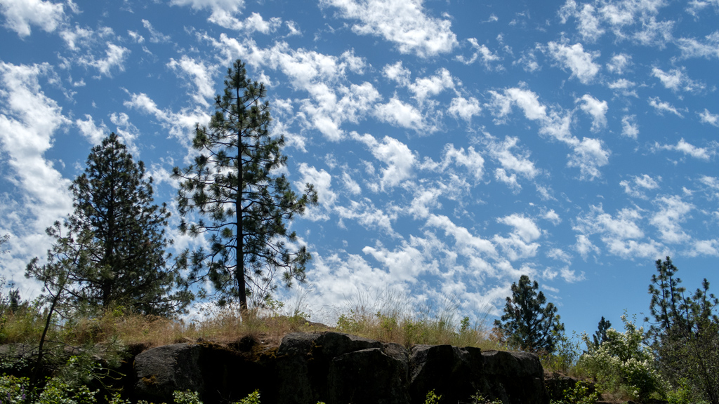
The rest of the trail up wasn’t too bad—it was steep enough that I would get out of breath if I went too fast, and some areas were pretty muddy, but I made it to the summit without any further issues.
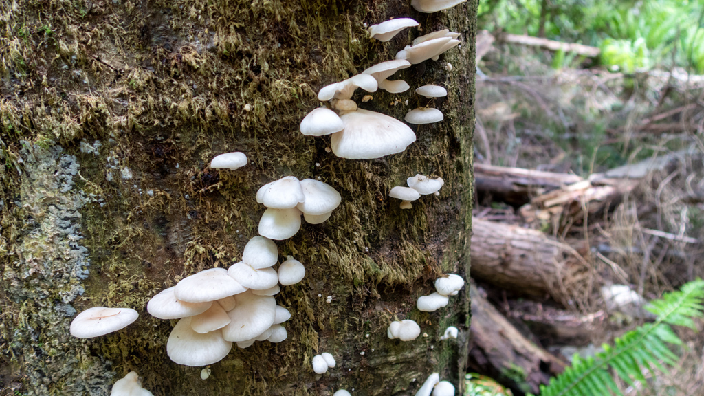
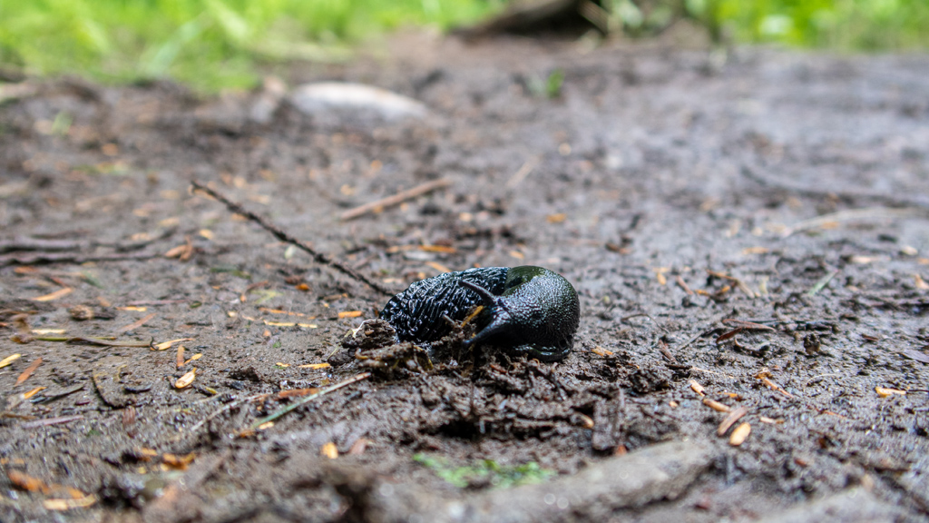
On my way back down, I found a slug (and, considering how bad my eyesight and depth perception is, I’m impressed at myself for noticing it and not stepping on it).
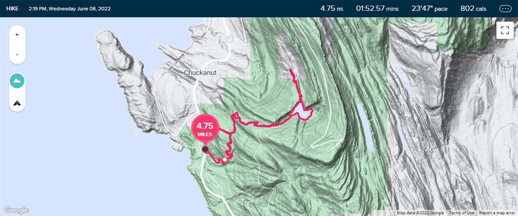
Because this was a relatively short trail at about 1.5 miles (2.4 kilometers) round trip with about 620 feet (189 meters) of elevation gain, I continued driving northbound on Westside Road to a second short hike.
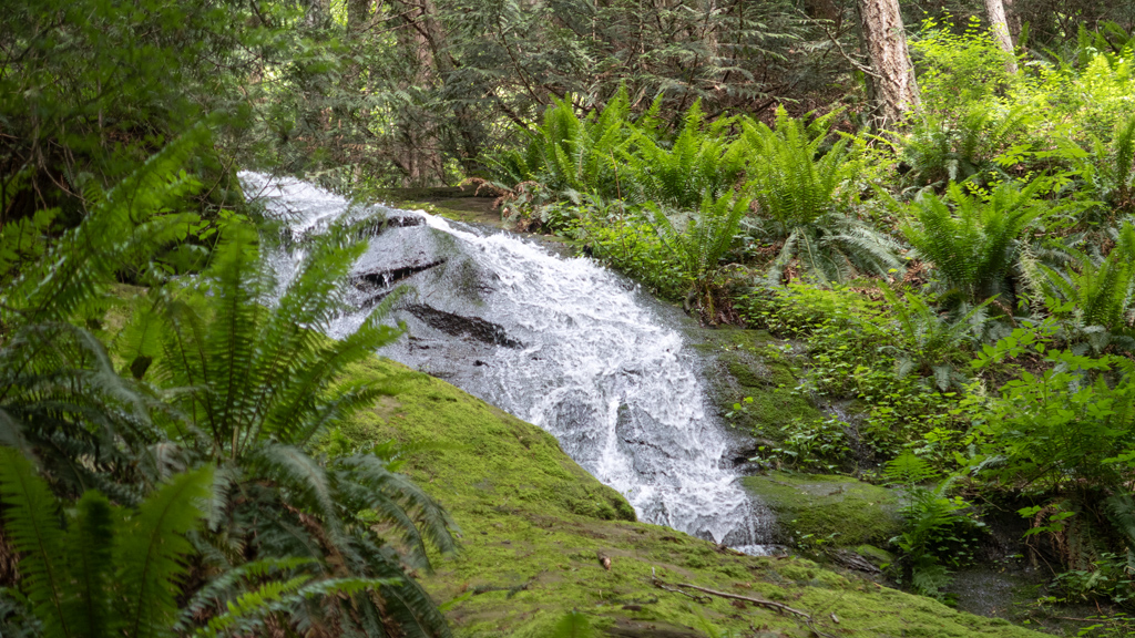
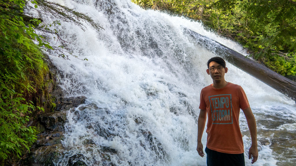
I eventually made my way to a parking lot near Moses Falls. Part-way to the waterfall, I met a nice older lady who was trying to get to the waterfall because she saw it on Google Maps, but was a bit concerned that she would get lost and not be able to make it back up the relatively steep terrain. My presence there instilled enough confidence in her to follow me to the waterfall, where she asked me to take her picture, then offered to take mine.
She retraced her steps back to the parking lot, while I went deeper down towards the base of the waterfall.
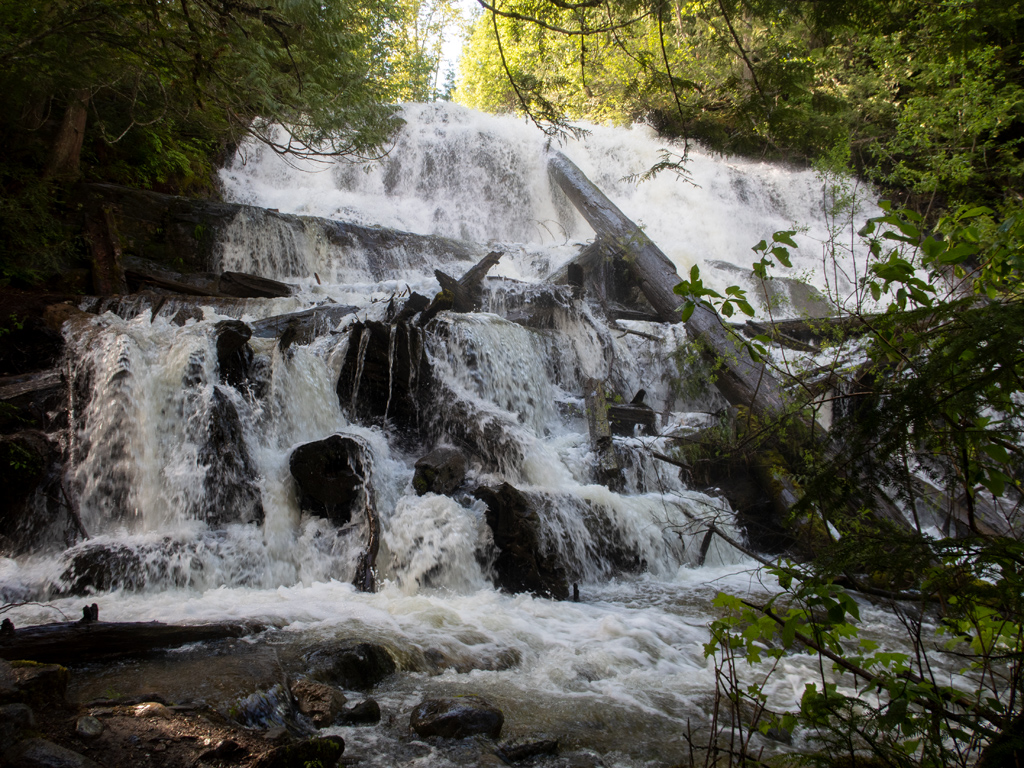
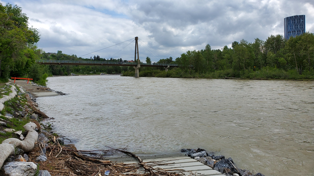
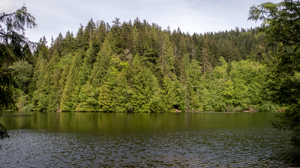
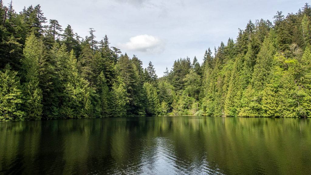
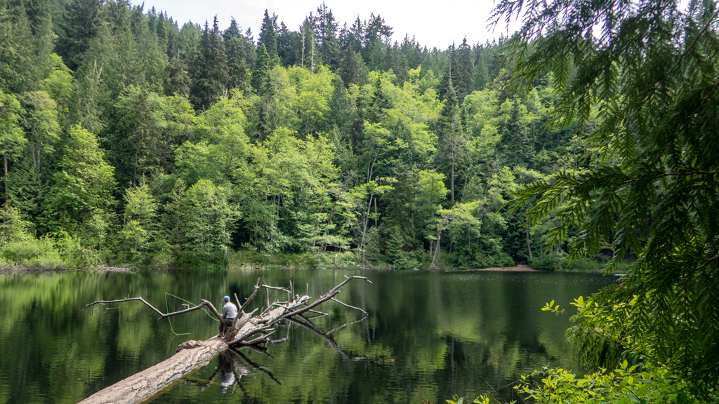
Eventually, I made it to the bottom where the waterfall emptied into a small reservoir that connected into the Columbia River.
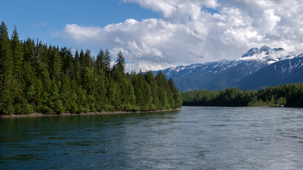
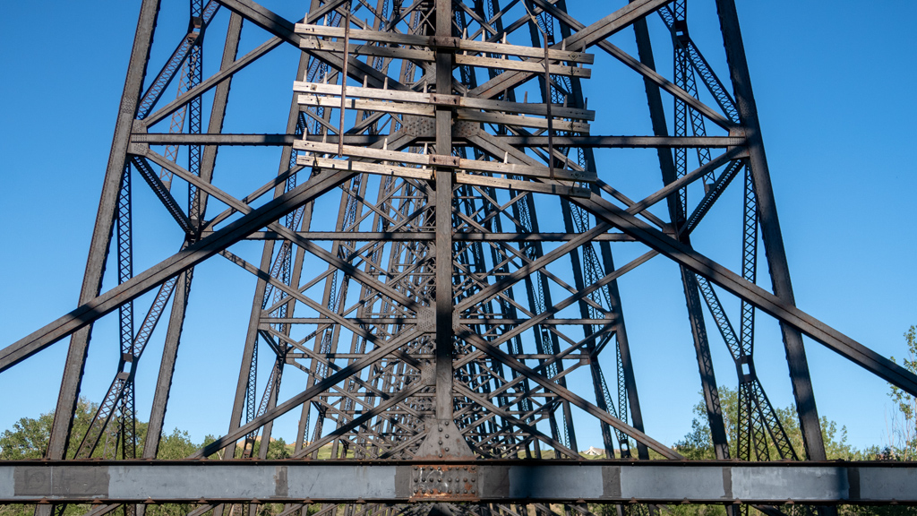
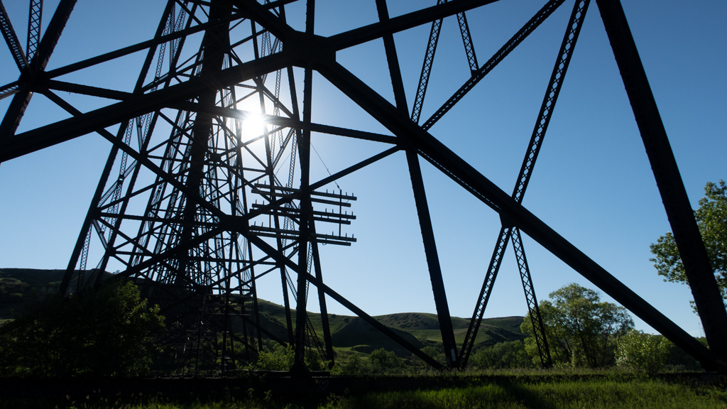
To the northeast of the Columbia River, I could see where it passed through the Revelstoke Hydroelectric Dam.
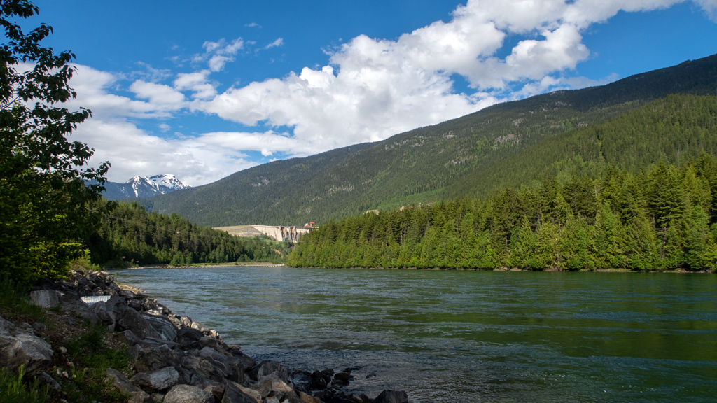
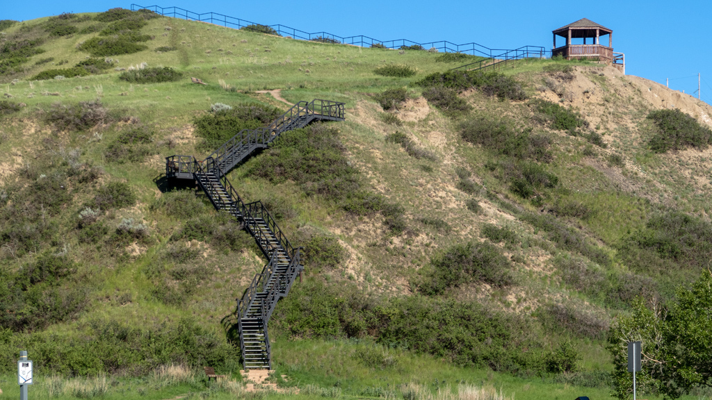
Unfortunately, because I went on this hike after I had already spent the day driving from Kamloops to Revelstoke, it was later on in the evening, and the Revelstoke Dam Visitor Centre was already closed.
When I plan out what cities I visit and for how long, I usually go by hotel prices to ensure that my travel is as cost-effective as possible. However, after traveling through this area, I’m realizing the major flaw in that strategy. Especially during the summer months, the nicest, mountainous areas in the north attract a lot of tourists, resulting in relatively high hotel prices. However, I think the high lodging prices are worth it for the great experience exploring these areas.