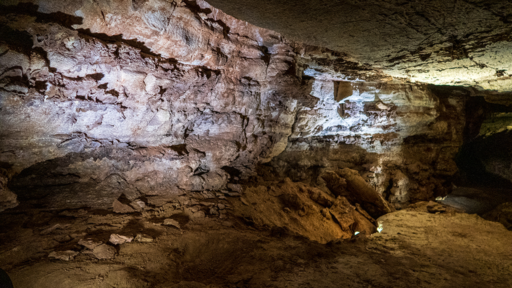
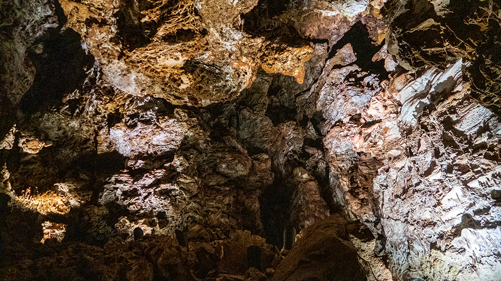
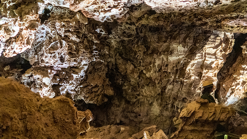
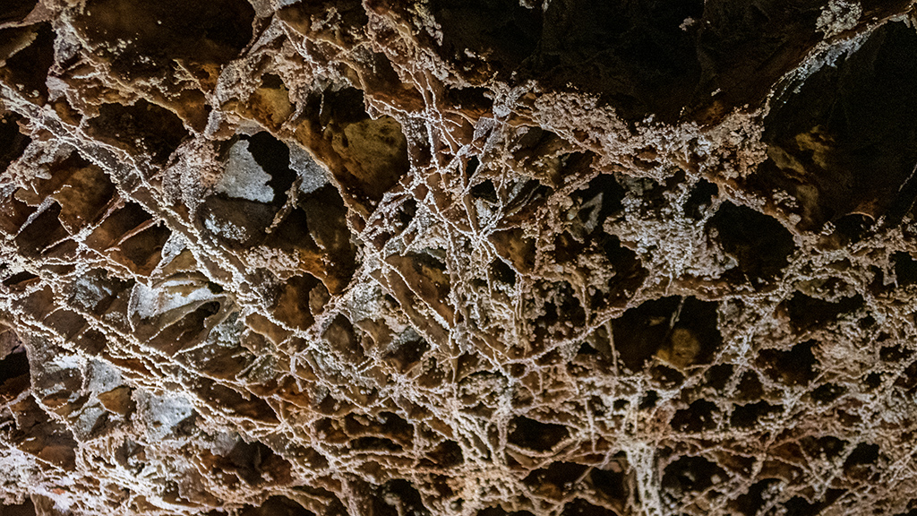
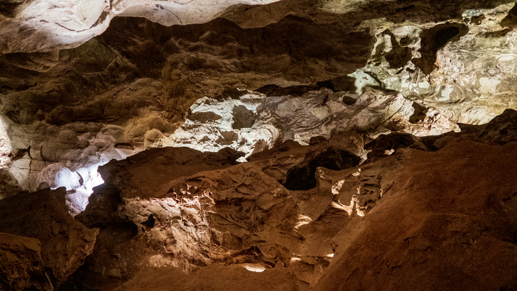
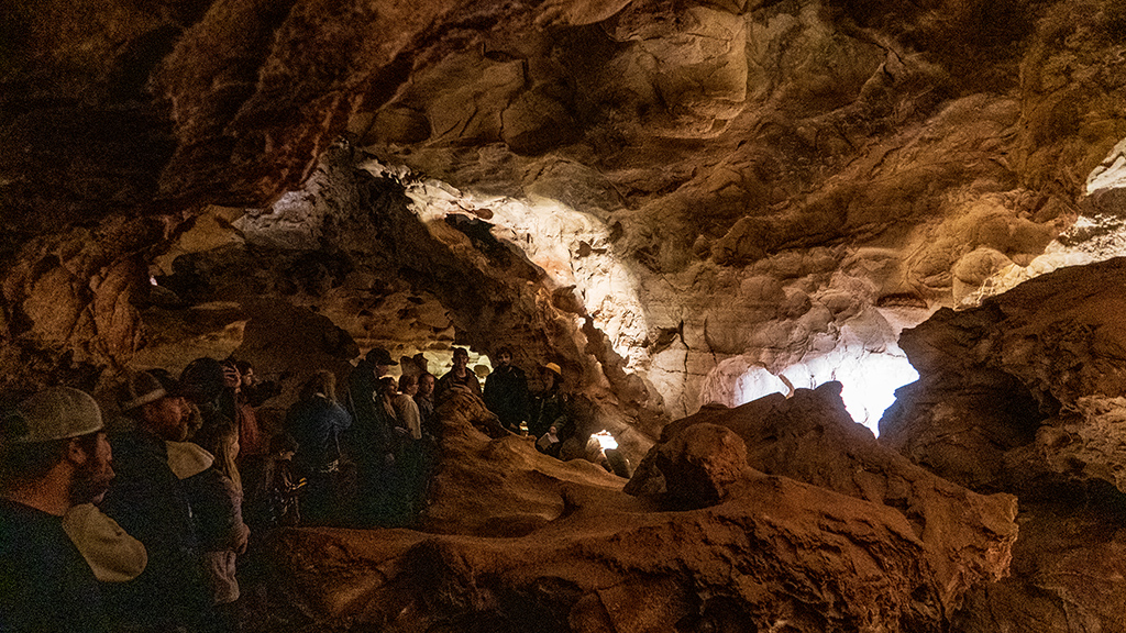
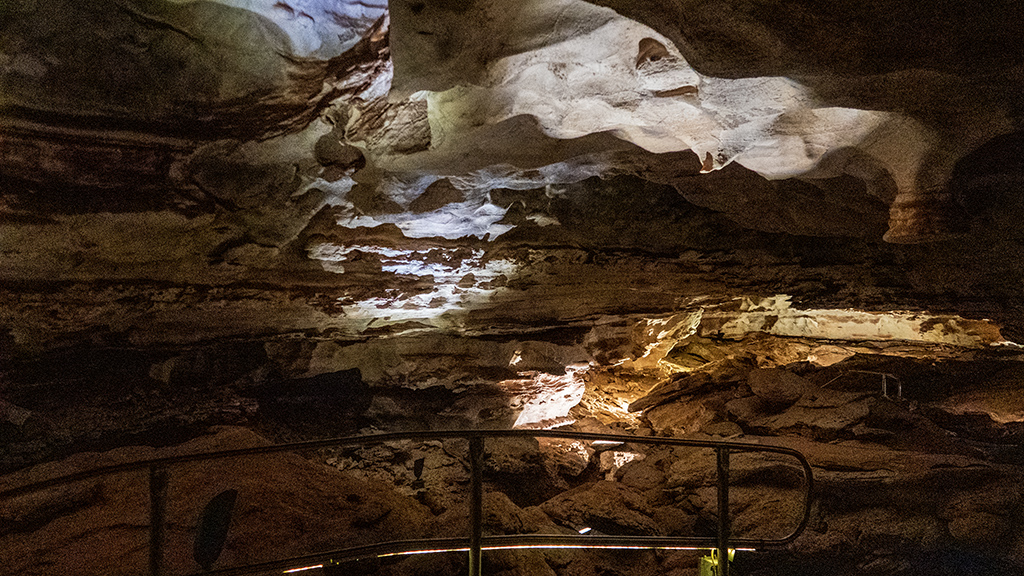
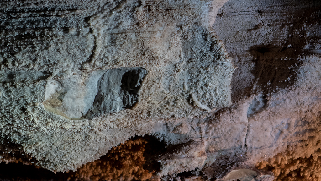
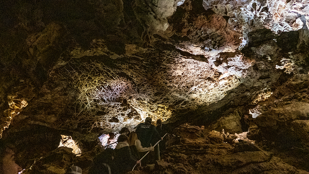
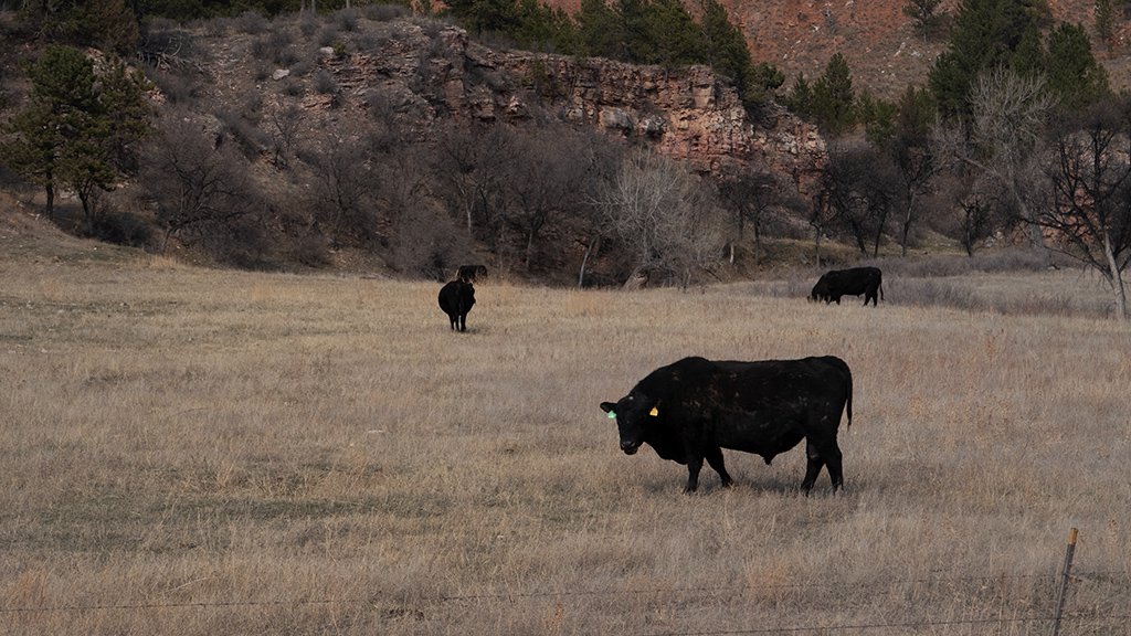
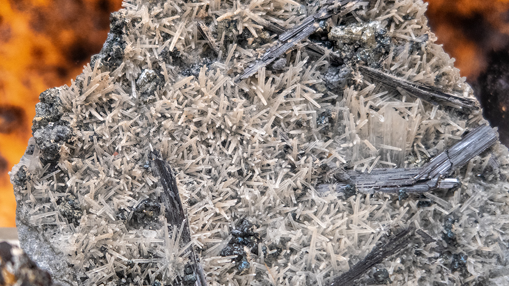
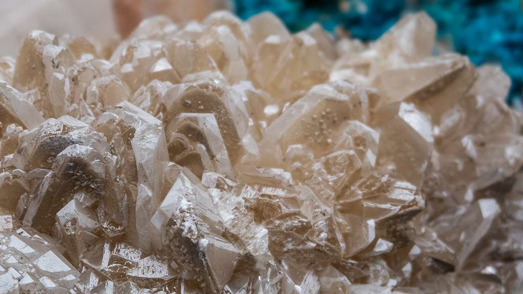
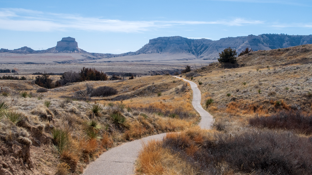
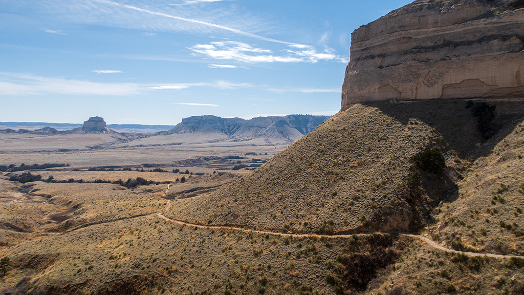
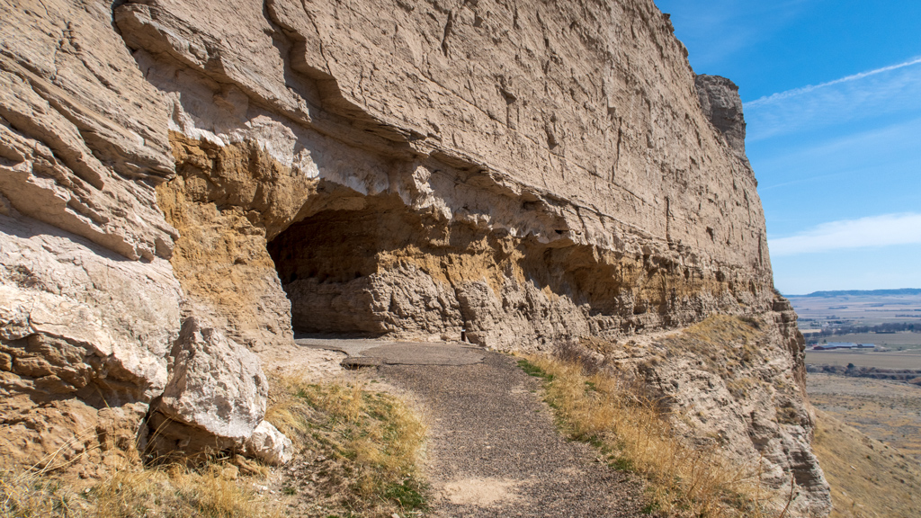
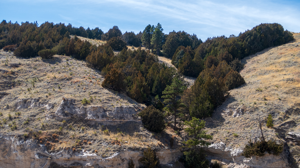
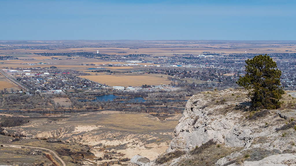
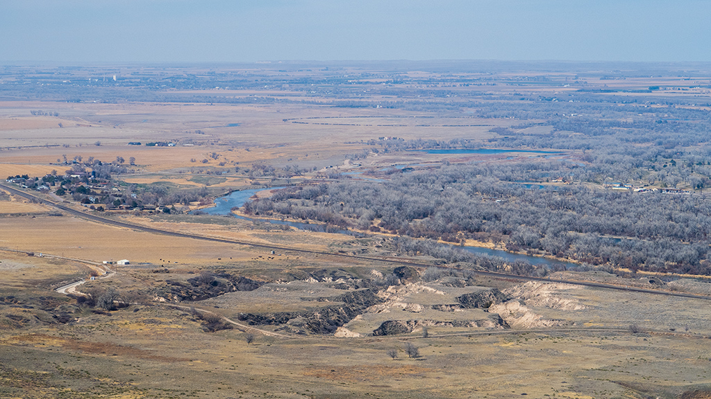
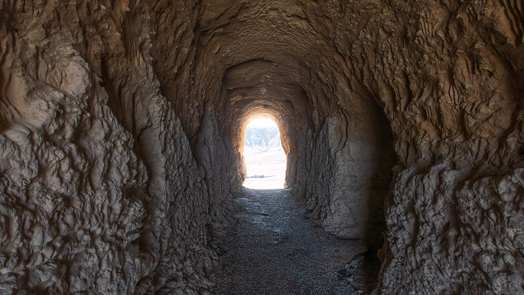
Hello, Arches National Park near Moab, Utah

After visiting Canyonlands National Park, I went to the Arches National Park the following day on the other side of US Route 191.

Arches is actually the main reason why I wanted to go to Moab, and I was planning on spending two days at Arches (the day of check-in and the day of check-out at my hotel in Moab), but after I had my travel all planned out and scheduled, I learned that Canyonlands existed, so I split my Moab trip between the two national parks. This meant that I had less time to explore Arches, so I did a full scenic drive and did only a little bit of hiking spread out across the main hotspots.

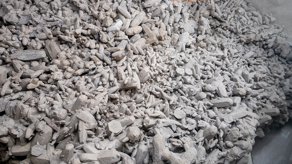
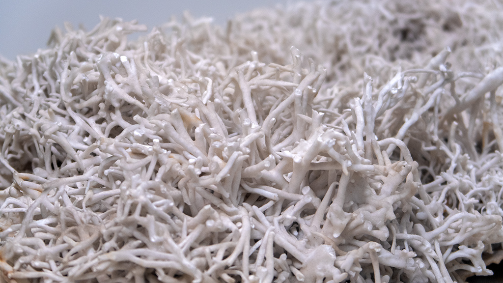
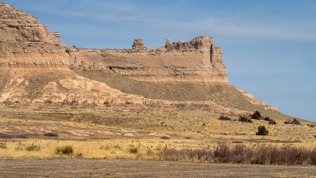
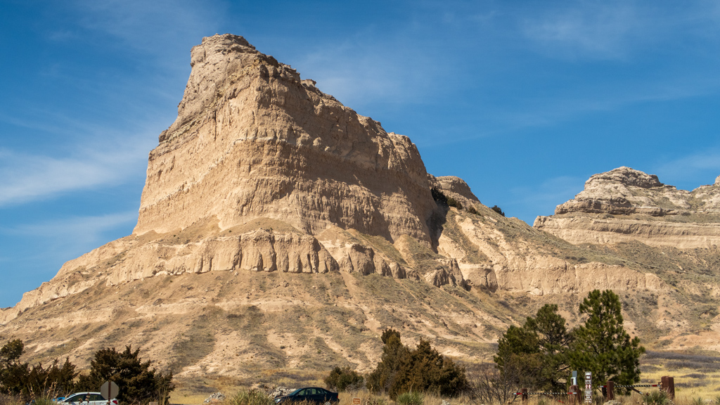
I have so many photos from Arches that I don’t precisely remember where each one is from, but the route I took was Park Avenue Viewpoint, La Sal Mountains Viewpoint, Courthouse Towers Viewpoint, Petrified Dunes Viewpoint, Balanced Rock, and Salt Valley Overlook.

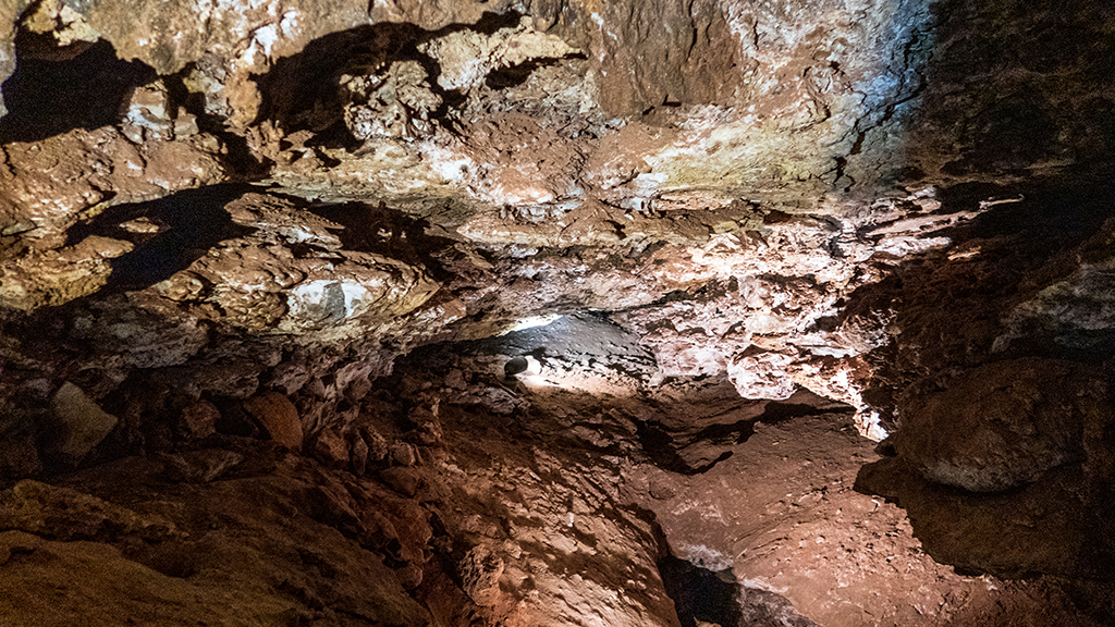
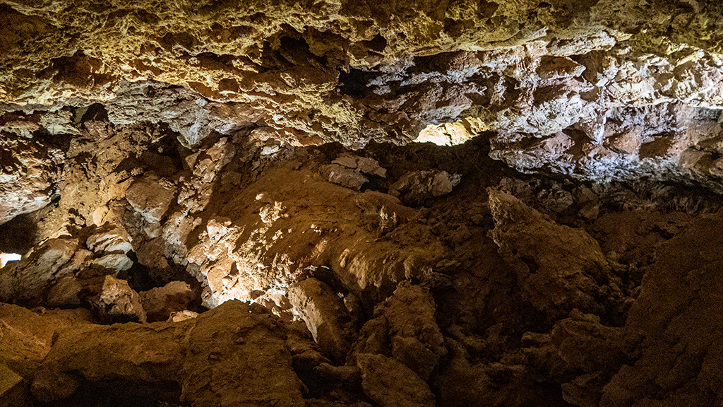
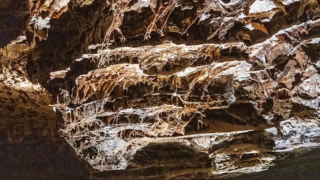
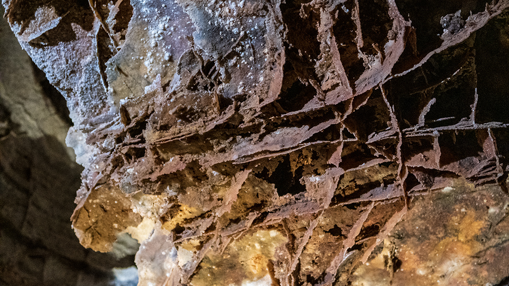
Afterwards was Fiery Furnace, the final stop before the end of Arches National Park Road.

My original plan was to do the full Devil’s Garden Trail, which is just shy of 9 miles and over a thousand feet in elevation gain. However, because I con­densed my Arches trip to just one day, I did a much shorter version of the Devil’s Garden hike.

The first stop was Tunnel Arch.

After Tunnel Arch, I hiked over to Pine Tree Arch, before turning around and heading back to the trailhead.

Even though Devil’s Garden is the end of the road, that wasn’t all—there are a few other side roads branching out from Arches National Park Road, which I checked out on my drive back to the entrance.

The first side road I took was Delicate Arch Road, which led to Wolfe Ranch and the Lower and Upper Delicate Arch Viewpoints. If I wanted to go see the Delicate Arch up close, I would’ve had to hike up there from Wolfe Ranch, but for the sake of time and energy, I decided instead to drive straight to the viewpoints. Some people were just satisfied with the lower viewpoint, but I climbed up to the upper viewpoint for a better view of Delicate Arch (though I wasn’t able to see the Twisted Doughnut Arch from that angle).

Upon retracing my path on Delicate Arch Road, I went further south and turned onto The Windows Road. The first stop there was the Garden of Eden.

I thought I heard voices coming from one of the freestanding rocks at the Garden of Eden. I have incredibly poor eyesight, so I couldn’t actually tell if there were people up there, but I snapped a photograph in that general direction and managed to capture some rock climbers.

Next up, at the end of The Windows Road, was the Double Arch.

And finally, as you’d expect from the name of the road, the final landmark at the end of The Windows Road was Window Arch.

Compared to the chaotic and underwhelming experience I had at Zion National Park, Arches was much, much better. There were tons of places where people could pull over to the side of the road to take in the views, and it wasn’t massively overcongested (though I assume this is considered off-season, so it might end up getting worse over the summer).

I regret only booking one day in Moab, because I feel like I could’ve spent a full three days exploring Arches National Park and still feel like I only barely got to see everything.

I also liked the contrast between Canyonlands National Park and Arches National Park—it was amusing to see the massive canyons in Canyonlands, and then the massive rock formations in Arches, as if some giants used one side of the road to dig a bunch of holes, then used what they dug up to make a bunch of sculptures on the other side of the road.

Also, this might be a bit of an unpopular opinion, but I actually enjoyed Canyonlands and Arches more than I did the Grand Canyon. The Grand Can­yon is definitely an incredible national park, but unless you’re literally taking a multi-day trip to hike down over a mile in elevation to the bottom of the canyon and camping out, it’s a little difficult to truly grasp the massive scale of the Grand Canyon. Even though Canyonlands is far, far smaller than the Grand Canyon, I feel like it was easier to conceptualize—sort of like how a normal person can’t truly grasp how much money one billion dollars is, but most people know exactly how one million dollars can change their lives.

With that being said, Moab is definitely a visit-again destination. I’ve historically known Moab as the place people bring their pickup trucks for brutal off-road capability testing, and even though I haven’t really done much off-roading, it’s definitely something I would consider trying, if I ever purchase a proper vehicle (or, a more easier solution would be just to rent a proper vehicle).

Continue reading


—§—


Hello, Canyonlands National Park near Moab, Utah

After making my way across the state of Utah, I decided to take a stop on the east side in Moab, a city nestled conveniently between two national parks, Can­yonlands National Park and Arches National Park. I decided to visit Canyonlands first.

After traveling on US Route 191, I turned onto Utah State Route 313 and took the scenic drive south into Canyonlands National Park. My first stop was at the Shafer Canyon Overlook in the Island in the Sky district.

After taking in the views and capturing a lot of photos, I noticed that it was slowly becoming more gloomy, and there were dark clouds forming in the distance. Assuming that there was incoming inclement weather, I decided to drive straight to the end of Grand View Point Road to see the summit first, as I figured it would most likely start snowing at higher elevation faster.

By the time I drove past Mesa Arch, it was on the verge of raining, and right as I was passing the Buck Canyon Overlook, it started snowing. By the time I made it to the White Rim Overlook, it was hailing, but I had already come too far, and I had to go all the way up to Grand View Point.

By the time I finally made it to Grand View Point, there was absolutely no view. The snowstorm had picked up at a breakneck pace, and the “view” I had was basically what you see in the top third of the photos below, but literally everywhere instead of just in the sky. There was no visibility, and if the paved sidewalks weren’t there, it would’ve been a very real possibility for someone to just walk straight off the bluff. Needless to say, I opted not to hike the Grand View Point Trail to the overlook.

Trying not to get a concussion from the hail, I scurried back to my truck and started driving back down. I captured some photos along the way of the calmer areas, but the snow had swept through the entire national park, and even hit all the way down to the hairpin turns by South Fork Sevenmile Can­yon. There was a decent amount of traffic backed up of other tourists who had the same idea as me and wanted to make it back down to Moab be­fore the snowstorm turned into a blizzard.

Although it was a bit unlucky that the weather was unconducive to a hike, the parts I did get to see were nice, and it was pretty seeing the desert veg­e­ta­tion peeking through a blanket of white, which I imagine most other people wouldn’t have an opportunity to see if they visit over the spring, sum­mer, or fall.


—§—


Hello, Fremont Indian State Park in Sevier, Utah

Since my previous big loop around the country, I made a very important purchase… I bought a new laptop so I wouldn’t have to keep using my 8-year-old Chromebook that can’t actually run any software except for web apps (and sometimes, even that is a stretch). This affects my road trip for one big rea­son: I’m way more willing to make intermissionary stops between longer destinations.

Previously, I would only drive from major city to major city, then spend about a week (or more) at each destination. Upon arrival, I would bring in my entire desktop computer and set up my full workstation—two monitors, speakers, subwoofer, condenser microphone, peripherals, and all. Any time I did­n’t have my full computer setup meant I couldn’t work at 100% productivity and efficiency, so I avoided situations where a stop would be so short that it would be too much of a hassle to set up my entire computer.

Now that I have a Windows laptop with far greater power than a Chromebook that’s reaching a decade of age, I’m much more willing to take short stops in between major cities—and today’s hiking trip is a great example of that. Between Zion National Park and Grand Junction, I decided to make two short stops, the first being at Richfield, Utah.

Richfield is a small city just shy of 8,000 people in Sevier County, and the most populous city in central Utah south of the Provo–Orem Metropolitan Area. On the way to Richfield on Interstate 70 was the Fremont Indian State Park and Museum.

It seemed like I could just park anywhere in open space and go hiking, but for the sake of helping support state parks, I voluntarily paid the US$10 ad­mis­sion fee and checked out the museum exhibits prior to my hike. The museum was obviously fairly underwhelming compared to some of the major ones I’ve visited, but considering how limited their resources are and how “out in the middle of nowhere” this museum felt, it wasn’t actually that bad.

The first trail I did was an easy, paved one right beside the museum, called the Parade of Rock Art Trail.

After circling around, I made my way over to the Canyon Overview Trail.

On the intersection of Coyote Canyon Trail, there was a Meditation Spiral. I didn’t do any meditating because I was a little crunched on time and needed to make it to my hotel in Richfield by a certain time to attend a conference call, but I feel like walking the spiral would’ve made me dizzy anyway.

Afterwards, I connected onto the Hidden Secrets Trail. This was split into the Upper and Lower Hidden Secrets Trails, and I’m not sure which ones I hiked, but there was a ton of mud here from recent snowfall, so I scrambled around taking any path I could to make it to the end.

Once I got to the end of the Hidden Secrets Trails, I transferred over to the Court of Ceremonies Trail, a short but steep trail that had great views and a path directly back to the museum parking lot.

After my hike, I took the scenic drive on Clear Creek Canyon Road and snapped some more photos along the way.
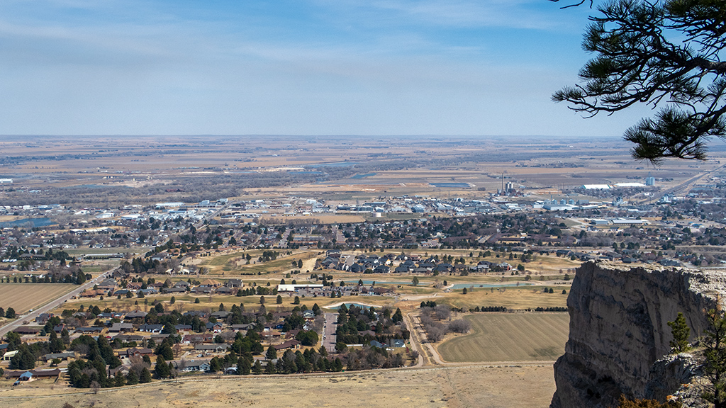
I don’t have a GPS map of my hike because I wasn’t going to activate tracking until after the museum, but then proceeded to forget to activate it at all after seeing all the exhibits.

These photos don’t really do the view justice—the towering rocks and snow-covered mountains are an amazing sight, and this area had some of the clean­est air I’ve breathed.

I’ve always wanted to live in a high-rise condo as my main residence, but after I first started my journey across the country, I partially changed my mind—I saw how amazing these hidden areas of nature were, and at the very least, if I didn’t live out in a place like this as my primary residence, I definitely want­ed a second home in a place far away from bustling cities. Seeing more areas like this, such as the Fremont Indian State Park, is reinforcing my wish­es of wanting to spend at least half my life out in the open, nestled among trees and mountains.


—§—


Zion National Park was a disaster

The first major stop of my road trip was at Zion National Park. After purchasing an interagency unlimited-use annual pass for US$80.00 for nationwide ac­cess to national parks, I routed my road trip path through as many national parks that I could reasonably visit to get as much value as I could out of my annual pass, and because I enjoyed my visit to the Grand Canyon.

The system they currently have for accessing Zion National Park is an absolute disaster, and I am tilted on behalf of the people who don’t have an annual pass and have to pay upwards of $35 to get in.

Similar to the Grand Canyon, Zion National Park usually has shuttle service that picks people up from large parking areas and brings them to hiking trails and other points of interest in the park. However, during off-season times of the year, the shuttle service is not available or only partially available, and you have to drive di­rect­ly to these areas. Now is considered an off-season time, so the shuttle only runs on the weekends and not during the week­days.

The “main” area of Zion National Park is accessible through Zion Canyon Road, the entrance of which is right by Canyon Junction Bridge. There are small parking lots available down Zion Canyon Road, but the availability is nowhere near sufficient to accommodate all the tourists coming in via their own personal vehicles. Once a cer­tain number of cars go in and there is no more parking, they will completely block off access to Zion Canyon Road.

From here, you have two choices: You can either park your vehicle on Zion Park Boulevard (the intersection of Zion Canyon Road) and wait for Zion Can­yon Road to open back up, or you can walk to your desired hiking trail.

The problem with walking is that Zion Canyon Road is pretty long, and if I were to walk to the trailhead that I wanted to hike (which was Angel’s Land­ing), I would’ve to add three miles to my hike in each direction just to get to and from the trailhead. I also couldn’t manage to find a realistic place to wait for the road to open back up, because there were already basically 30 other cars all doing the same thing, occupying every single possible emp­ty space that isn’t directly in the middle of the road (including spaces with signs that say “No Parking” directly next to them).

I tried hiking at Zion National Park three days, and only managed to get into the main hiking area during one of those days. The other days, I just took the scenic drive on Zion–Mount Carmel Highway, but even that wasn’t great, because the area close to the east entrance of Zion National Park was also ex­tremely congested and had no parking. So basically, instead of going to Zion to hike, I basically went to Zion to drive and then go back to my hotel.

 
Now, with that being said, the one day that I did manage to get in, it was amazing. One of my friends—the friend who actually introduced me and got me interested in hiking in the first place—joined me for that day, and he had been to Zion before, so he was able to show me the most interesting areas.

The two trails that I wanted to do were Observation Point and Angel’s Landing. Observation Point was closed due to a rockslide that damaged the trail, as well as a risk of another rockslide in the same area. Angel’s Landing was apparently covered in ice, and we weren’t prepared with microspikes, so I de­cided to postpone that trail to a following day after I could either rent the proper equipment or go later on in the day after the sun came out (though, as I said above, that never happened, because I was never actually able to reach the Angel’s Landing trailhead again due to congestion).

Instead, we decided to drive all the way out to the Temple of Sinawava and do the Riverside Walk up to the Narrows.

We made it to the end of the trail and saw some people continuing on into the Narrows through the North Fork Virgin River, though we obviously did not, as we were not prepared with the proper equipment to wade through freezing cold water.

After making it back to the Temple, we drove back south on Zion Canyon Road and navigated up the hairpin turns on the Zion–Mount Carmel High­way up to the Zion–Mount Carmel Tunnel. Because my friend was driving, I was able to get some decent shots of the scenery along the scenic drive.

Once we got to the tunnel, traffic was backed up. After observing, I found out that they close one side of the tunnel and make it one-way whenever there is an oversized vehicle (like an RV or a particularly wide truck) coming through, because the tunnel is relatively narrow and a vehicle of commercial width would impede the opposite flow of traffic.

After we made it through the tunnel, we found a parking spot nearby and hiked the Pine Creek Canyon Overlook via the Canyon Overlook Trail. To me, it was a fairly leisurely and pleasant walk, but there were some parts that were tricky for beginners, like sections of narrow path next to a bluff and a bridge directly above a large drop, so it was fun seeing tourists get irrationally terrified trying to complete the trail.

At the summit, I was able to capture a photo of a squirrel, which reminded me of the squirrel I met at the top of Cathedral Rock at Mount Charleston in Clark County, Nevada. That squirrel came up to me to feed off some salted mixed nuts, but this squirrel in Zion was a bit more shy, and it bolted off when I got closer.

After we made it back down to the trailhead, we saw some rams peacefully sunbathing and watching the tourists scramble up the nearby rocks.

Ignoring the logistical nightmare of there being way too many vehicles and not being able to find parking, Zion National Park itself was great. Once shut­tle service resumes and you’re able to actually explore the entire park, I think this is definitely a trip worth taking (and I imagine everyone else thinks the same, considering how packed it was).

I’m disappointed that I didn’t get to hike Angel’s Landing, especially because they’re changing it to a lottery system beginning April 1 where you have to buy a raffle ticket and then get lucky and have your ticket picked in order to gain admission to the trail. So, this was basically my last opportunity to be able to go and get in a “guaranteed” hike there… though I guess it wasn’t guaranteed, seeing as the access road was closed.

If I get an opportunity to return to Zion, and if I don’t win the raffle to hike Angel’s Landing, and Observation Point hasn’t reopened yet, then I actually want to hike the Narrows, rather than just going up to it and looking at it. If I end up going during the summer, it may be feasible just go in regular shoes that I’m fine with getting wet (similar to how I was just wading through water when I was at the Indian Canyons in Palm Springs), or possibly even bare-footed, as I’ve seen photos of people doing it without footwear at all.

Continue reading


—§—


Hello, Confluence Park in La Verkin, Utah

After heading out of Southern California last week, I stopped by Las Vegas to take care of some errands before leaving for the next segment of my road trip—I checked my PO box, got a haircut, exchanged some stuff from my storage unit, took a routine blood test, visited my chiropractor, attended a class at the university, and met up with some friends. Yesterday, I set out towards Utah, the first state in my next loop around the country.

My first major destination is going to be Zion National Park, but on the way there, I decided to spend a night in St. George to break up the drive into shorter segments. After checking out of St. George, I took a stop at La Verkin on my way to Virgin, a town on Utah State Route 9 along the way to Zion.

To the west of La Verkin is Confluence Park in the Red Cliffs Desert Reserve, part of the greater Red Cliffs National Conservation Area. I decided this would be a great place to take a hike while waiting for check-in time at my next hotel.

This was an interesting hike, as the beginning of the trailhead was nestled between a few vacation condos next door to a coffee shop, and within several hundred feet, there was a massive descent of a few hundred feet of elevation down into the canyon. From there, the hiking trail followed alongside the Virgin River and continued northwest.

The out-and-back to the intersecting point of the Virgin River and La Verkin Creek was a little over three and a half miles, which included a wrong turn that I took partway down the trail. I thought this was a great hike; I haven’t really been on too many where you descend directly into a canyon right at the beginning of the trail, and are surrounded by towering rock formations throughout the hike.


—§—


Custom-made white alligator leather baseball by Comstock Heritage

A few years ago, one of my co-workers found out about my intriguing affinity towards collecting exotic leather goods, and once the news spread, I was referred to as the “leather guy” for a little while. But since then, because of the fact that work has substantially ramped up and I’ve been traveling a lot since the beginning of the pandemic, I haven’t really added anything new to my collection, and the hype died down.

I like my exotic leather goods to be functional. For example, I frequently wear a stingray belt because of its durability and how ef­fectively it serves as a sturdy gun belt, and I carry a stingray wallet daily (and get uncomfortable comments once in a while from people with trypophobia).

However, there is only so much of your life you can turn into high-quality leather. With all my belts, my boots, and even my office chair back at home being made of full-grain leather, I wanted to start getting creative.

 
As a young kid, I loved watching baseball. At one point, I’m pretty sure I had the entire roster of the Chicago Cubs memorized (and a majority of the Chicago White Sox too), and I would tune in to watch baseball every time a local team was playing. But just as quickly as I had gained interest in the sport, I became disinterested, and I barely watched it ever again for some mysterious reason that I still don’t know to this day.
Not too long ago, I saw some baseball highlight videos pop up in my recommendations on YouTube, and it gave me flashbacks of my childhood and got me thinking. Back then, little Adam would’ve loved to have some baseball memorabilia from his favorite baseball players. As part of my mission to do everything during adulthood that I’ve always wanted to do as a child but never had the opportunity to do, I decided that a baseball would be my next exotic leather good.
In a similar process as I did for my other leather goods, I went scouting for a leathercrafter. During my search, I found a company called Comstock Her­it­age that already had alligator leather baseballs for sale. I reached out to them and arranged a custom order.

 
Usually, baseballs have the manufacturer, a professional team, and a player’s signature engraved or debossed into the surface. Little Adam would’ve wanted a Chicago Cubs baseball, but adult Adam doesn’t care about baseball players. However, I felt like having a blank baseball would be boring, so I came up with an alternative.

Although I’m not a fan of baseball players, what I am a fan of are great leathercrafters. So, in place of the aforementioned three items, I requested them to be substituted with the company’s name, the leathercrafter’s signature, and some information detailing the creation of the baseball.

What I was going for here was, if you look at the baseball from far away, it just looks like a plain old normal baseball, but once you get closer, you realize that the leather is alligator instead of cow or horse, and the markings are relevant to the actual creation of this particular baseball, as opposed to ref­er­encing the general sport of baseball.

 
This is how the final product came out:

This ended up being exactly as I had hoped, which I think is a fairly large compliment in itself, considering how unrealistically high my standards usually are.

The density of the core feels exactly like what I’d expect from a real baseball. The stitching is flawless throughout. The grooves of the alligator skin appears to have made the debossing and ink fill process a bit more difficult, but the leathercrafter still tackled that challenge well. The texture of the gator is dynamic, and the baseball contains everything from the extra wrinkly segments to the broader and smoother panels.

With the extra customization options, as well as sales tax for being in-state, this ended up costing a little bit over US$350. If you’re interested in pur­chas­ing your own, Comstock Heritage has hand-crafted alligator baseballs listed in their online shop.

 
Going back to the note about me liking my exotic leather goods to be functional, yes, I realize that I am most likely not going to be throwing around this particular baseball and playing catch with it (… or am I?). With that being said, once I purchase a baseball display stand, I think this is going to serve as a very nice desk decoration, and I’m very satisfied with my purchase.

 
Note: I was not compensated in any manner for this review and do not plan to accept any compensation offers after-the-fact. Comstock Heritage was not provided with an opportunity to read or revise this blog post prior to publication.


—§—