Hello, Yakima Area Arboretum & Botanical Garden in Yakima, Washington

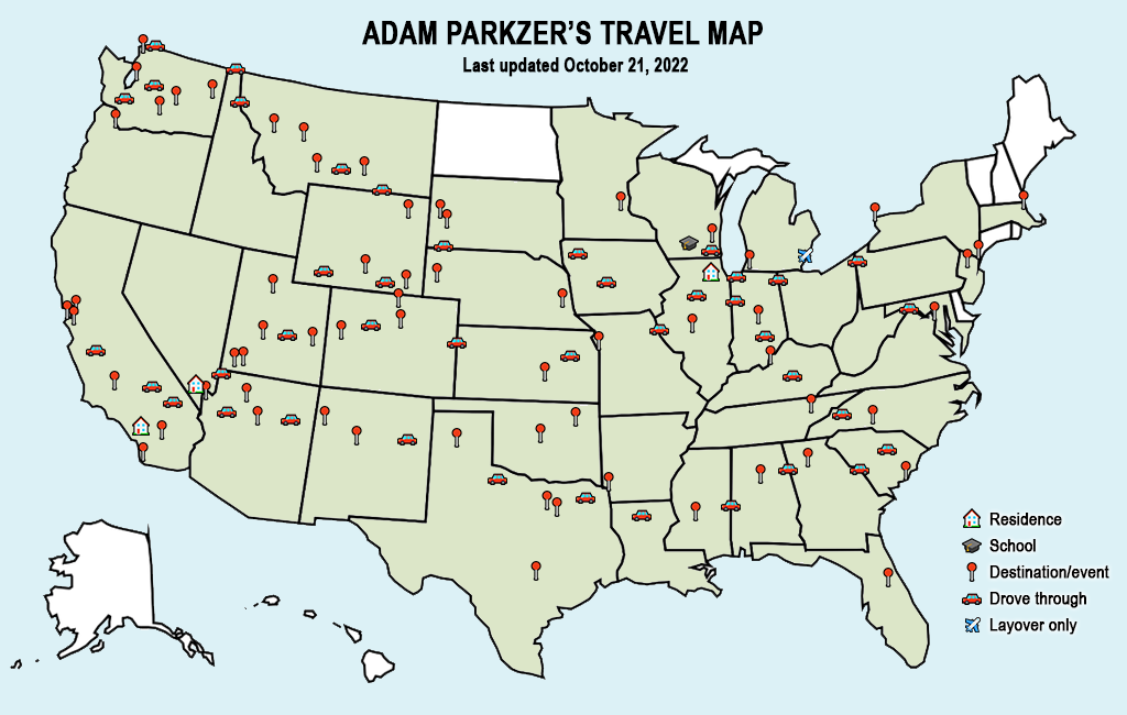
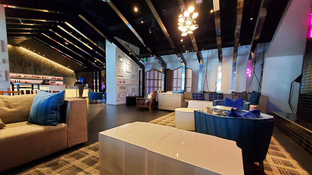
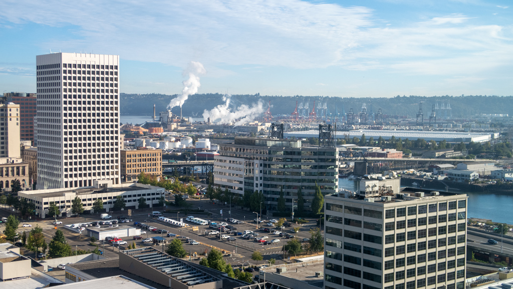
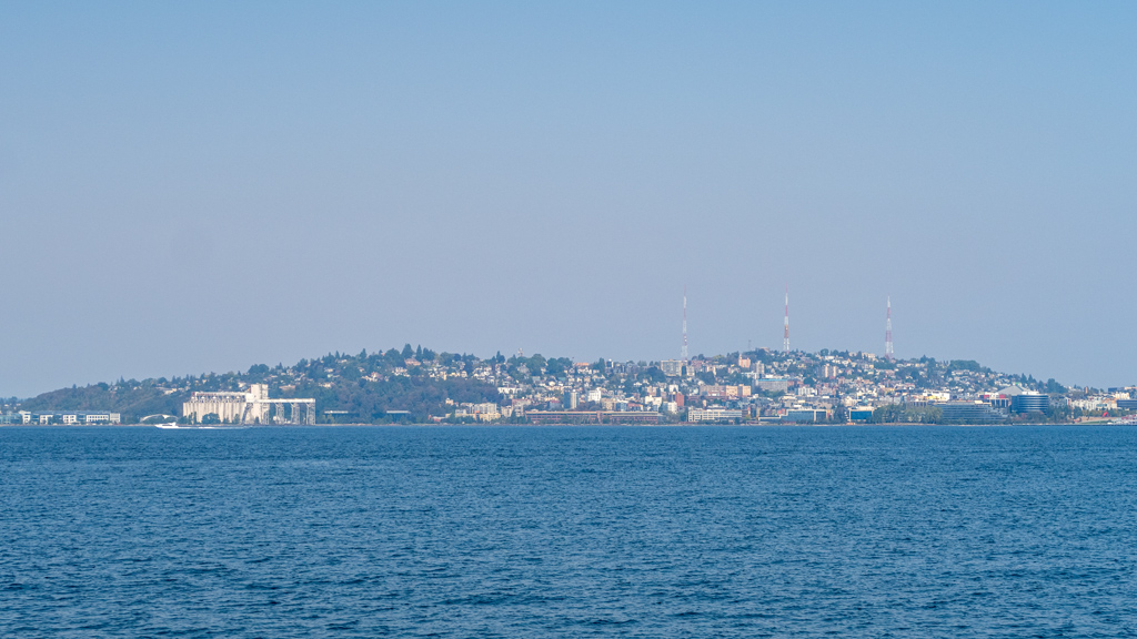
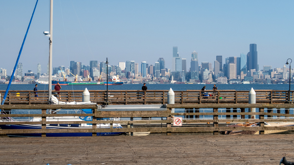
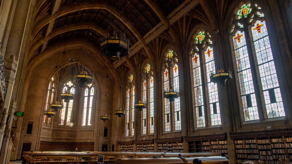
For my first stop after leaving the Seattle Metropolitan Area, I decided to visit Yakima, a city inside the Yakima Valley and named after the Yakama In­di­an Reservation (no, that is not a typo—apparently they changed the spelling of their tribe’s name from Yakima to Yakama in 1994).

I only spent a day and a half in Yakima, so I didn’t get to explore too much—I generally stayed around the bend of Interstate 82 and didn’t drive south­west into the suburbs. However, in the areas through which I did drive, my impression of Yakima… is that it is probably one of the most difficult areas in which I’ve ever driven.

The drivers weren’t particularly bad, and the vehicular volume was obviously nowhere close to even a fraction of any major metropolitan area, but at least on the eastern side of Yakima that I saw, I think the city planners did an absolutely horrid job. My best guess to justify the mess is to think that they never expected Yakima to have more than a modicum of population.

During less busy hours, driving around felt fairly normal. However, I selected an inopportune time of around 5 PM to go out to get some dinner and shop at Target to stock up on snacks and sports drinks. Long story short, when there are a lot of cars, it is prohibitively and paralyzingly difficult to get a­round.

Everywhere I went, there were unprotected turns onto major streets, which meant, if you were going straight or turning left, you would just be idly sit­ting there, hoping for a break in the traffic. Even worse, these roads were right by major interstate exits with no stop lights, so there were no man­u­fac­tured breaks in the traffic from signal light flow—you just had to hope that you were lucky.

One example of this was when I drove southbound on North Fair Avenue near exit 33 of Interstate 82 and turned right onto South Fair Avenue Loop to prepare to turn left onto East Yakima Avenue. After literally 14 minutes of queuing up and watching other cars struggle as well, I finally was next in line to turn. I sat there waiting for an additional two or so minutes before I looked in my rear view mirror and saw that the line of cars waiting to turn left be­hind me was so long that it was flowing back beyond the fork in the road, now even blocking the cars trying to turn right. After realizing this is bor­der­line a lost cause, I just started creeping forward and obstructing the flow of lateral traffic until they slowed down enough for me to floor the ac­cel­er­a­tor and squeeze in between two cars. Nobody even honked at me for my dangerous maneuver, which makes me think that they see these antics at this in­ter­section so much that they’re used to it.

At one point, I tried to turn onto Yakima Avenue from a different spot farther down west after departing a business, and even that was nearly impossible (even though it was a right turn) because everyone seems to be parked on the street in the very narrow right-most lane, and with many people in Yakima owning large pick-up trucks and SUVs, visibility is completely blocked.

Again, I don’t know how it is out in the southwestern suburbs, because I never went there, but at least in the busier area by the interstate, they really need to erect some more traffic lights.

 
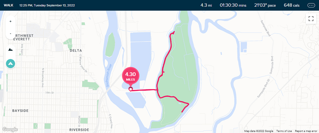
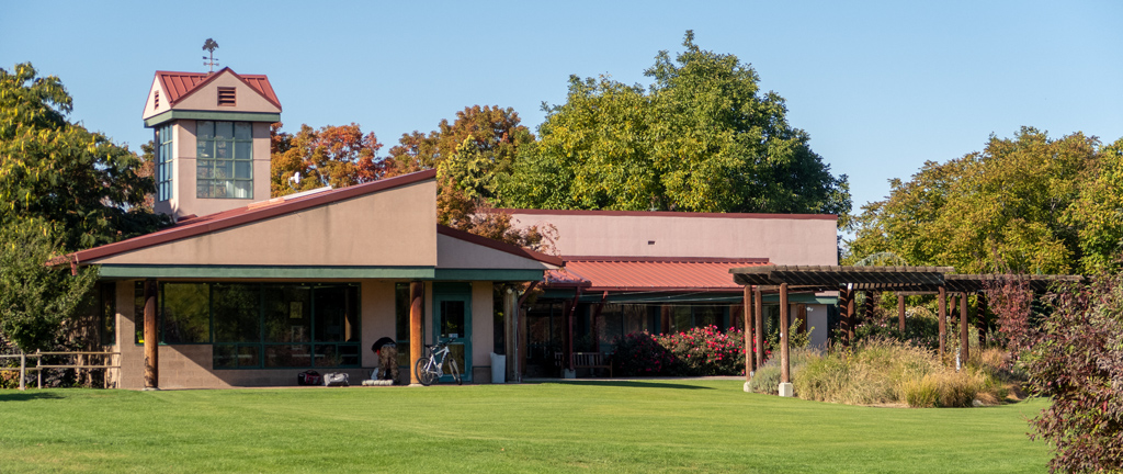
Apart from struggling to drive, I also visited the Yakima Area Arboretum & Botanical Garden, which was conveniently located near the interstate. The weath­er was nice and brisk, perfect for a quick stroll before heading out to my next destination.

Unfortunately, it seemed like the building was closed for some reason (there was a makeshift notice on the glass doors stating that they’re closed), but the outdoors area was all open and accessible by the public.

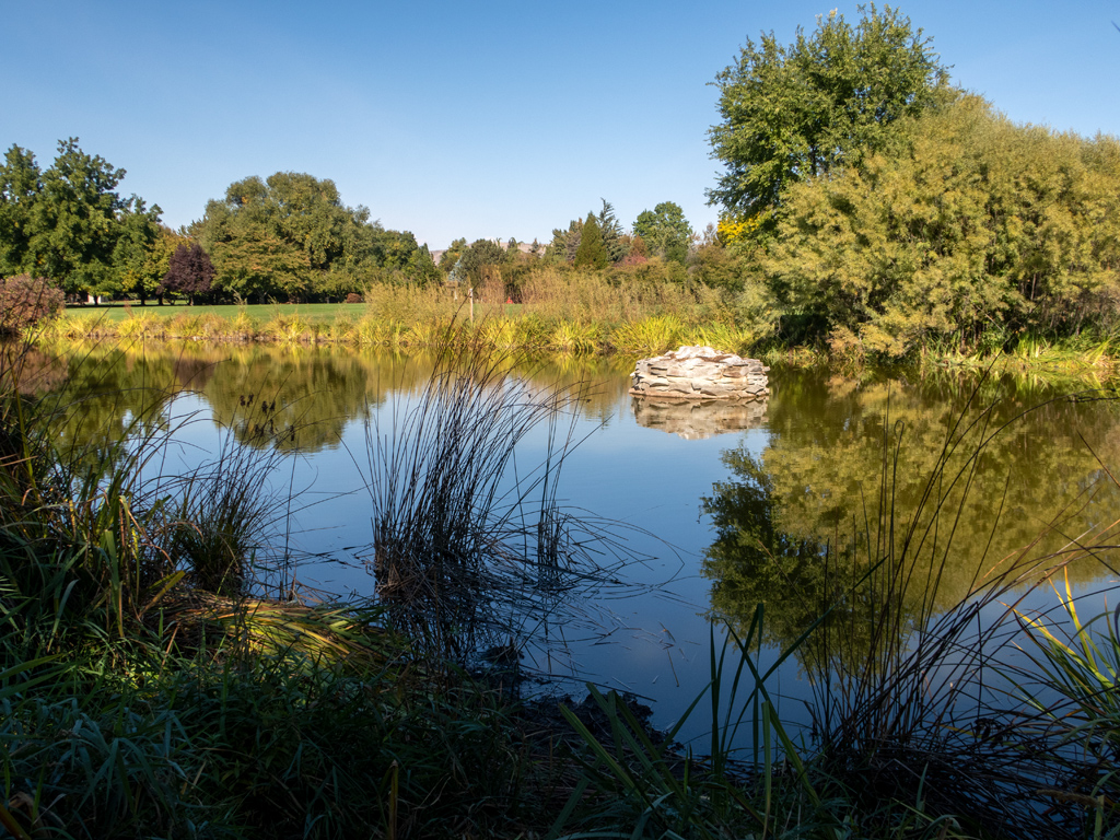
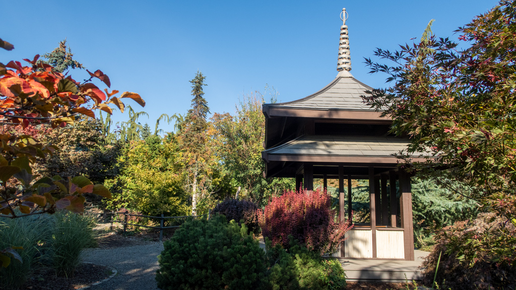
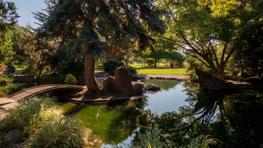
Deeper on Noel Pathway into the forest, there was a nicely-maintained pond surrounded by trees, rocks, bridges, and a waterfall. While I was walking through, I noticed a group of people taking what appeared to be wedding photos (you can sort of see the photographer in the picture immediately be­low).

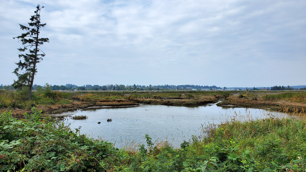
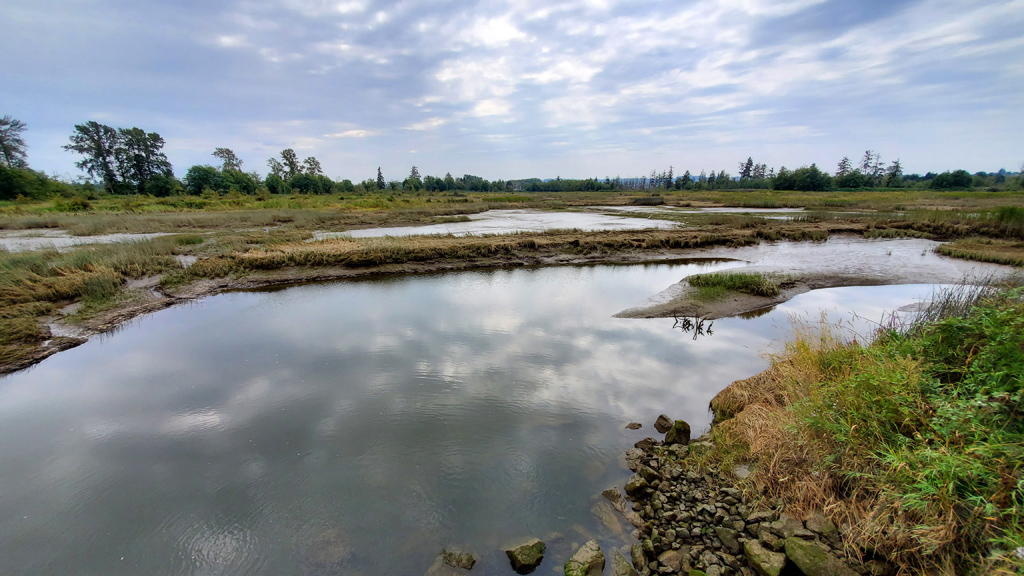
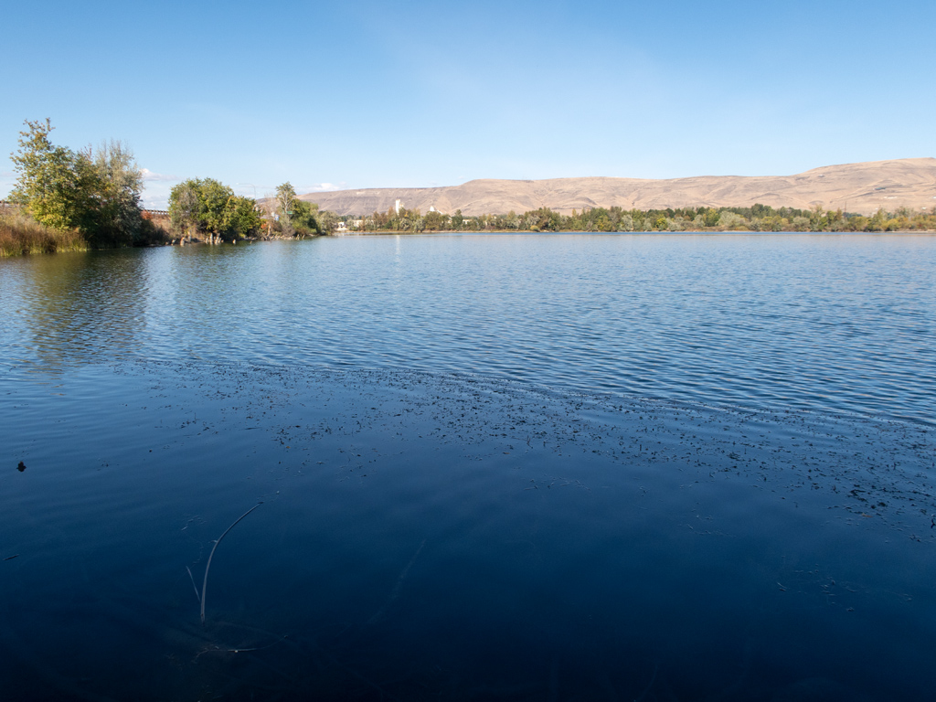
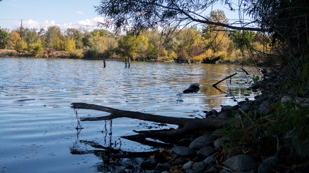
After walking across and up to the northern side of the field, I maneuvered over a ditch to make it to a different path that led me to some nice views of Buchanan Lake.

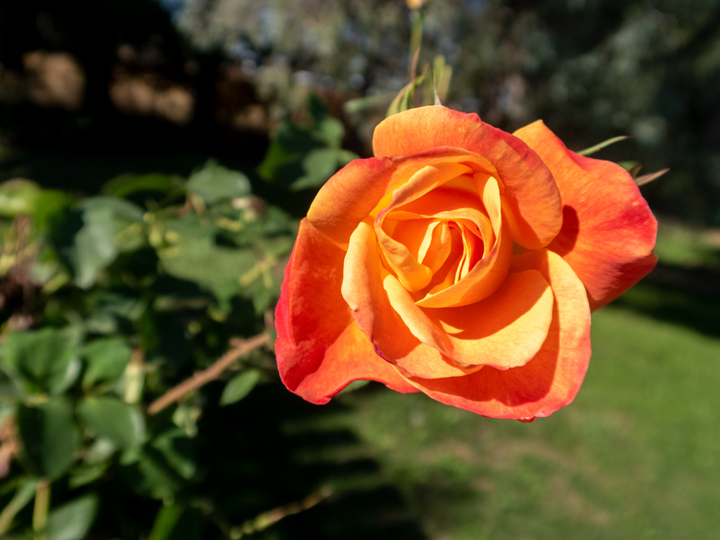
Once I managed to retrace my steps and hop over the ditch back onto arboretum property, I made my way to the botanical garden area, where I saw the rose garden.

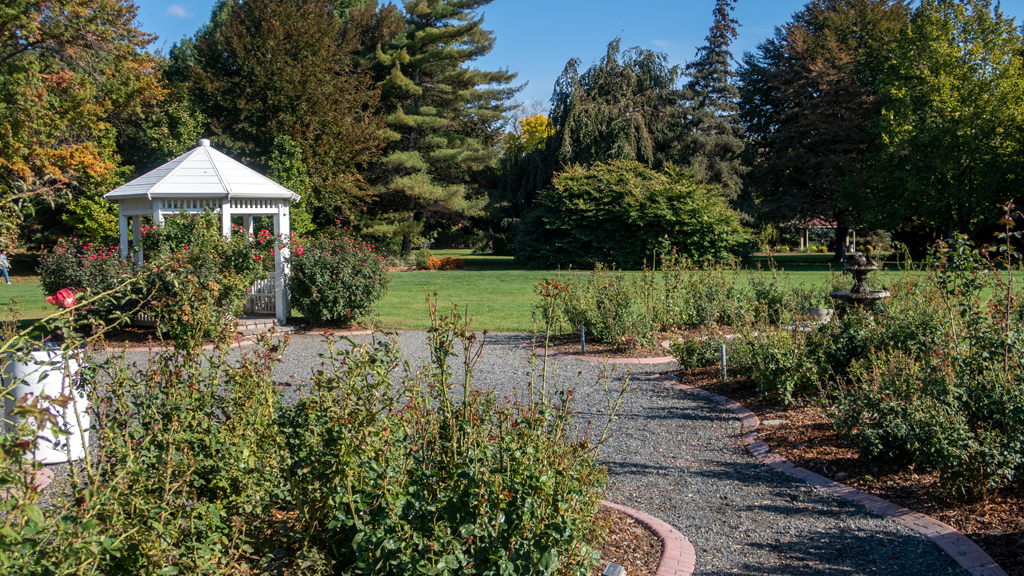
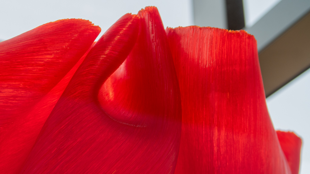
There weren’t too many roses around, probably because of the season, but there were still a handful in bloom.

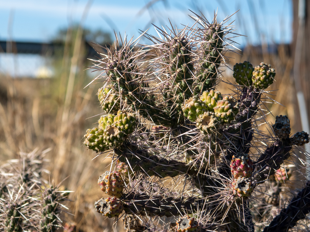
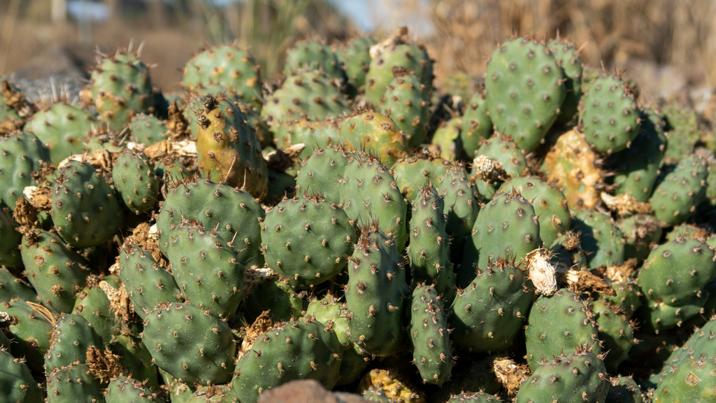
On my way back to my truck in the southern parking lot, I came across a little island of desert vegetation in the northern parking lot.

For my next stop, I’m continuing southeast on Interstate 82 to the Kennewick–Pasco–Richland Metropolitan Area, better known as Tri-Cities.


—§—


Goodbye, Seattle Metropolitan Area

Since the middle of May, I’ve been using the Seattle Metropolitan Area as my “temporary home base.”

Shortly after arriving, I flew to Las Vegas to take care of some errands after a long journey through South Dakota, Montana, and eastern Washington. Af­ter returning and resting up for a week and a half, I set off on the Canadian leg of my road trip.

Immediately upon my return, I petsat, then for the next few months, I rotated around visiting and staying in friends’ homes, exploring the Seattle suburbs, doing more petsitting, spending time with friends, and flying out of SEA to get to places I needed to be, including two more Las Vegas trips and a visit to TwitchCon.

Now, five months later, I’m ready to set off on the next—and potentially final—leg of my transcontinental road trip.

 
Earlier today, I arrived in Yakima, a city in south-central Washington. I was considering going from Seattle southbound alongside the Pacific coastline, but I still hate California, and I want to avoid Portland at all costs now after what has happened to it in the past few years. (I’ve also already been to Port­land; this was before it got really bad and it was still a bit underwhelming.)

Instead, I decided to route myself through southern Idaho and back across Utah, then stop by Las Vegas again on the way to living at the Tempo facilities in Long Beach, California for the winter again like I did last year.

Here is how my progress is looking so far:

Having spent so much time in and around Seattle, there were a lot of photos I took, many of which I published on my website in their dedicated blog posts. However, some were publication-worthy but never made it online. I figured this round-up post would be a good place to share some of my final shots from the Seattle Metropolitan Area.

I think a nice place to start is the Seattle-Tacoma International Airport. Throughout my road trip, whenever I needed to fly somewhere, I would park my vehicle at the local airport, take care of business, come back round-trip, then pick up my truck and continue on my road trip. Sometimes, I would end up in very small airports and have to take inefficient flight paths to get where I needed to go, but SeaTac’s great coverage made travel very easy while I was there.

Back in July, Tempo Games filmed an orchestral performance for The Bazaar. I play a ton of different instruments, including the piano and cello, and I’ve been a fan of music in performance ever since I was a little kid, so it was nice being able to stop by to watch and listen to the musicians.

Even though I spent a very large amount of time in the Seattle Metropolitan Area, I don’t actually really like it here that much (I only stayed here for this long because I have a lot of friends and co-workers who live here, so there was a lot for me to do).

The suburbs aren’t as bad, but I think the local Seattle government has devolved into a dangerous echo chamber of extremist liberal viewpoints. My per­sonal belief is that a balance of government is critically important to properly run a city. A diverse governmental structure encourages discussion and de­bate of differing perspectives, which is conducive to considering all the possible options and selecting the best one, rather than one party’s mission snow­balling unmanageably out of control.

With that being said, if I was absolutely forced to live in the Seattle Metropolitan Area, the place I would pick is Bellevue.

Downtown Bellevue is an amazingly-planned city. It has ample parking, yet still, many interesting things are all within walking distance. It is very well-maintained and clean, the environment is upbeat and welcoming, and it is clear that there is still ongoing development to make it even better.

I like the idea of living in a downtown area, but in a practical and realistic sense, I hate almost all of the actual downtowns. This is why I lived on the Las Vegas Strip instead of downtown Las Vegas—it was sort of an “artificial” downtown where it had the bustle and allure of what a downtown area would be, but without the downsides. Downtown Bellevue is sort of like a Las Vegas Strip, but for business professionals and normal people (as opposed to tourists coming to gamble and drink way too much alcohol).

While visiting downtown Bellevue, I stayed at three different hotels, including The Westin Bellevue and the Courtyard Seattle Bellevue/Downtown. The third, which was my favorite, was the W Bellevue.

Funny enough, I’d say my favorite part of this hotel was the fitness facility. It was the largest and nicest hotel gym I’ve ever seen, and it literally even has a lounge area in the center to rehydrate and rest up between sets or after your workout. There was some very unique weight machines that I rarely ever see at other gyms, and it even had a punching bag.

I stayed at the W on a few separate occasions throughout the past five months, so I got to experience a few different rooms on all sides of the building—both with a Lake Washington view, as well as a city skyline and suburb view.

While in Seattle, I was introduced to Dani, who is the owner of Mina the cat. Before those pictures were taken, we walked around Vol­un­teer Park. Unfortunately, we mistimed our trip and it was dark by the time we had arrived, so I don’t have many good photos, but I did capture one after we had climbed to the top of the Water Tower Observation Deck.

It’s very grainy because I zoomed in on the Seattle skyline and it was dark outside, but after enhancing some of the raw camera sensor data, it was able to extract a lot of texture from the sunset and clouds, which I thought looked interesting.

Tacoma is generally seen as the more dangerous part of the Seattle Metropolitan Area. However, having survived walking through Capitol Hill in down­town Seattle, I felt confident that I was fit for Tacoma, so I scheduled a visit and explored the city for a little under a week.

I’m not sure if it was just because I stayed mostly around the touristy areas along the water, but I thought Tacoma was actually pretty nice. I was lucky in that I got a corner hotel room on the 20th floor so I had great 180° views, but the location of the hotel was also convenient so I got to walk to most of my exploration activities instead of driving.

And finally, I already have three blog posts featuring photos of Drake, Kaya, and Bullet, the three animals I’ve petsat on multiple occasions while I was in town, but here are three more, one of each, to close out my trip.

The drive to Yakima was only about two hours, but it was nice being back on the road, driving through mountains and sightseeing new areas. More to come soon…


—§—


Hello again, Mina the domestic shorthair cat; and Alki Beach Park in Seattle, Washington

Last month, I met Mina, a domestic shorthair cat. Before heading out of the Seattle Metropolitan Area to continue my transcontinental road trip, I had a fi­nal opportunity to visit and play with her one last time.

Earlier that day, a few friends and I went exploring at Alki Point, an area near the West Seattle neighborhood in Seattle, Washington. One of the friends I went with was Doug Wreden. We took another “typical Doug and Parkzer”-style photo in front of the Seattle skyline.

I wore long pants because I brought my point-and-shoot camera and I wanted sturdier pockets to hold it, but it was perfect shorts weather. The sun was shining but not too uncomfortably hot, and there was a light breeze coming from the water. The views were great, and we went on a weekend so there were a lot of other people out and it was fun people-watching.

We got some lunch from Marination Ma Kai. I ordered an entrée of four miso chicken tacos and a can of strawberry-lilikoi-flavored Hawaiian Sun. The food was great—the chicken was high-quality, the tacos weren’t excessively seasoned, and the garnish perfectly complemented the meat without being too sour.

After eating, we walked along the coastline to the Alki Point Lighthouse (which we later discovered was closed, as the tours only operate until La­bor Day), then we found some rental scooters and rode them all the way back to our parking spot. The last time I had used one of these scooters was way back in 2019 when I went to St. Paul, Minnesota, and I hadn’t ridden a scooter, bicycle, or anything of the sort since then. It was fun riding one again, especially because Alki had a separate, designated bike lane that I was able to use.

Overall, it was a very enjoyable trip.


—§—


Hello, University of Washington in Seattle

Back when Tempo was an esports and gaming content creation company more than the game design and game development company that it is now, we had a content director named Glen Tokola who took over the editorial department after me. After Tempo phased out those departments, the Glen tran­si­tioned his career to a different position, and is now the Esports Manager at the University of Washington.

With my stay in the Seattle Metropolitan Area soon coming to an end, Glen wanted to give me a tour of the university campus before I left and con­tinued on my road trip, so I headed over to check out the football stadium and some of the university buildings.

The tour started at Husky Stadium. One of Glen’s co-workers who handles sales for the football team showed us around and was able to take us to some of the more exclusive areas.

We eventually made it to the upper-most floor, where I stepped outside and was able to see unobstructed views of the entire field.

This area of the stands also had amazing views of Union Bay and Lake Washington.

We also got to take a peek into the presidential suite. Apparently this is a coveted place from which only the highly privileged are able to watch the football games. To me, it just looked like a normal room, but I took our tour guide’s word about the prestige of the room, so I snapped a photo.

After a thorough trip around the stadium, we headed to the main campus area. At the end of a long, grassy strip of field was Drumheller Fountain.

From this point, we walked around some more and I wasn’t quite able to keep up with exactly what buildings we were entering, but we saw some in­ter­esting libraries and even peeked our heads into some empty classrooms, waiting to be occupied by students in the upcoming and soon-to-start ac­a­dem­ic year.

Finally, Glen took us to the new esports room, which is basically like a LAN center.

I already played a lot of video games when I was an undergraduate at the University of Wisconsin-Madison, though I was somewhat limited by the fact that my laptop wasn’t very high-end, so I lagged a lot. I’m glad that my school didn’t have some­thing like this when I was a student about a decade ago, or else I feel like I would’ve spent an unhealthy amount of time in it.

Here is Glen in his office.

The University of Washington campus had a lot of husky statues scattered around. I pet all the ones I came across, but decided to take a picture with one before I left.

For the record, I thought Glen would zoom in and capture just my face with the face of the husky, which is why I am standing in a way that makes it look like I learned how to use my legs yesterday … I did not realize that he was going for a full-body shot.

Overall, our tour was a little over three miles (the GPS tracker shows less distance because I started it late and it also didn’t keep track of movement very accurately inside some of the buildings). It got a little warm towards the end, but it was a pleasant trip, and it brought back some of the nice memories from when I was still an undergraduate student.


—§—


Hello, Spencer Island near Everett in Snohomish County, Washington

While spending a bit more time in Everett, Washington, I decided to go for a hike on Spencer Island.

I picked Spencer Island because I enjoyed my hike on Jetty Island, but after going a bit deeper into Spencer Island, I realized that it was pretty different. It wasn’t quite as visually appealing as Jetty Island, and it was more like a swampy marsh than a pleasant hike.

I took the north-south path on the western side of the island at first, which was mostly clear. There were some tighter squeezes once in a while with some thorny bushes on either side, but I managed to make it to the end of the path relatively unscathed.

At the edge of the path was a nice view of Union Slough and the water branching in from the stream.

After retracing my steps back near the entrance, I started on the east-west path and made it to the opposite side, again overlooking the water. At the in­ter­secting point of the east-west path and the eastern north-south path, there was a bench.

On the bench, I found a rock painted in candy corn colors with a sticker that read “If found, please post on #HideTucsonRocks – Kindness Rock Project Tucson.” I found it amusing that this rock was in Snohomish County, Washington, over 1,200 miles away from Tucson, Arizona.

The east-west trail had some pretty overgrown areas, but it was worth it to see the views from the bridges.

However, beyond the bench containing the kindness rock and further south towards the southern tip, the path was completely consumed by bushes with sharp thorns, and it was not realistic to continue. Apparently the county didn’t have the resources to continue maintaining the walking trails on the island for a handful of years now, so nature ran its course and swallowed a lot of the trails. The county is still actively looking for volunteers to help prune some of the vegetation, but from the looks of it, they haven’t been having much success finding anyone.

I’m fairly adventurous and am willing to step fairly far out of my comfort zone to go exploring and experience new things, but it was just unrealistic to keep trying, and I was dealing noticeable damage to my arms and legs, so I turned around and went back.

On my way back on the eastern shore of Spencer Island, I saw a crashed ship carrying a crane truck, which was unexpected and interesting.

Overall, my hike lasted 4.3 miles (6.92 kilometers) with a 21.05-minute mile pace—fairly slow due to the tricky and overgrown areas along some of the path.

Spencer Island wasn’t that amazing, but it’s still a decent place to go for a walk if you’re in the area and want a change of scenery outside the suburban neighborhoods. Even if you want to avoid the rougher areas of the trail, you can get a decent walk in on the western north-south trail and half-way a­cross the east-west trail.


—§—


Hello, Tacoma Art Museum in Washington

I’m already back in the central Seattle Metropolitan Area, and I switched up the ordering of publishing blog posts because I wanted to add a bit more va­ri­e­ty, but I still have one more post from my four-day stay in Tacoma, Washington—for my third and final tourist activity, I went to the Tacoma Art Mu­se­um, in quick and convenient walking distance across the street from my hotel.

The Tacoma Art Museum was probably one of the most traditional and straightforward museums that I’ve been to in a while.

The first gallery was “Animals: Wild and Captured in Bronze.”

Next was “On Native Land: Landscapes from the Haub Family Collection.”

Around the corner was “Native Portraiture: Power and Perception.”

The final area of the exhibits on Natives was called “Places to Call Home: Settlements in the West” and “Winter in the West.”

I’ve already seen a lot of Chihuly’s art because of his residency in the Seattle Metropolitan Area, including Chihuly Garden and Glass, the Chihuly Bridge of Glass, and the Museum of Glass. The Tacoma Art Museum also had its own small section of Chihuly’s art, as well as a little reading corner for books con­taining photographs and descriptions of Chihuly’s art.

The next gallery was “Painting Deconstructed: Selections from the Northwest Collection.”

Finally was my favorite gallery of the museum, “Metaphor Into Form: Art in the Era of the Pilchuck Glass School.”

“Nerve” was my favorite art piece. The word “nerve” was etched in cursive into the glass, and to the naked eye straight-on, it was nearly invisible. How­ever, with the light shining onto the glass, it created a very visible shadow onto the wall. I liked the messaging that, even though something might not be obvious, it doesn’t necessarily mean that it isn’t there.

I also enjoyed this piece of black jewelry mannequins in front of a bright white backdrop. Usually, jewelry mannequins simply serve the purpose of em­pha­sizing the actual jewelry pieces, so it was interesting seeing the otherwise-usually-neglected mannequins being used as the primary art com­po­si­tion.

The rest of this gallery had more modern art pieces, with many of them being unique creations of glass art.

Although the museum wasn’t bad, I don’t think the price-to-value ratio was quite right (even after having a discounted admission price due to a handful of galleries that were closed for renovations). If you don’t have access to too many other art museums, the Tacoma Art Museum could be fine, but oth­er­wise, it is extremely simple and frankly a little bit boring.

I unfortunately did not realize this when I visited, so I ended up paying full price, but as of right now, they offer free admission every Thursday evening. If you manage to visit during that weekly community event, then it could be a decent way to spend an hour or two.


—§—